Chris Roams
Travel, Adventures, and Photography
To The Pacific
October 25, 2012
I’m back out west again, having wrapped up a work trip in Dallas I landed in Vegas to take the bike west, all the way to San Jose for another gig. The intended route was back out across Death Valley where I would turn south for the first time and head across the southern Sierras.
Unfortunately I was off to a bad start, despite disconnecting the battery when I parked the bike it was completely dead. As best as I can figure I lost quite a bit of battery acid when then wind flipped the bike in back in June and there just wasn’t enough juice (literally) left in the battery for it to be any use. Instead of trying to resuscitate what is quite likely a lost cause I invested in one of the new LiFePO batteries that I was able to get overnighted in. These are like super laptop batteries: they don’t leak, don’t require any maintenance, weigh next to nothing, can survive being frozen when discharged, and self-discharge much slower, all major advantages when compared to lead-acid batteries. The only disadvantage is that they’re expensive. If this solves my ongoing battery woes it will be much worth it (I was already on my 2nd lead-acid battery in 2 years).
I made it as far as Amargosa Valley, a tiny outpost that consists entirely of a gas station, RV park, fireworks stand, and brothel wedged between Death Valley and the Nevada Test Site (where over 1,000 nuclear weapons were detonated) before trouble struck. After fueling up my bike it simply would not start, as soon as I hit the starter everything electrical would go completely dead. It was already getting a bit late so I inquired as to camping options within walking distance so I could figure out my electrical issues in daylight, the helpful attendant offered that I could set up my tent out back by the brothel. I immediately broke out the tools and tore the bike apart to discover that one of the battery cables had come loose. After snugging up the screws and reassembling things (and taking a time-out to chase what I thought was a pika but turned out to be a kangaroo mouse) I was back on my way to Death Valley for the night. I had planned to spend the night up in the Panamint Range but with my electrical delays it was getting late, I had already flattened a rabbit riding through the Panamints at night once before, and it’s late enough in the season that the valley floor gets cool at night so I decided to pull into the big campground at Stovepipe Wells to cook dinner and toss my sleeping bag out on a picnic table for the night.
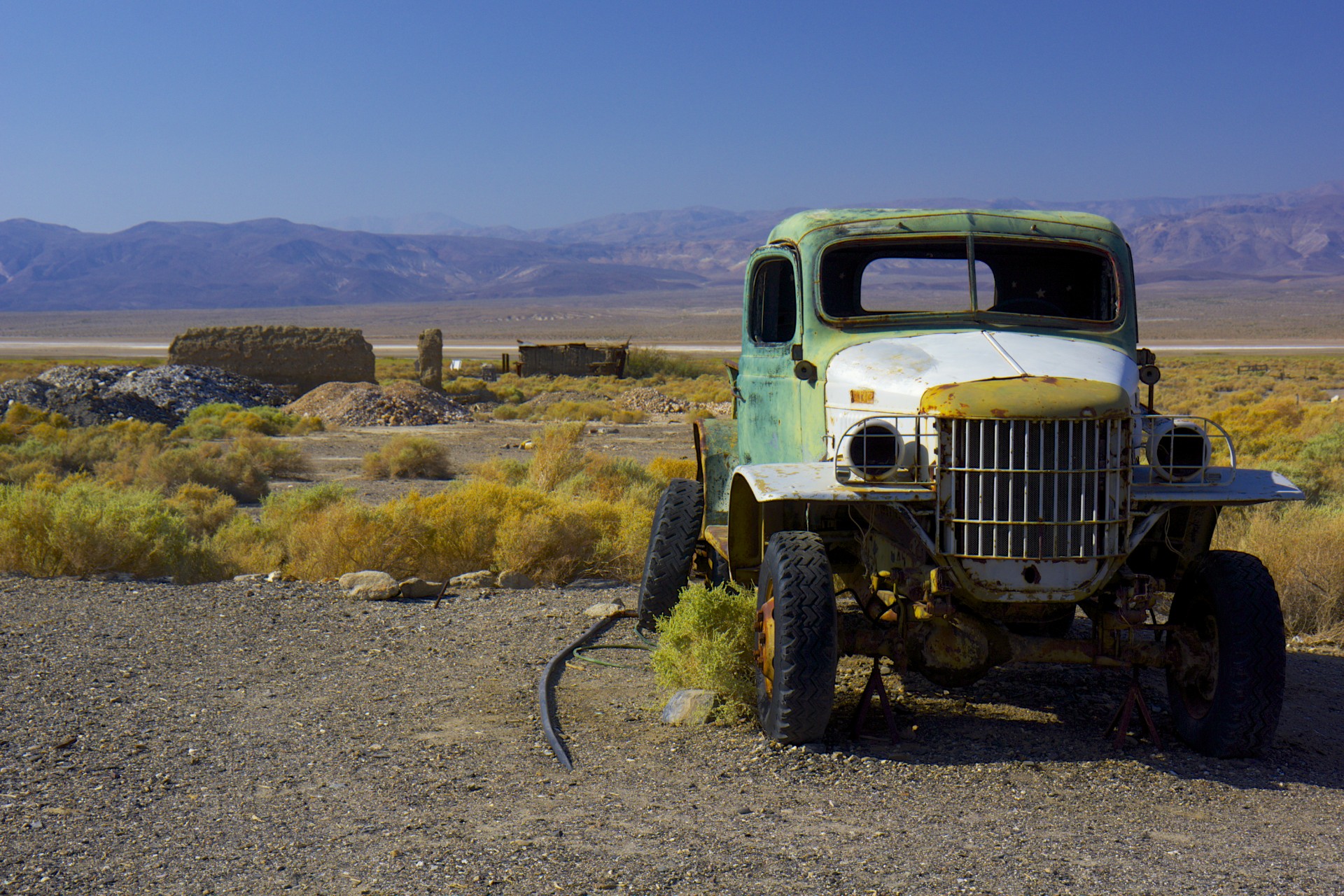
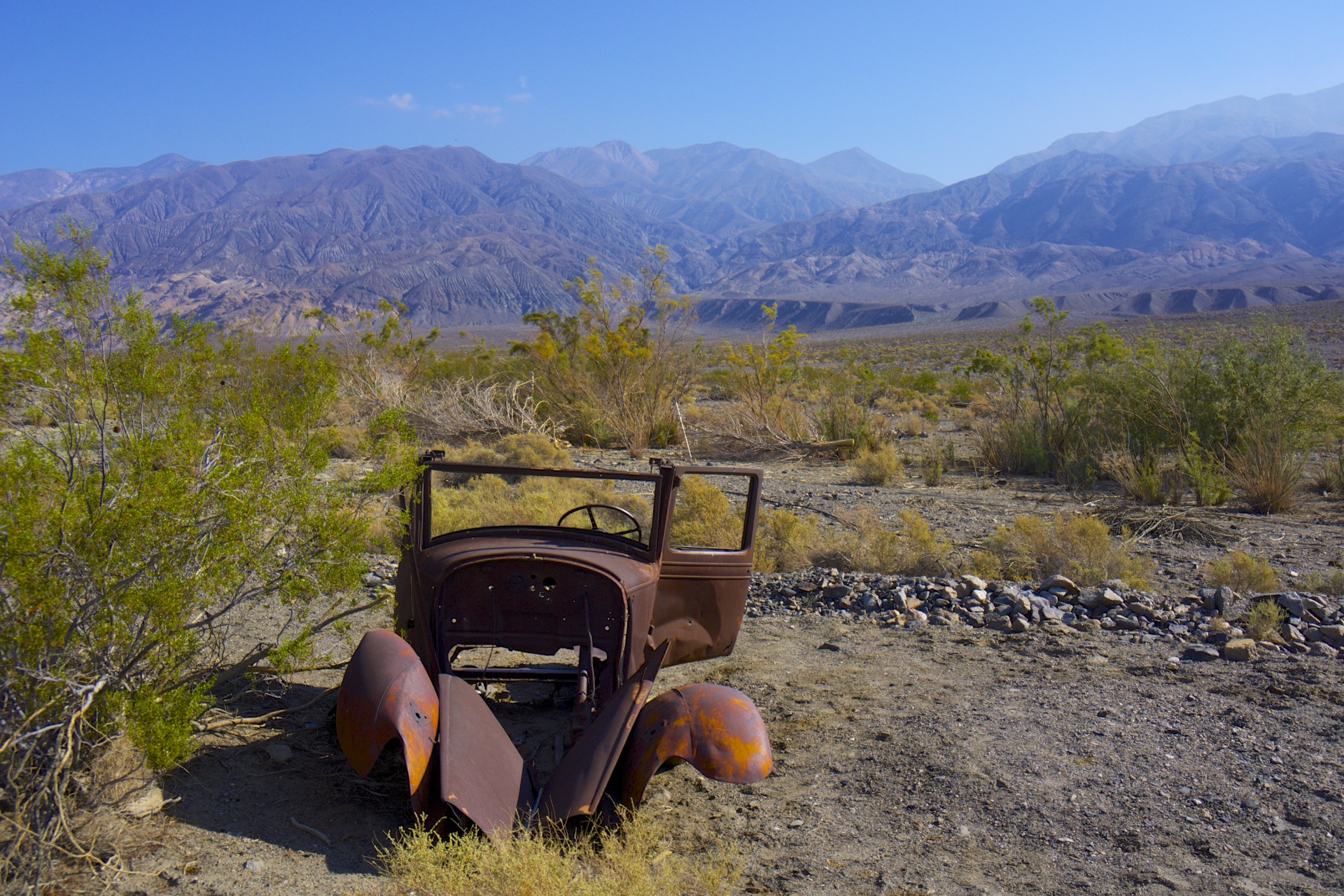
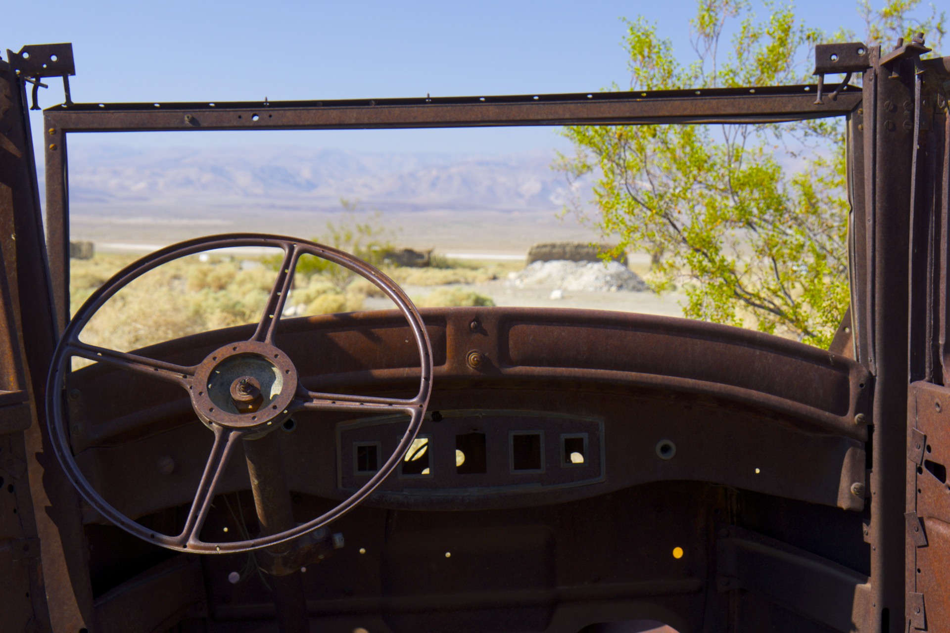
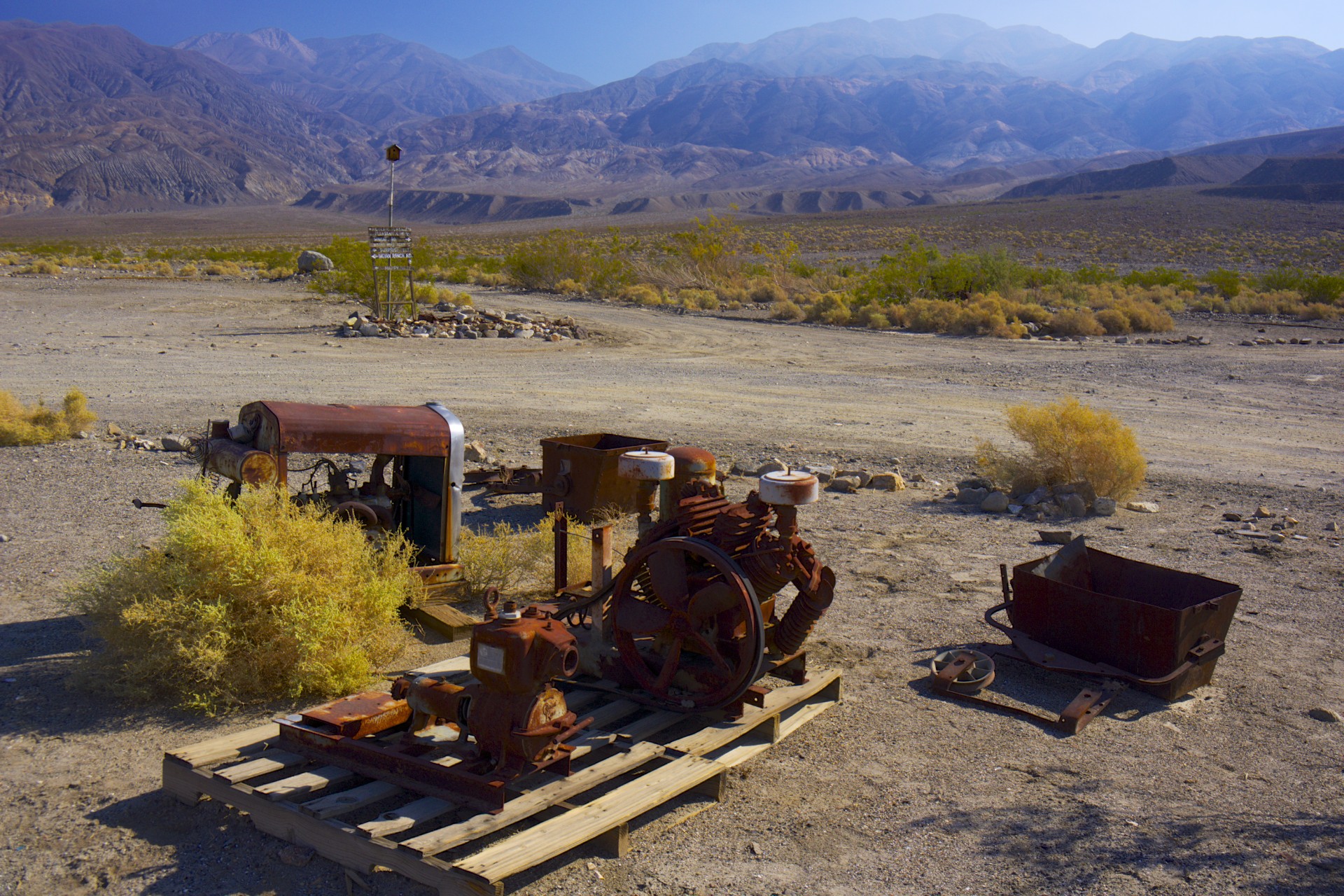
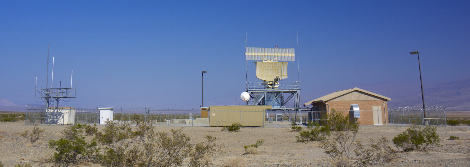
The next morning I was off to the south, taking the shortcut over the Panamints through Emigrant Pass (the same route used by the lost 49’ers who named Death Valley) with a short detour to the ghost town of Ballarat, the most accessible remnant of a gold rush in the southern Panamints. Like all of the other ghost towns in the area it boomed while the mines were producing and then quickly busted once they failed. The typical rusted out cars, junk equipment, and building ruins dot the landscape around the phantom street grid. In this case a few desert rats maintain a general store and the former jailhouse. Along the road out of Ballarat a large radar installation hums away, probably tracking the military jets that blast between the mountains practicing low altitude maneuvers.
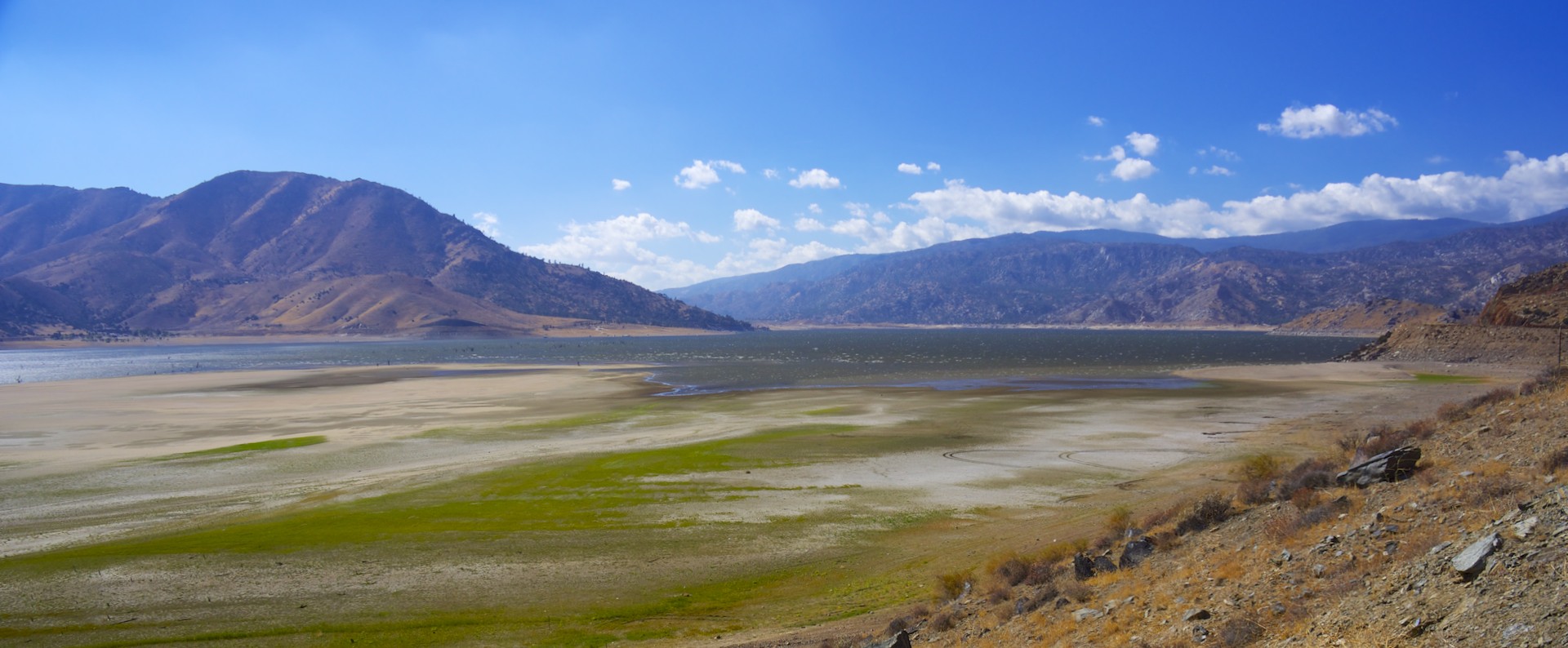
Climbing up out of the desert into the extreme southern reach of the Sierra Nevada the road passes Lake Isabella, a reservoir constructed at the junction of the branches of the Kern River. The river previously ended in a slough at the southern end of California’s Central Valley where the city of Bakersfield now stands. These days, thanks to reservoirs like Lake Isabella, the river is nearly entirely diverted to the irrigation canals that California agriculture depends on. Unfortunately for the farmers (and the recreational businesses that have sprung up around the lake) all is not well here. Weaknesses were found in the dam structure and a fault line directly underneath it was identified as active. Based on the threat the reservoir poses to the communities in the valley below it the water level had been significantly lowered and the drought that California has been experiencing has lowered it further. Now much of the reservoir appears as a broad meadow with the skeletons of trees long since drowned jutting up out of the remaining water.
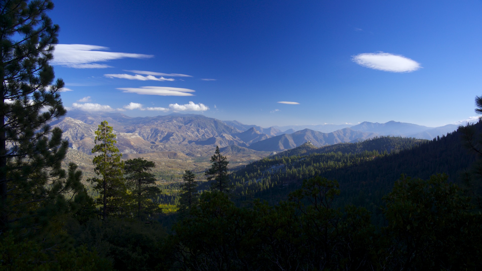
Turning north from Lake Isabella the road follows the Upper Kern as it leads higher into the Sierra Nevada. After 20 miles the road leaves the river and heads for Parker Pass while the river goes on its way, carving a deep canyon reaching 50 more miles up into the southern Sierra Nevada wilderness past Mt Whitney, draining the western flakes of the tallest peaks in the range.
From Parker Pass the road splits, with one branch running downhill to “California Hot Springs”. Lured in by the name I took the turn and wound down the switchbacks out of the mountains and into the foothills only to discover that the Hot Springs is really just a swimming pool. Turning around and climbing back up to Parker Pass I took the other route, riding along the Great Western Divide, the ridge separating the central Sierra watershed of the Kern to the east from the creeks and rivers that make their way out to the Pacific in the west. After passing through a few sequoia groves this road quickly turns down to the foothills as well and leaves the mountains to the hikers and the trees.
I ended the night in the little town of Springville, holding its annual Apple Festival, low in the foothills of the Sierras. Once again my electrical gremlins struck, this time at a Forest Service fire station where I had stopped to check the map. Just as last time it would not start and a quick tear-down did not reveal any loose connections. Fortunately the fire crew was just returning from a call and offered that I could camp out behind the station (a much better option than the offer from the brothel the previous night). After some tinkering it turned out that corrosion on the battery cables was the cause of all my problems and a few minutes with a wire brush cleared everything up. Everything worked out for the best as I soon discovered that the campground I was heading to was closed (I’m not entirely sure why something that consists entirely of an unattended patch of dirt, trees, and picnic tables would be closed) so I returned to the fire station and took them up on their offer of a place to camp.
The next morning brought rain, which means snow up in the mountains, so rather than continuing north up into Sequoia and Kings Canyon National Parks as I had originally planned I turned west out into farm country. This took me past Lake Success, another mostly-empty reservoir with boat launches left high-and-dry and a story all too similar to Lake Isabella (flawed dam combined with a drought) and Corcoran State Prison, currently the home of one Charles Manson who was captured not too far from Ballarat where I had been the day before. Along the way I suffered through much rain and the manure being kicked up off the road by the heavy farm trucks hauling produce out of the fields. Thanks to the water diverted from the mountains this broad, flat valley (it could have been Kansas if it were not for the mountains looming in the background) is completely carpeted with every type of crop imaginable. Row after row of apples, oranges, pistachios, corn, and even garlic (you could smell the processing plant before you could see it).
After 80 miles the mountains once again rise up, this time sections of the Coast Ranges. Twisting west through the mountains eventually leads to the Salinas River and Route 101, the major coastal highway running up to Monterey Bay, while the more scenic route branches off to follow the rift of the San Andreas Fault right up the center of the range and past Pinnacles National Monument to Hollister. After one final all-out torrential downpour the clouds finally let up and dispersed, leaving sunny blue skies for the rest of the day as I cruised up the rift valley.
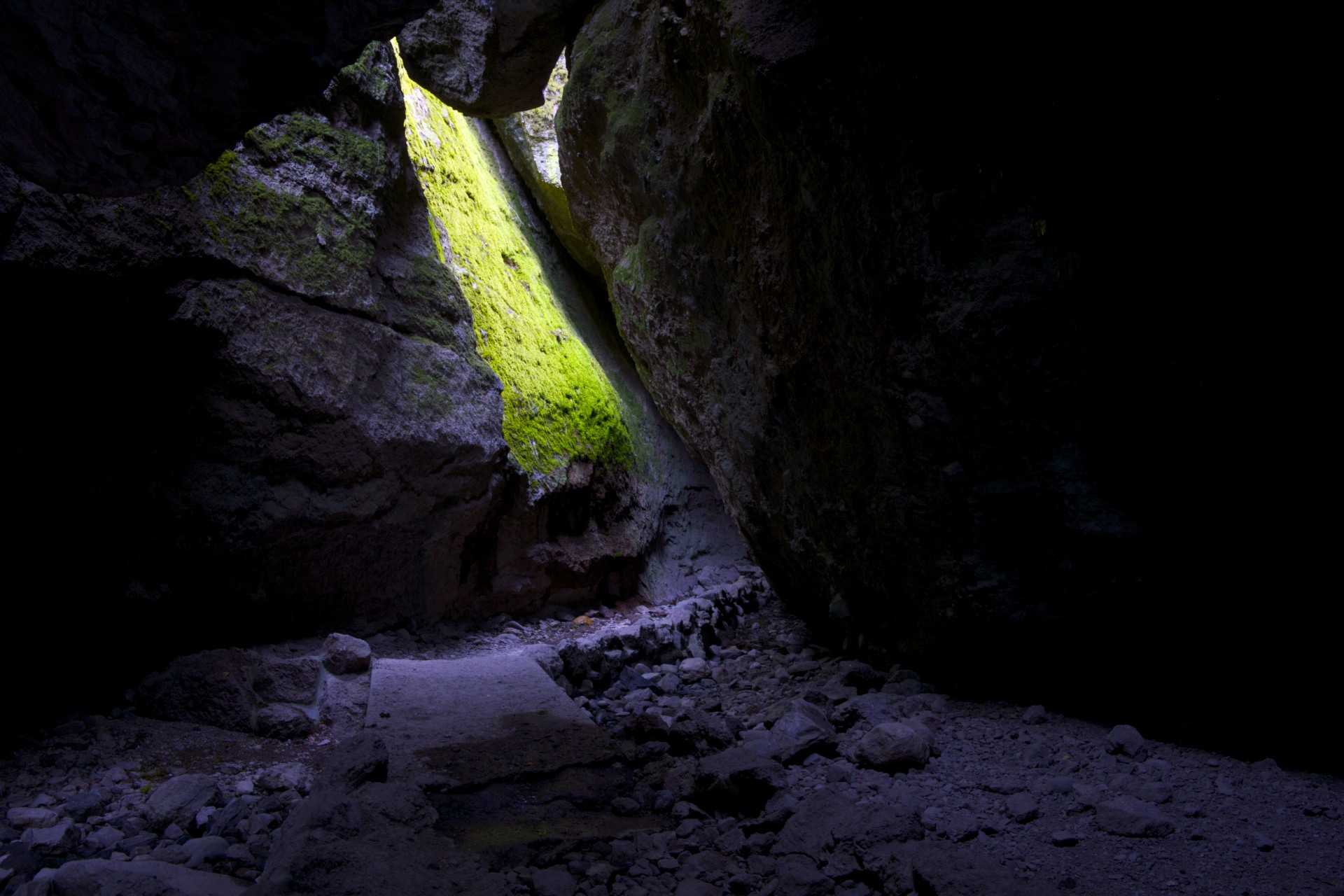
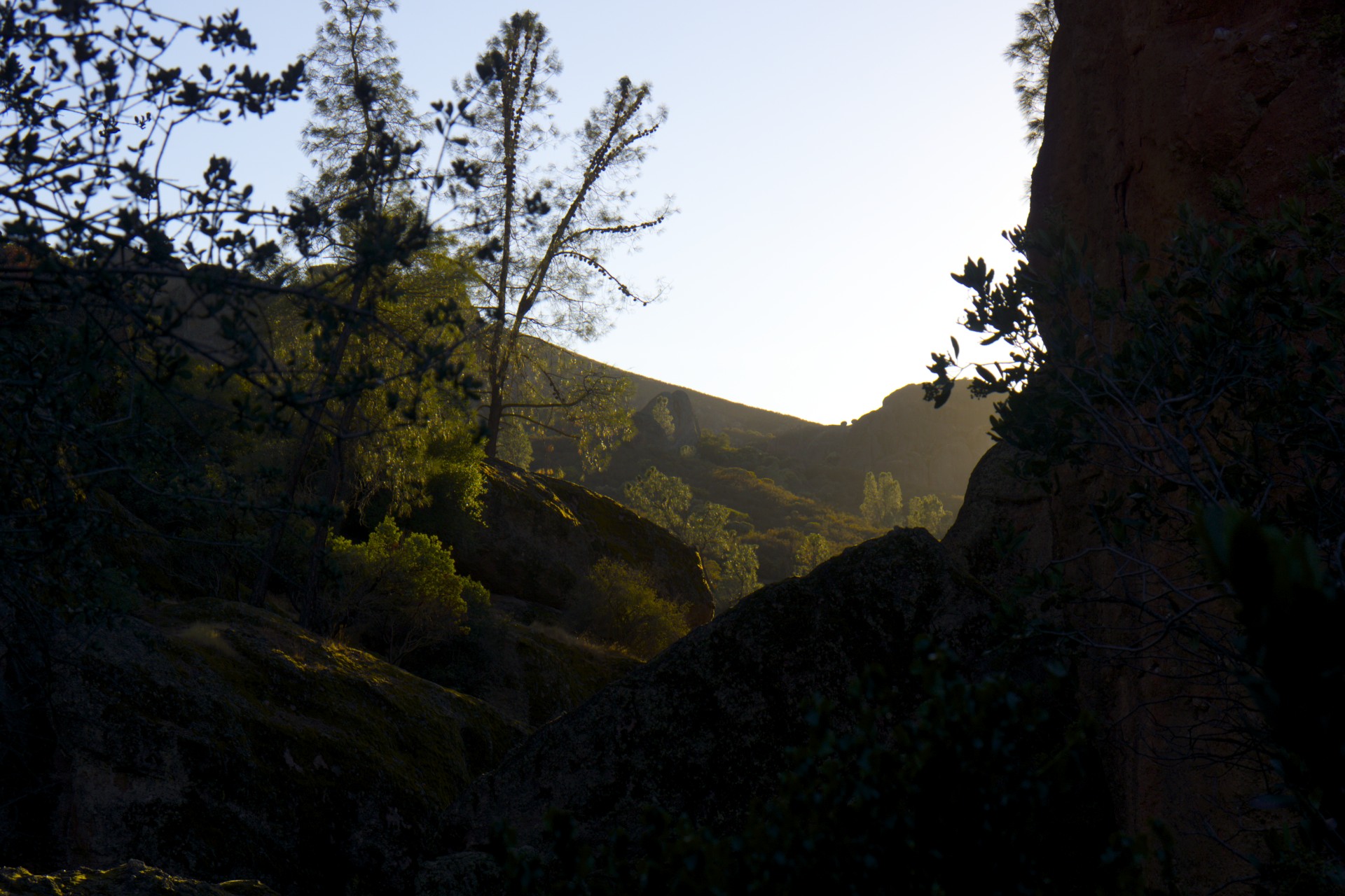
The Pinnacles are the petrified remains of the core of an old volcano. The resilient towers of hard rock stand above the eroded landscape surrounding them. Rather than wind and water the biggest force of erosion on these towers appears to be the San Andreas fault only a few miles away. The frequent and strong earthquakes knock loose enormous pieces of stone that jam into the narrow gulches around the bases of the mountains forming jumbled caves. One of these, Bear Gulch, is normally home to a large number of bats but I had the luck of arriving during on of the very few weeks each year when they leave the caves and the park service allows tourists to climb all the way through. These aren’t what you would normally think of when hearing the word “cave”, rather than a continuous shaft through the rock it is really much more of a maze of boulders. Bits of light peak in here and there and a creek flows through the bottom, the combination of sun and water allowing moss to grow wherever they meet.
Finally it was on up to San Jose at the southern end of San Francisco bay where unfortunately this trip has to come to an end. A hurricane is winding up the east coast of the US threatening New York City where, I left my boat 2 weeks ago, so I have to leave the bike here in San Jose and fly back to evacuate before the storm hits.


- Acadia National Park
- Adirondacks
- Aerial
- Airstream
- Ancient Bristlecone Pines
- Anza-Borrego
- Appalachian Trail
- Arches National Park
- Backpacking
- Bad Larry
- Bears Ears National Monument
- Boatpacking
- Boston
- Bryce Canyon National Park
- Canoeing
- Canyon de Chelly National Park
- Canyoneering
- Canyonlands National Park
- Capitol Reef National Park
- Caribbean
- Catskills
- Cities
- Climbing
- Colorado National Monument
- Colorado Plateau
- Death Valley National Park
- Europe
- Fisher Towers
- Grand Canyon National Park
- Grand Staircase-Escalante National Monument
- Grand Teton National Park
- Gunks
- Hiking
- Iceland
- Joshua Tree National Park
- Lassen Volcanic National Park
- Manzanar National Historic Site
- Mojave Desert
- Mojave National Preserve
- Mountaineering
- Mt Washington
- Mt Whitney
- Natural Bridges National Monument
- New York CIty
- Pacific Northwest
- Petrified Forest National Park
- Pinnacles National Monument
- Red Roamer
- Road Trips
- Rocky Mountains
- Ruins
- Sailing
- San Diego
- San Francisco
- Sequoia National Park
- Sierra Nevada
- Skiing
- Sonora Desert
- Spelunking
- Superbloom
- Superstition Mountains
- White Mountains
- Yellowstone National Park
- Yosemite National Park
- Zion National Park