Chris Roams
Travel, Adventures, and Photography
Navigational Issues
March 12, 2012
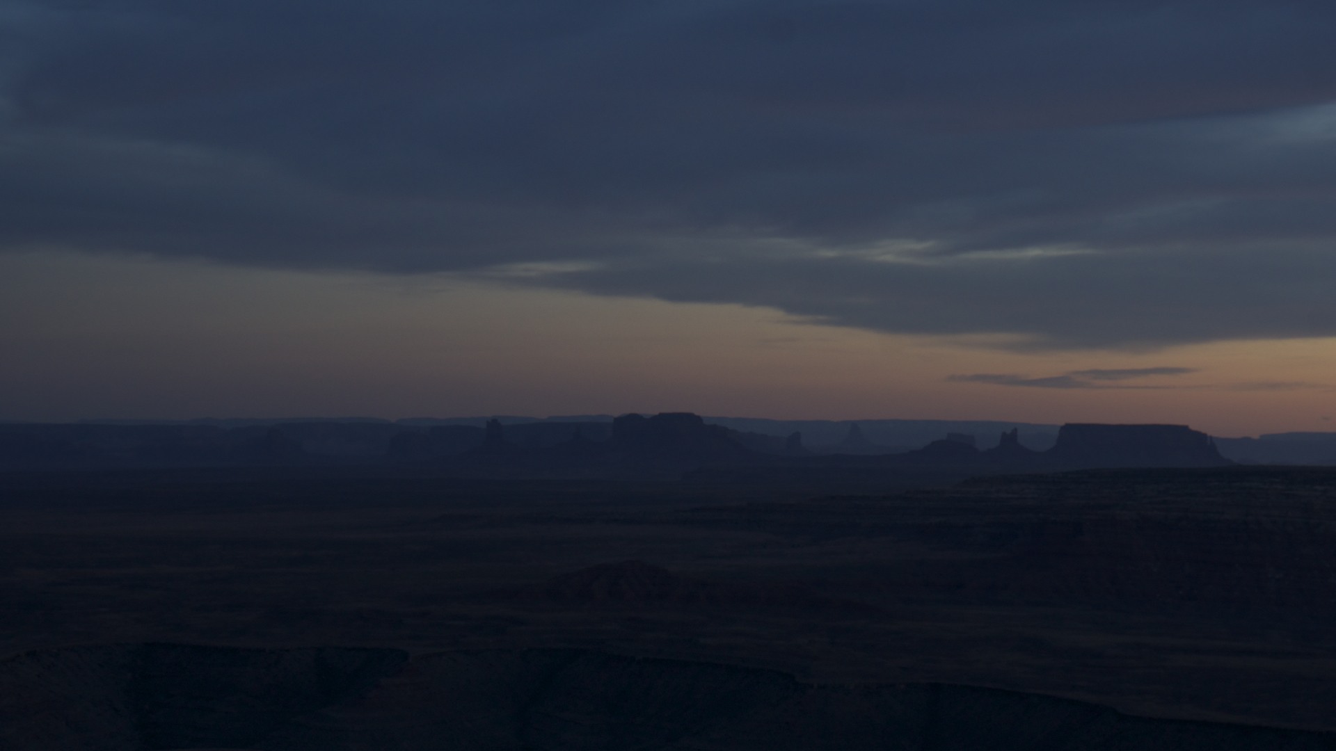
With the dawn of another day and still not even the inkling of a plan I set off again. There aren't many ways to get out of Sedona and I had already used most of them so in the morning I went back up Oak Creek Canyon and north to Flagstaff, and kept going. The Grand Canyon blocks all travel to the northwest from Flagstaff so I went northeast across Navajo territory to Monument Valley on the Arizona/Utah border. Almost anyone would recognize a photo of Monument Valley even if they don't know it by name, its iconic red buttes have been featured in more western movies and TV commercials than I care to count, for starters it's the spot where Forrest Gump decided to stop running. I came through this area nearly a decade ago and remembered it mainly as empty desert with a few lonely shacks offering horseback tours through the monuments. Now the town of Kayenta, a few miles to the south, seems to have sprouted all of the modern conveniences (although despite the signs prohibiting tourists from walking their dogs it has still retained its wandering dogs that seem to be a fixture of any native town out west). The valley itself now has a fancy visitor center with a fee to get in.
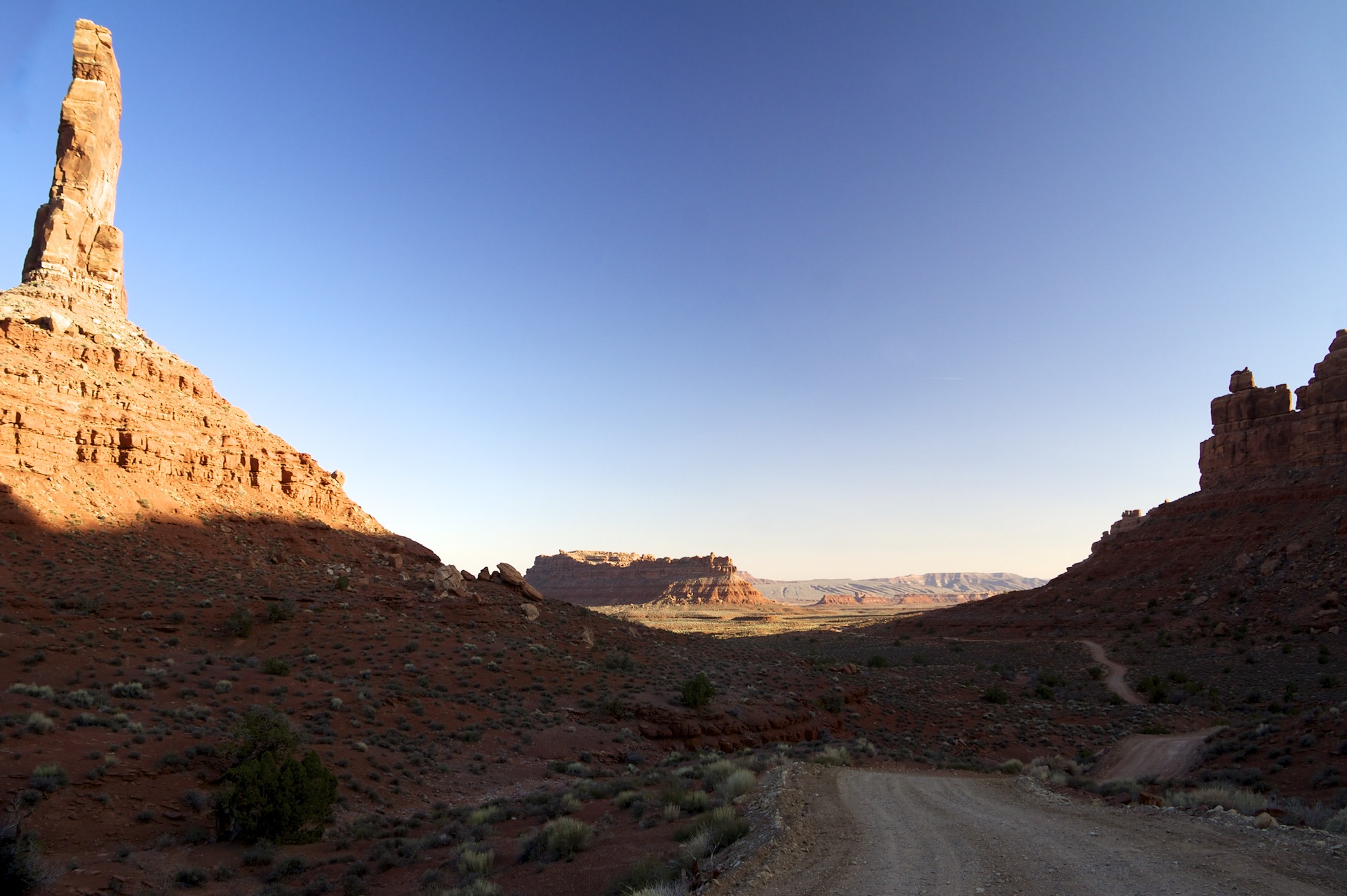
But I wasn't interested in any of that so I continued on to the north, just across the San Juan River, outside the Navajo Reservation, to the Valley of the Gods. Not as well known as Monument Valley despite its proximity (or perhaps because of it) the Valley of the Gods is like a miniature version of its neighbor (although it is only small by comparison). The buttes in the Valley of the Gods are shorter and packed closer together than the huge monoliths scattered across the vast plain of Monument Valley offering a tighter feel. A single dirt road snakes through the heart of the valley passing right beneath the stone towers, very different than miles-away view most people get of the Monuments to the south.
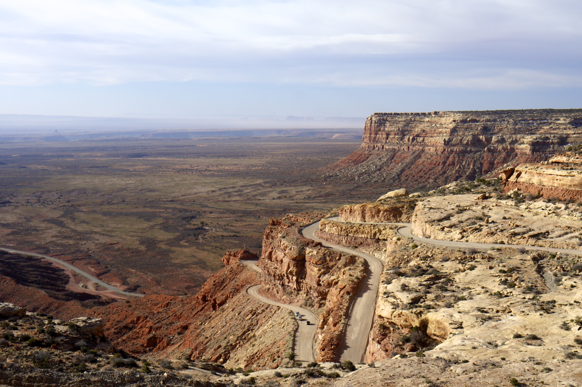
The northern edge of the Valley of the Gods is penned into a triangle with US route 163 marking the southeastern edge, Utah route 261 on the southwestern edge, and the 1,000 foot high wall of Cedar Mesa blocking access from the north. Utah 261 merely serves to connect route 163 with route 95 far a few dozen miles to the northwest and is an otherwise unremarkable paved road (for Utah at least) with one exception: in order to get to where it's going it has to climb up the vertical edge of Cedar Mesa. Approaching the wall on Route 163 it seems almost impossible that a road could climb the cliff face, in fact from below the path up can barely be seen. As the road takes its first turn up onto the cliff the pavement turns to dirt, and only resumes after 2 and a quarter miles of twisting dirt with no guardrails, 800 feet above and as the crow flies only 1/3 of a mile from where it stopped.
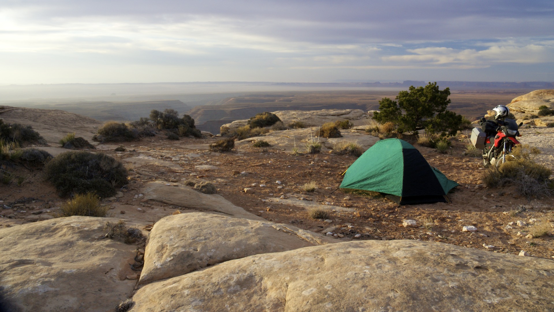
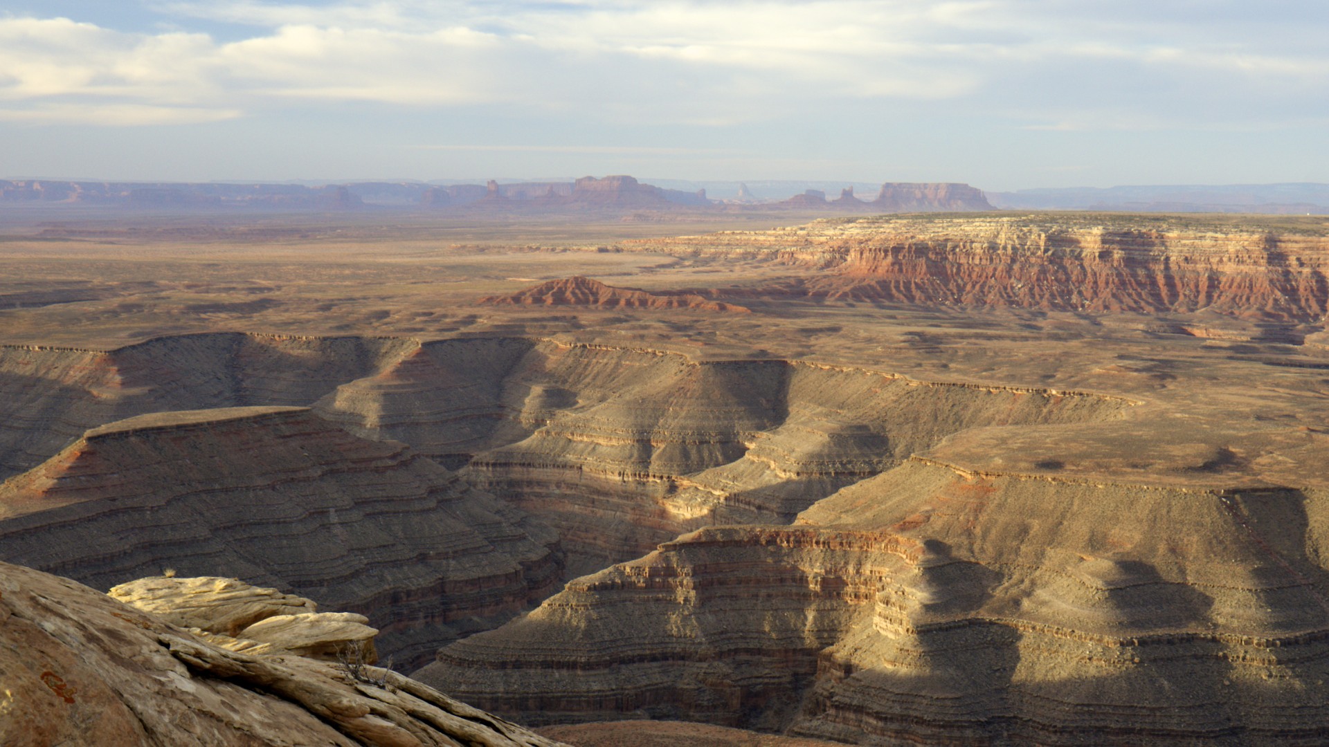
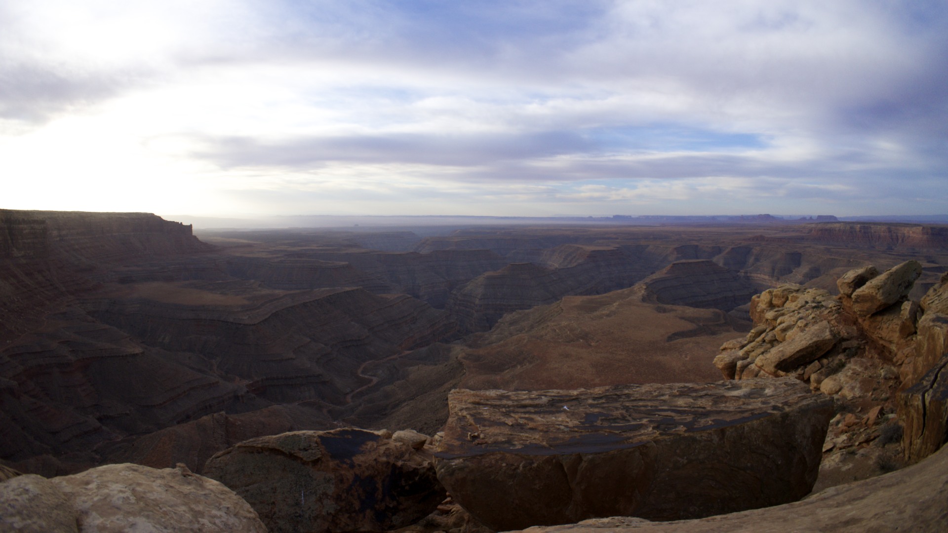
My destination for the night was Muley Point, a long peninsula of stone jutting out of Cedar Mesa, nearly up to the edge of the San Juan River carving its own canyon out of the valley floor 2,500 feet below. Having successfully climbed the Moki Dugway I was off to find the dirt road out to the point. While my trusty GPS told me that it knew the way this was unfortunately one of those times where the GPS was not to be trusted. Blindly following its instructions I proceeded a mile and a half up the paved road beyond the top of the Moki Dugway before turning left onto a deeply rutted track that didn't quite seem like it was as well maintained as a road to such a spectacular viewpoint should be, but figuring that mere tire ruts were no match for the awesome capabilities of a BMW GS I decided to continued on for about a half mile to where the GPS told me to expect an intersection. By this time the mental alarm bells were ringing, but the intersection what right where the GPS said it would be so I took another left, onto a deeper and now very muddy rutted track. It was a slow slog through muck but the road was climbing in elevation so with the hope that I would soon climb above the muck I pressed on and in not-so-short order I did, onto and directly up a series of increasingly rugged rock ledge interspersed with stream beds flowing towards the cliff face a few dozen yards off to the right. If the sun wasn't going down this would have made for an entertaining obstacle course but the sun was going down and obstacle courses are much less fun in the dark. The GPS indicated that while I was following a road along the western edge of the point there was a parallel road following the eastern edge of the point, but this eastern road was shown as an even rougher trail I was on (how I couldn't comprehend). Finally after consulting the USGS topo quad, the GPS's topo data, the GPS's road data, the iPhone map application, and satellite imagery (no two of which completely agreed with each other) I decided to scout out a small crossover road up ahead that connected the 2 parallel roads just to see if the eastern route could possibly be any worse than the one I was on. Navigating with the USGS topo quad and satellite picture (as the GPS didn't show the connector) I arrived at the intersection, or rather I arrived at the barbed wire fence separating me from the intersection. At this point I was committed to press on, I had come too far to be turned back, so I found a "gate" (just a section of fence where 2 posts had been lashed together so one could be removed to peel back the wire and allow passage) and passed through. The connector dumped me out onto the most beautiful dirt road I have ever seen, flat, wide enough to 3 cars to pass side by side, and freshly graded. It turned out that somehow the road database in the GPS has the roads reversed, while the eastern route is a well maintained dirt road it considered the rough ranch path on the west side to have priority (they both eventually lead to the point). So much for trusting the GPS.
Finally at my destination (having barely missed the sunset due to the preceding navigational difficulties) I proceeded to set up my tent on the very windy point, only a few dozen yards wide with 1,000 foot drops on 3 sites. Trying to stake down my tent I quickly realized that the few flat spots with soil suitable for a tent (as opposed to the bare rock on the rest of the point) were actually not much more than an inch of sand on top of sandstone. After way too much effort I managed to hammer most of the test stakes at least partway into the underlying stone although some were barely sunk an inch in while others were set a few feet from the tent where a softer spot was available and were connected to the stake loops on the test by runs of accessory cord. As a final precaution I tied a few loops of accessory cord between the tent, the fly, and the motorcycle so at least if the wind picked up in the night and ripped the stakes out the tent (and everything in it) wouldn't just cartwheel off the cliff edge.


- Acadia National Park
- Adirondacks
- Aerial
- Airstream
- Ancient Bristlecone Pines
- Anza-Borrego
- Appalachian Trail
- Arches National Park
- Backpacking
- Bad Larry
- Bears Ears National Monument
- Boatpacking
- Boston
- Bryce Canyon National Park
- Canoeing
- Canyon de Chelly National Park
- Canyoneering
- Canyonlands National Park
- Capitol Reef National Park
- Caribbean
- Catskills
- Cities
- Climbing
- Colorado National Monument
- Colorado Plateau
- Death Valley National Park
- Europe
- Fisher Towers
- Grand Canyon National Park
- Grand Staircase-Escalante National Monument
- Grand Teton National Park
- Gunks
- Hiking
- Iceland
- Joshua Tree National Park
- Lassen Volcanic National Park
- Manzanar National Historic Site
- Mojave Desert
- Mojave National Preserve
- Mountaineering
- Mt Washington
- Mt Whitney
- Natural Bridges National Monument
- New York CIty
- Pacific Northwest
- Petrified Forest National Park
- Pinnacles National Monument
- Red Roamer
- Road Trips
- Rocky Mountains
- Ruins
- Sailing
- San Diego
- San Francisco
- Sequoia National Park
- Sierra Nevada
- Skiing
- Sonora Desert
- Spelunking
- Superbloom
- Superstition Mountains
- White Mountains
- Yellowstone National Park
- Yosemite National Park
- Zion National Park