Chris Roams
Travel, Adventures, and Photography
Where We Left Off
March 03, 2012
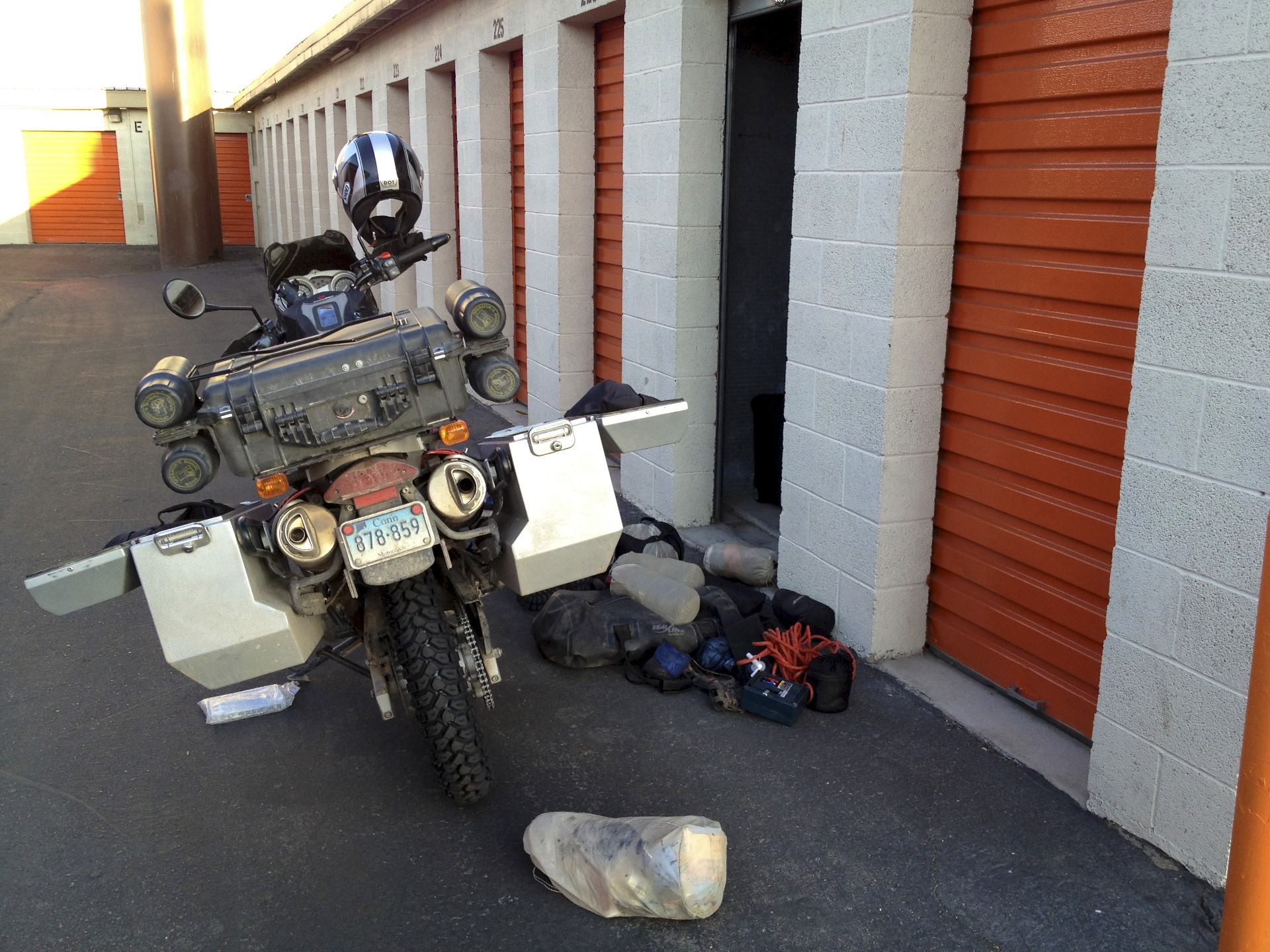
Back in November I shipped my motorcycle to Salt Lake City and spend nearly 2 months riding, camping, and hiking around the deserts of southern Utah, Nevada, and eastern California with a brief jaunt over the Sierra Nevada into Yosemite. Finally in January it was time to stash the bike in a self-storage unit in Las Vegas and fly home, but now it's time to pick back up where I left off. Thousands of miles of desert travel takes its toll and before heading back out some maintenance was necessary but why maintain when you can upgrade. The stock tires, more suitable for pavement than off-road riding (and terrifying in mud, snow, or sand), have been replaced with something a bit knobbier while the front sprocket's replacement has one less tooth than the original to provide a bit more torque at the expense of top-end speed (perfect for a little 650 loaded down with camping gear climbing at high altitude).
Las Vegas is becoming all too familiar, not so much by choice as much as the virtue that it's a major crossroads of the Southwest with cheap flights, cheap hotels, an REI, and a BMW Motorcycle dealer. The advantage of local knowledge makes for a quick getaway however, the campground on Las Vegas Bay is only a 30 minutes from the airport and makes for a perfect place to spend the night on the way into or out of town. Even when trying to get out of town in a hurry Las Vegas never ceases to amaze and confuse: In the space of a few minutes I saw a B2 stealth bomber "in the wild" (presumably heading to Nellis) and a guy riding a stationary bike mounted on top of a billboard (definitely a real guy: I beeped, he waved). Once again I've forgone the tent out of sheer laziness and tossed my bedroll out on a picnic table to sleep under the stars. It may be March but it is still winter in the desert with temperatures dipping into the low 30's at night, even in Las Vegas. As usual I didn't really set out with much of a plan, just a bunch of maps. I had originally entertained the idea of heading across to Flagstaff up on the Colorado Plateau but the morning cold and the wind convinced me to head south instead, towards Phoenix and a much warmer elevation.
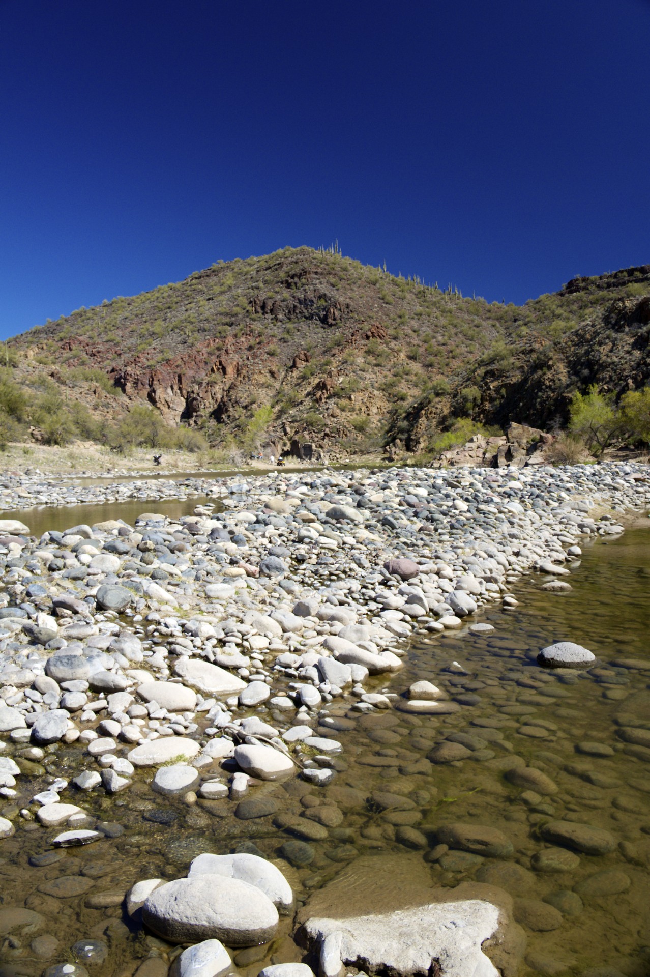
One of the quirks of bike riding is that barreling down a straight open highway quickly becomes boring and tedious while leaning and weaving through twists and turns keeps things interesting. Somewhere along the highway to Phoenix the boredom finally set in and was remedied by a turn onto a smaller road leading off into the mountains followed shortly thereafter by another turn onto a dirt trail along what was signed as the Santa Maria River to test the new tires. The Santa Maria River can barely be called that, only running when it is raining. The riverbed where it crosses under the road is just dry sand, criss-crossed by enough ATV tracks to show that it hasn't rained in quite some time. A few RVs were boondocked along the river, mostly with ATVs out front indicating that they were here to enjoy the trails although one was a miner who had traveled to the area for a job interview and had stopped to spend a few nights and read a book. A rough dirt road leads along the wash into the beginnings of a small canyon where the sandy wash becomes a shallow pool of water stagnating around the remnants of a destroyed man-made dam and penned in by its own natural dam of rocks. I wouldn't necessarily say the new tires are "good" in the sand (I don't think there is any such thing) but they are definitely less bad, upgrading the experience from "terrifying" to merely "disconcerting". A few gun-toting locals on ATVs were milling about enjoying the scenery and dodging the many honeybees that travel here presumably to drink from the pool of water.
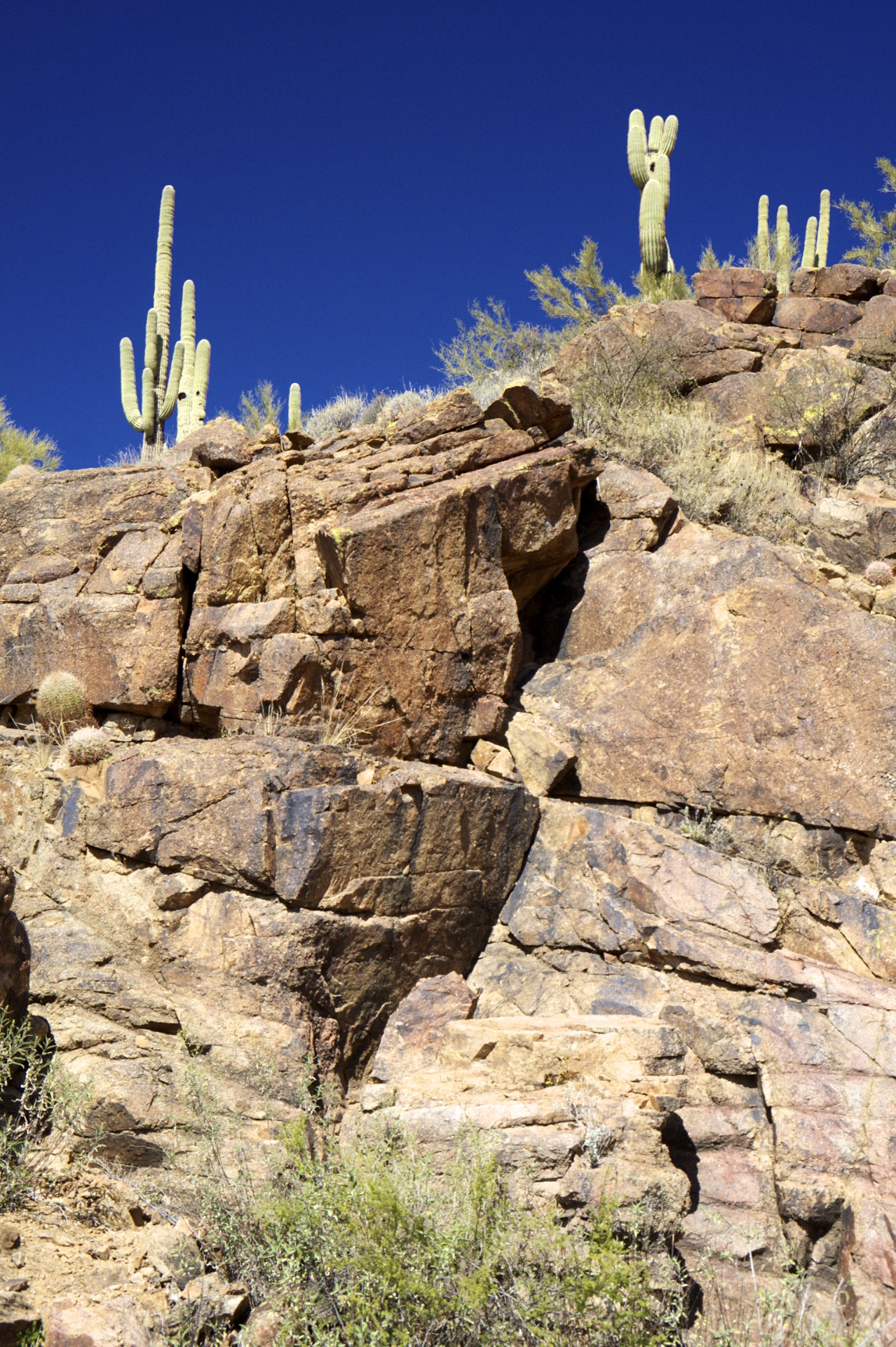
It should be mentioned that the desert Southwest is actually made up of a number of different and unique deserts and while I have spend quite a bit of time in the Mojave of Nevada and southern California as well as up on the Colorado Plateau of Utah and northern Arizona during my previous trips this is the first time I've spent any time in the Sonoran Desert of southern Arizona. The Sonoran desert is overall much lower in elevation than the Colorado Plateau and is generally much warmer in the winter as a result (although both can be brutal in the summer). Low mountain ranges, a few thousand feet above the surrounding desert, interrupt the otherwise flat landscape of the Sonora but do not completely block travel the way the long and tall ranges of the Mojave do with their snow covered passes. The iconic Saguaro cactus only grows here in the Sonora along with dozens of other thorn covered plants and venomous animals (including the Gila Monster).
After my brief off-road adventure I continued east over the mountains towards Prescott. One hazard of new tires is the non-stick coating that allows the rubber to easily separate from the mold when the tire is made, this coating prevents the new tire from developing the normal amount of traction until it has been worn off. On a car where tires are square in profile one just drives normally until the coating is gone, on a motorcycle however it can be a major hassle: bike tires are round in profile and bikes only use the strips of tread near the edges when they lean into a turn. With new tires the rider must carefully take corners incrementally increasing the lean angle to begin wearing off the "chicken strips" on the edges of the tread. If the bike is leaned over too far too soon the tires will likely slip right out from under the bike. The twisty roads through the mountains are perfect for this exercise and the road to Prescott offered plenty of opportunities to wear the edges down.
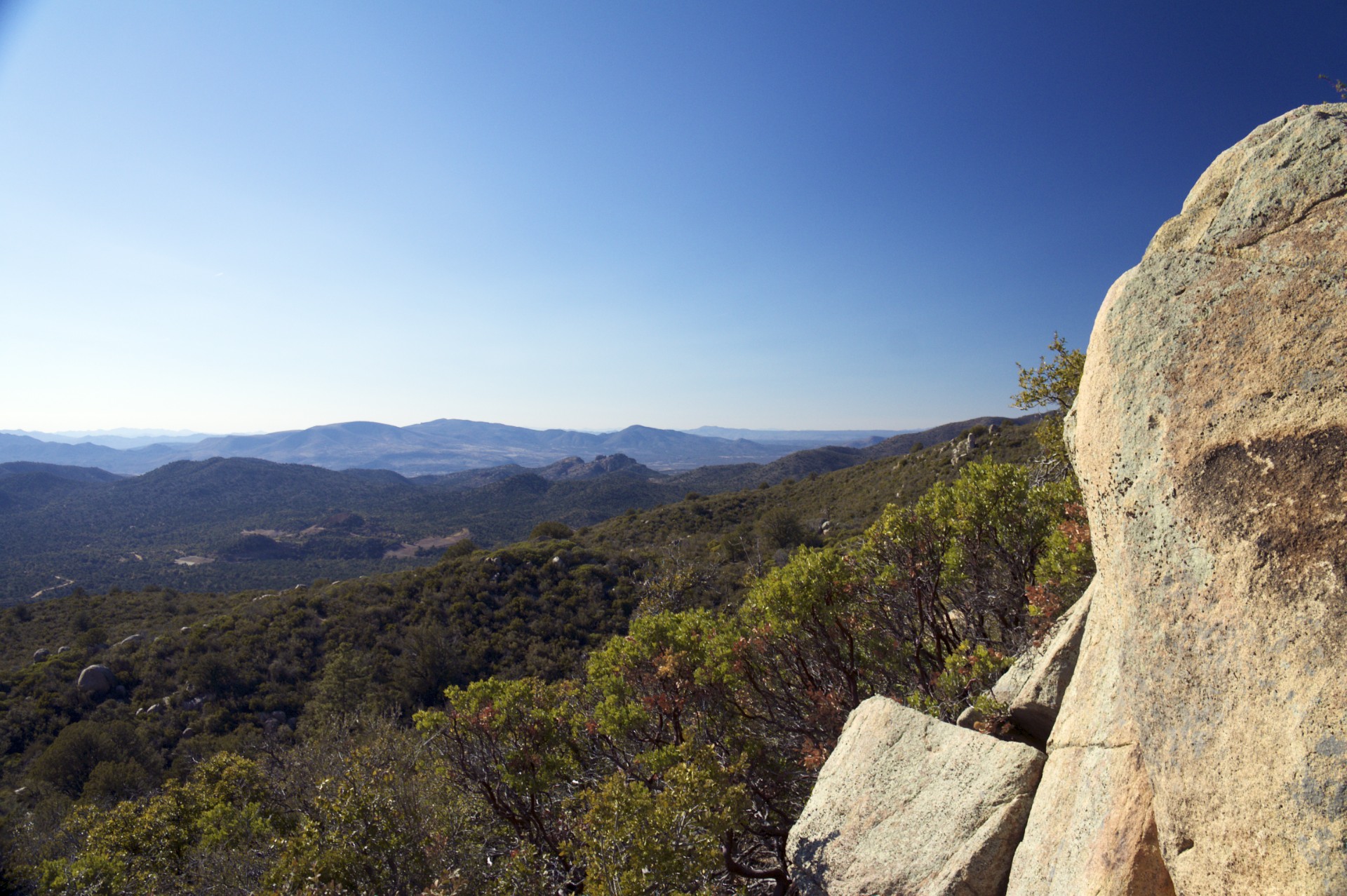
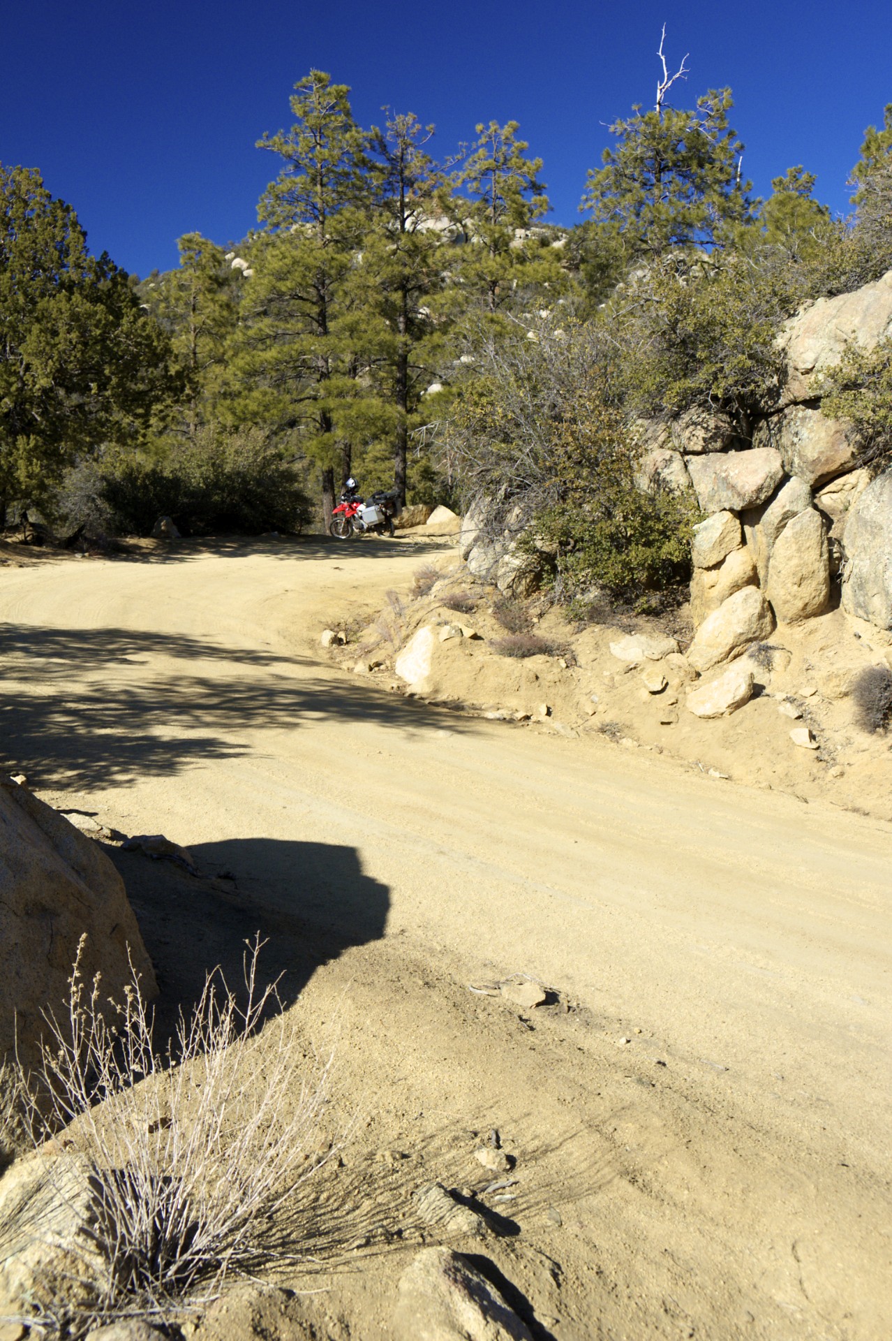
One of the big advantages of a dual-sport bike is never having to say "I wonder where that trail goes?", you can always find out the hard way. Somewhere between Nothing and Prescott (yes, the spot where I turned off the main highway to Phoenix is named "Nothing") I spotted a dirt track winding up the face of one of the mountains and fairly soon thereafter passed a small dirt trail splitting off from the paved road. A few locals were out target shooting near the trailhead and said that the trail did in fact connect through to Prescott and offered some vague directions so off I went. The trail up what I found out is called Copper Creek wasn't much more than a washed out gully that I suspect became as wet as the creek itself when it rained. The ruts and loose rocks made for interesting travel but eventually the trail connected with a larger and better maintained trail that wound up along a mountain ridge into Copper Basin (I think). I have no idea if the trail I ended up on was the same one that I saw from the pavement but it certainly went up a mountain in spectacular fashion intersecting with dozens of other trails. I have a feeling that if I had a proper map I would have been able to make it all the way from the Santa Maria River to Prescott without ever touching pavement. After clearing the ridge and barreling down the far side of the mountains the forest road suddenly drops out onto pavement in a housing development in suburban Prescott, quite a shocking transition.
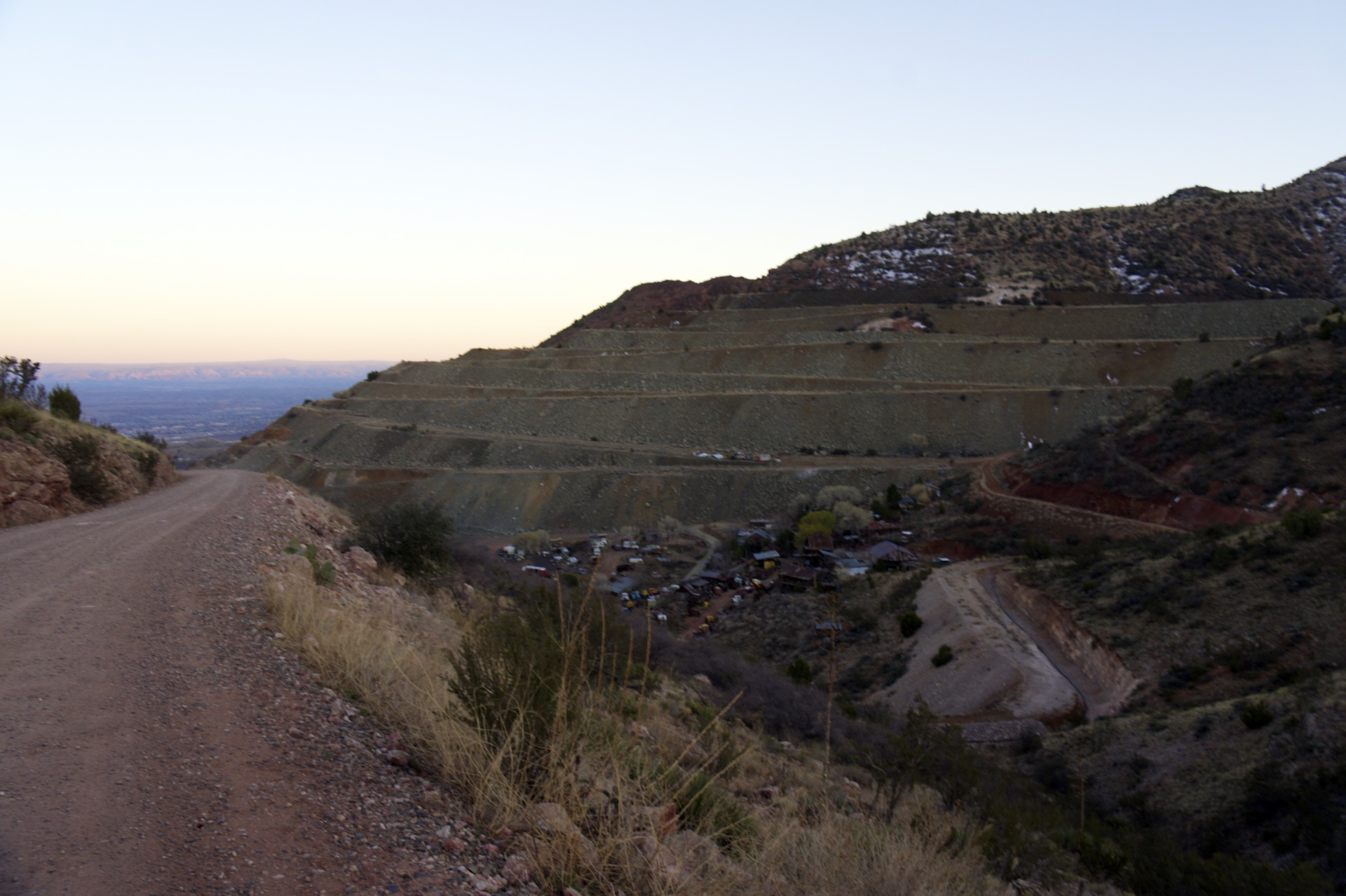
After a fuel stop in Prescott it was on to Sedona, my eventual objective for the night, via some more twisty mountain roads. The final descent out of the mountains and into the valley that holds Sedona passes through a little town called Jerome, precariously perched on the side of the mountain 1,500 feet above the valley floor below with the main road through town transcribing a mile long switchback, its two halves only 200 feet apart but separated by 100 feet of elevation. Looming over the town is the enormous terraced side of Mingus Mountain, stripped out in the search for copper, the original reason for the town's existence.
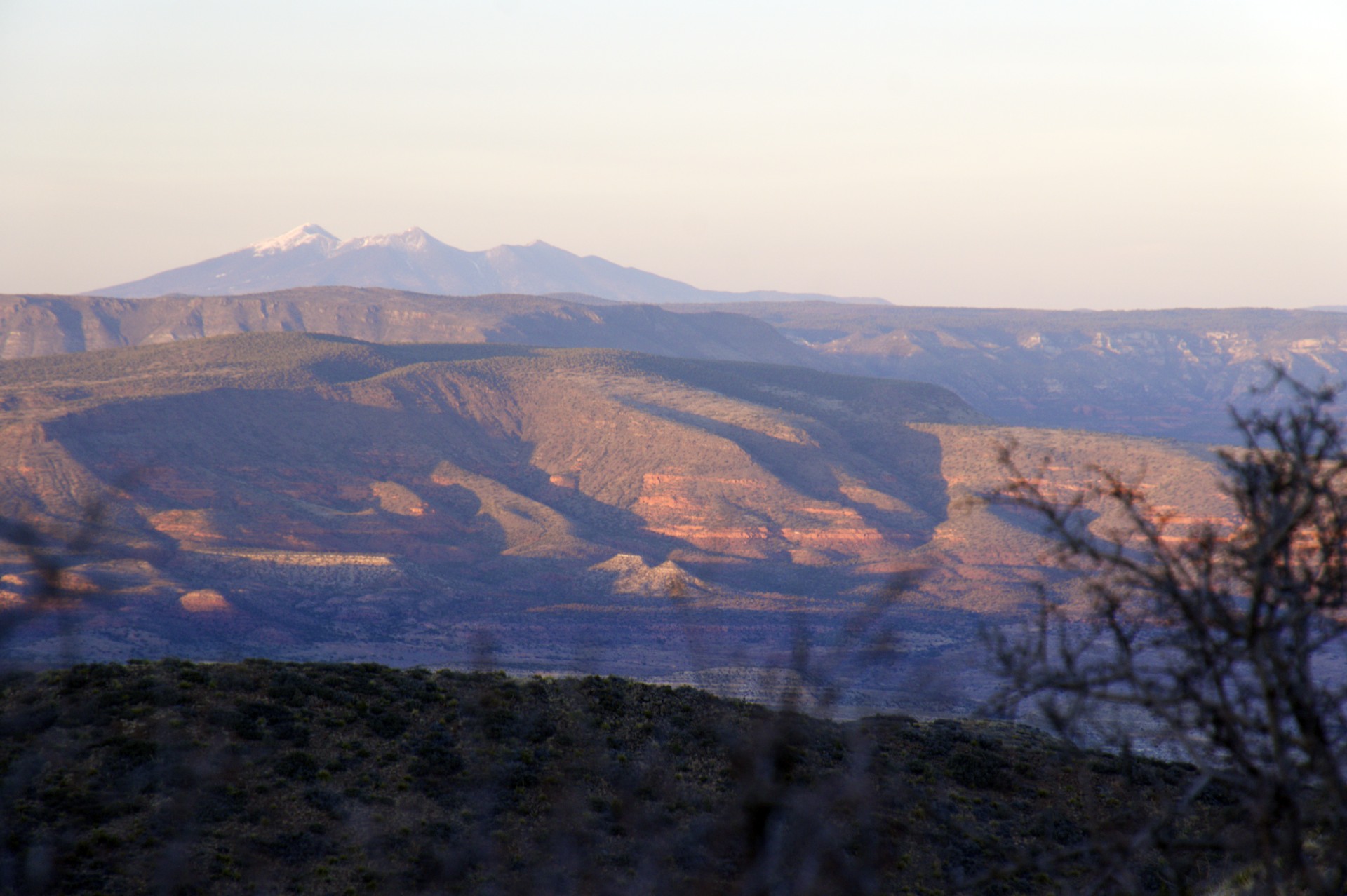
Sedona sits just below the edge of the Colorado Plateau at the mouth of a canyon hacked out of the rim by little Oak Creek. The town itself has a completely overrun touristy feel, the streets lined with the latest in imitation adobe architecture inhabited by restaurants, mystical crystal shops, souvenir stores, and tour operators all sporting suitably southwestern names (Kokopelli this, Cowboy that, or anything sufficiently Spanish sounding). For all the Southwest flair this place tries to have it is a far cry from the real dusty desert towns inhabited primarily by ranchers driving Ford pickups built in the era when vehicles were square. As for me, I skipped all the big town excitement and headed up into Oak Creek Canyon where things were a bit quieter to set up my sleeping bag for the night on yet another US Government picnic table.


- Acadia National Park
- Adirondacks
- Aerial
- Airstream
- Ancient Bristlecone Pines
- Anza-Borrego
- Appalachian Trail
- Arches National Park
- Backpacking
- Bad Larry
- Bears Ears National Monument
- Boatpacking
- Boston
- Bryce Canyon National Park
- Canoeing
- Canyon de Chelly National Park
- Canyoneering
- Canyonlands National Park
- Capitol Reef National Park
- Caribbean
- Catskills
- Cities
- Climbing
- Colorado National Monument
- Colorado Plateau
- Death Valley National Park
- Europe
- Fisher Towers
- Grand Canyon National Park
- Grand Staircase-Escalante National Monument
- Grand Teton National Park
- Gunks
- Hiking
- Iceland
- Joshua Tree National Park
- Lassen Volcanic National Park
- Manzanar National Historic Site
- Mojave Desert
- Mojave National Preserve
- Mountaineering
- Mt Washington
- Mt Whitney
- Natural Bridges National Monument
- New York CIty
- Pacific Northwest
- Petrified Forest National Park
- Pinnacles National Monument
- Red Roamer
- Road Trips
- Rocky Mountains
- Ruins
- Sailing
- San Diego
- San Francisco
- Sequoia National Park
- Sierra Nevada
- Skiing
- Sonora Desert
- Spelunking
- Superbloom
- Superstition Mountains
- White Mountains
- Yellowstone National Park
- Yosemite National Park
- Zion National Park