Chris Roams
Travel, Adventures, and Photography
Top of the Country
June 13, 2012
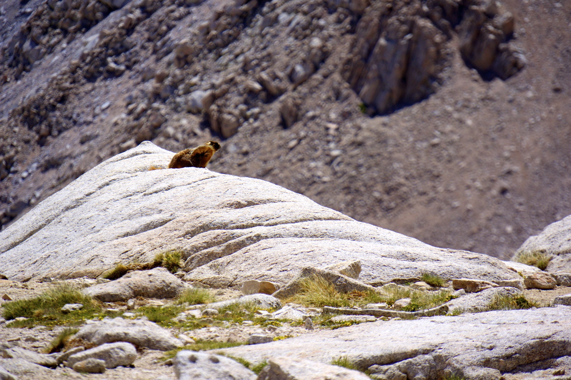
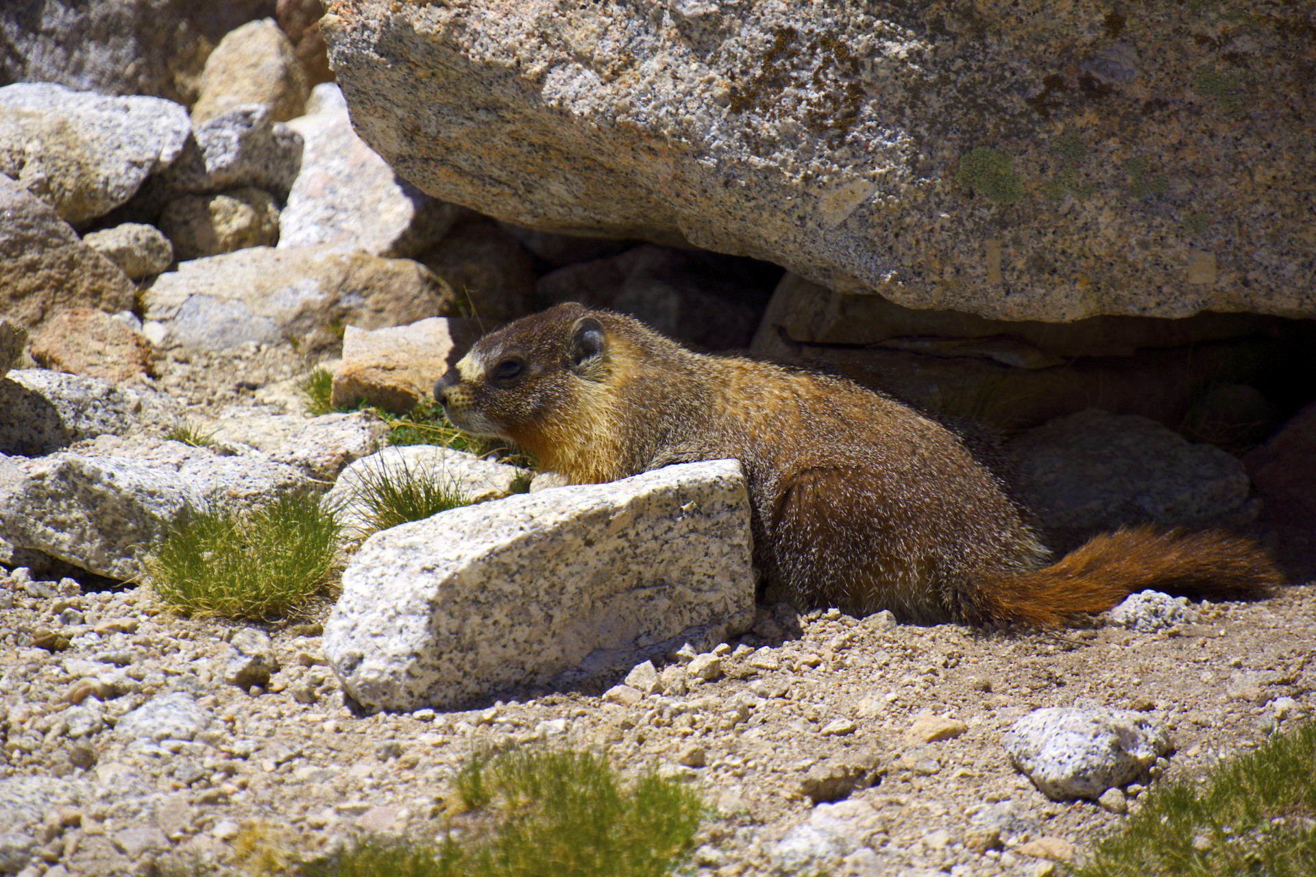
After falling asleep at 12,000' with a terrible headache, one of the signs of altitude sickness, I finally awoke to the sunrise falling on my tent, but didn't get up. I was terrified that any attempt to get up would provoke the return of the headache from the night before and necessitate a retreat to lower elevations, scuttling my attempt on the summit. I had skipped my planned night at 10,000' to come straight up to Trail Camp and I was too exhausted when I arrived to cook dinner so I had an extra day and a half of food remaining, I could afford to spend a day here at trail camp, so I stayed in my sleeping bag, drifting in and out of sleep for what seemed like hours. As the sun got higher it got hotter in the tent, bit by bit I crawled out of my sleeping bag, took off some layers, unzipped the outer door, and eventually even the screen door as the tent baked in the high altitude sun on an exposed barren granite shelf, a far cry from the below-freezing temperatures overnight. Finally the heat was too much to bear, I crawled out of the tent and into the soothing cool alpine breeze. I felt alright, at least as good as can be expected after hiking up to 12,000', but I thought it had to be some time after noon. By the time I filtered water, cooked some food, and re-packed for a summit bid it would be too late to head up so I was stuck here at 12,000' for the day. I dug my watch out of my pack to see what time it really was… 9:15am. I grabbed my water filter, shooed the Marmots away, and headed for the lake. I had to get breakfast cooking in a hurry so I could get started towards the summit.
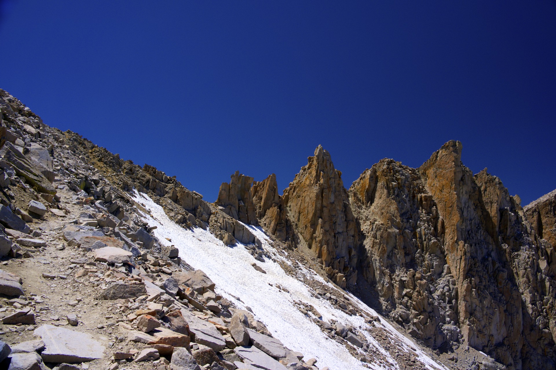
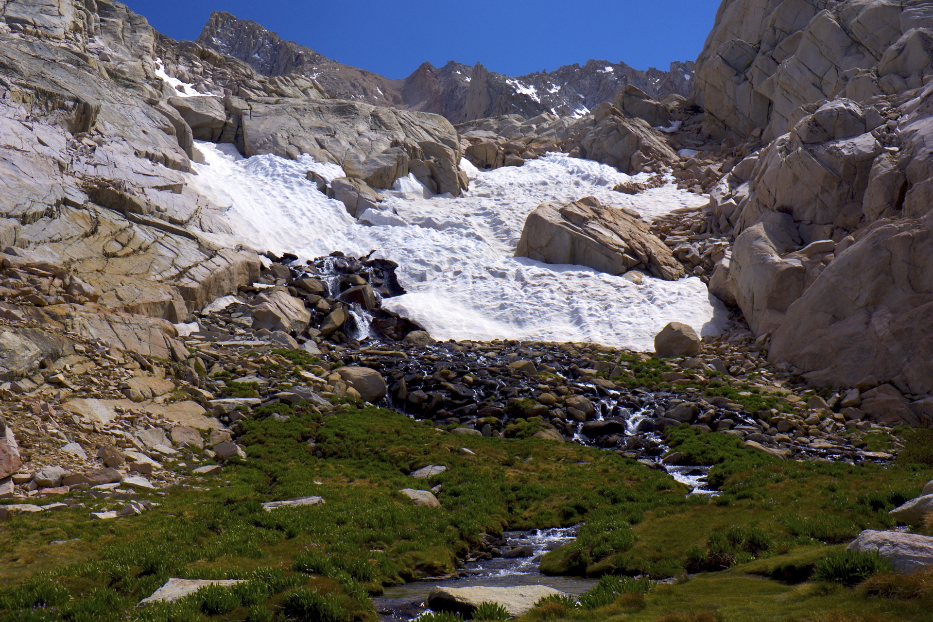
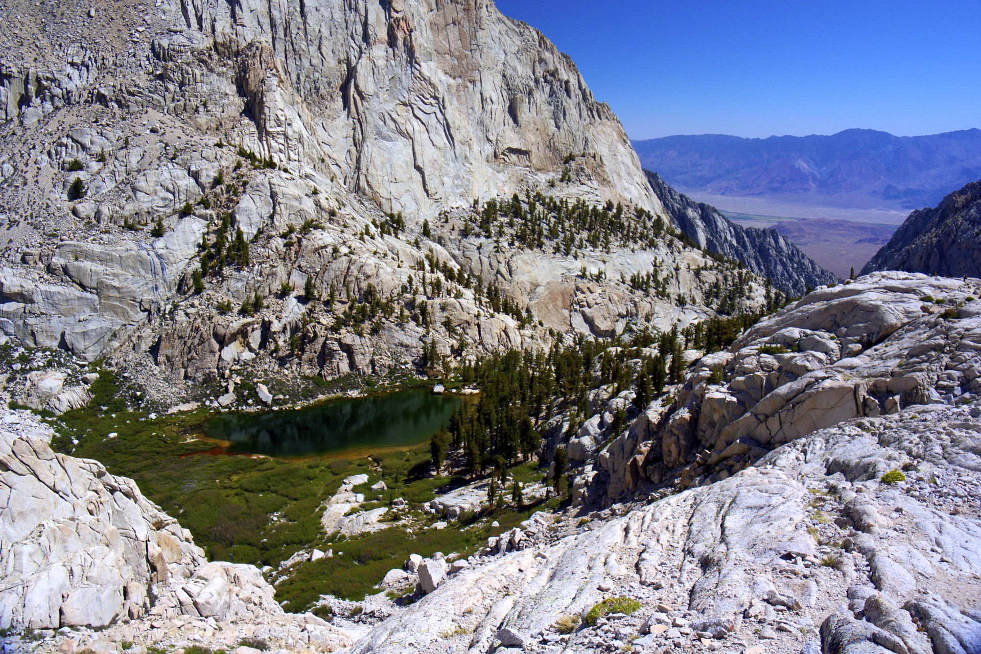
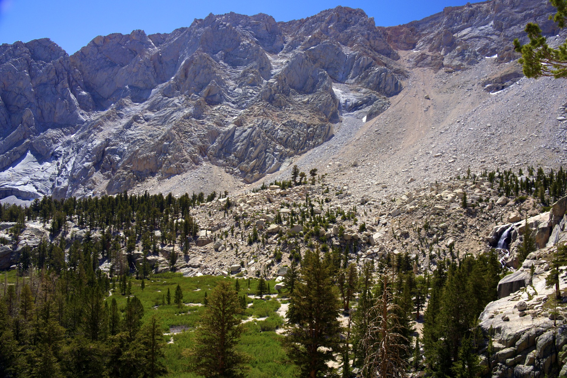
I had been above tree-line since I passed mirror lake and each meadow I passed had been smaller than the last until reaching Trail Camp right at the base of the final climb up to the ridge that Mt Whitney itself is a part of. This is the last reliable source of water with a small tarn just like the ones in the meadows below but this one barely had any plant life to speak of, just a few grassy patches right on the edge of the water. Above this begins the "99 switchbacks" (I didn't count them) twisting up the face of the ridge between glaciers, snowfields, and cliffs along a route designed to be clear of snow for widest possible window each year. Normally it would be impossible to climb the switchbacks this early in the season, instead requiring a climb with crampons and ice axes directly up the gully below the trail. Whitney is such a popular climb that the Forest Service holds a lottery each spring for a limited number of permits, I had requested dates in late August and early September, well after the snow would all be melted but still hopefully before the first snows of the next winter, but had ended up with an entry date of June 11th. Ever since I have been nervously checking up on trail conditions wondering if it would be clear in time to avoid heavy mountaineering gear. Due to the light snow this past winter it was. Only a short cabled section of the switchbacks notorious for late-season snow and ice had any coverage, the rest was just hiking.
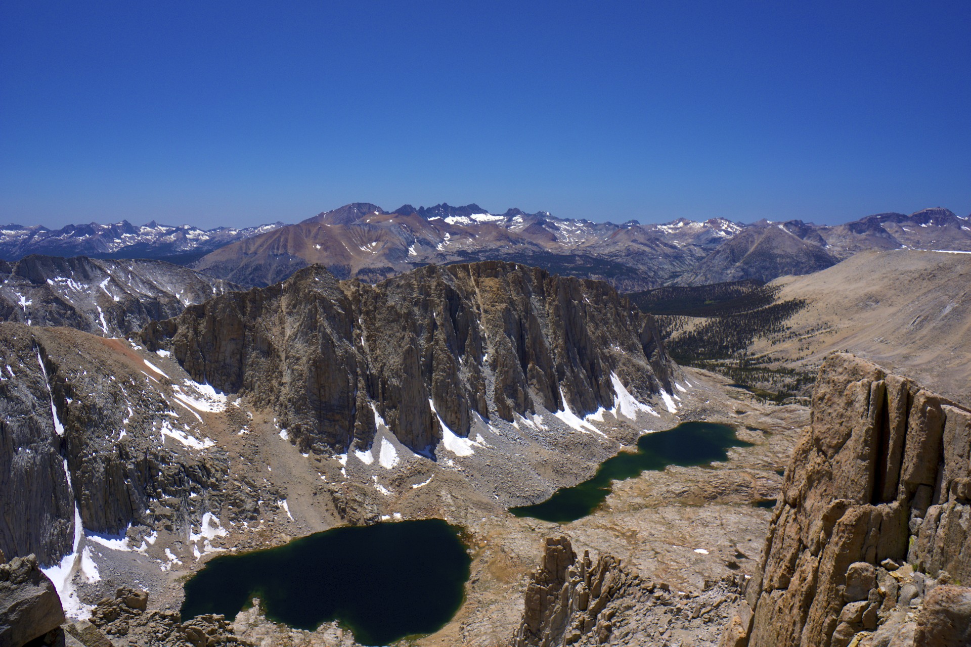
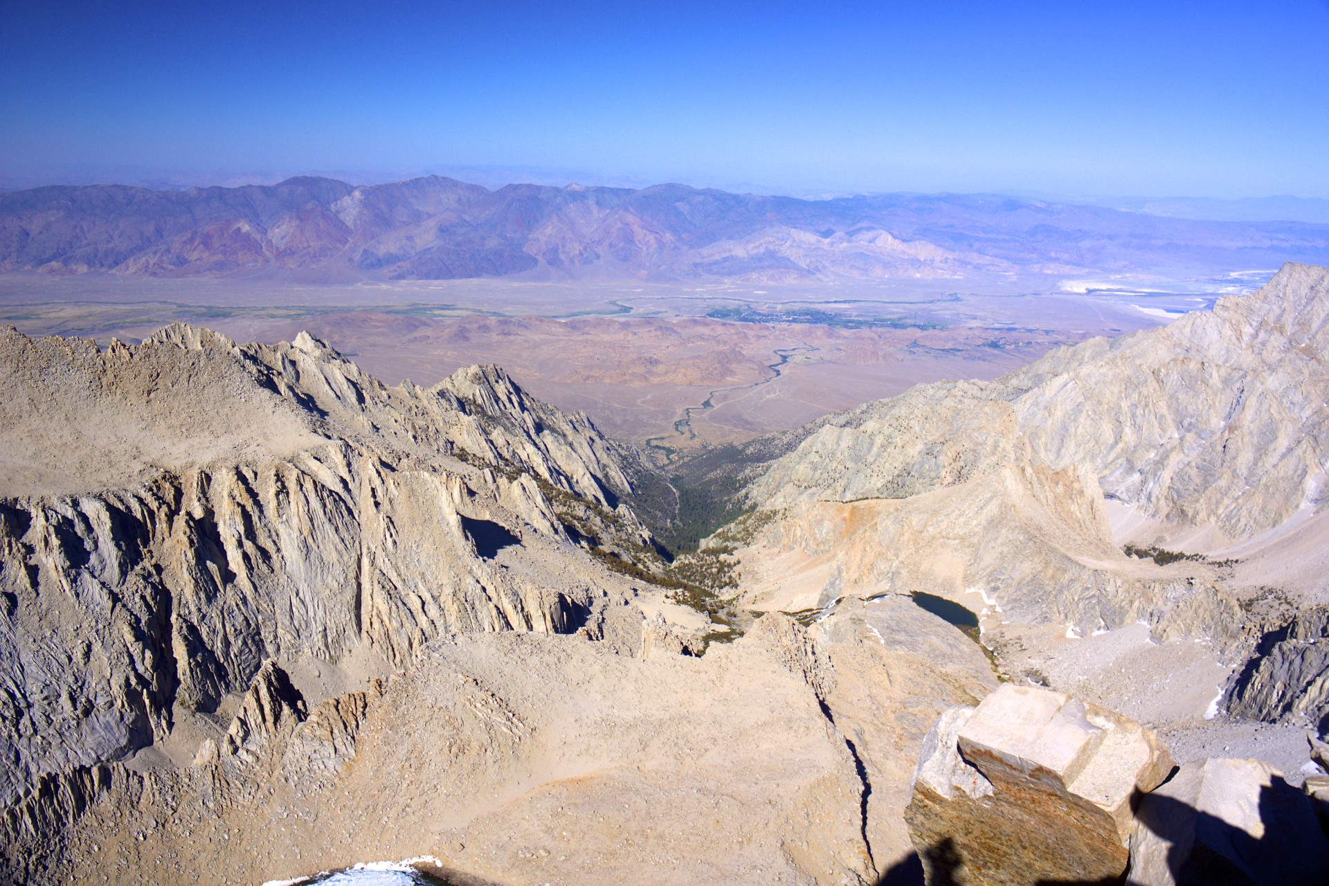
Finally, after switchbacking up the ridge for seemingly forever the trail reaches a notch in the ridge known as Trail Crest. On the east side of this ridge in the rain shadow of the Sierras is nothing but desert. On the west side, which I was glimpsing for the first time as I passed through the notch, is Sequoia National Park and thousands of square miles of High Sierra wilderness. Mountains, meadows, glaciers, lakes, trees, and trails as far as the eye can see. On the west side of the ridge, just below Trail Crest, is a trail junction; From here the High Sierra Trail heads west across this vast wilderness to the nearest road in Sequoia National Park at Crescent Meadows, 60 miles away; the John Muir Trail also branches off here after coming down from Mt Whitney on its way to Yosemite Valley, 210 miles to the north. Coincidentally the Tioga Road into Yosemite is also the first road crossing of the Sierras to the north of Mt Whitney, the closest to the south is Sherman Pass 40 miles to the south. All those distances aside, I still had mile of my own to cover: Trail Crest is 2 miles south of the summit.
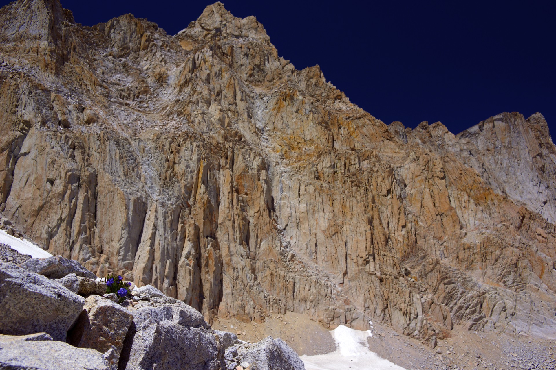
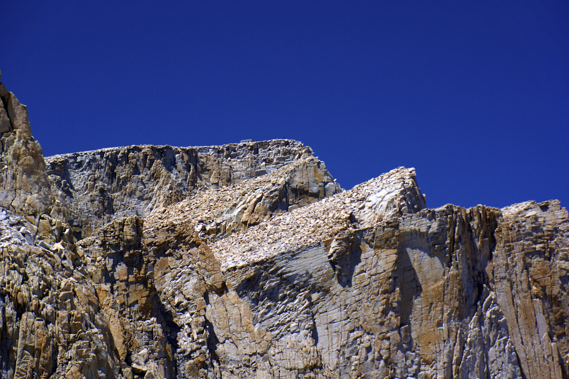
The east face of Whitney and the needles that flank it are brutally steep cliffs. Besides the switchbacks up to Trail Crest a dangerously steep gully just to the north of the peak known as the Mountaineers Route provides another path (it was actually used for the first ascent of Whitney from the east by John Muir himself) and a number of serious rock climbs tackle the mountain's face. The west side of the ridge is of an entirely different character: gentle (at least compared to the east side) slopes of talus ramp down into Crabtree Meadows to the west. Each of the apparently solitary needles viewed from the east are revealed to actually be the sawtooth edges of this enormous slope leading up to Whitney's summit itself. The trail works its way diagonally up the back of this ramp, passing by the narrow windows between each needle, providing a glimpse of the 1,000' drop on the other side. This is representative of the entire Sierra Nevada range, a huge granite block 400 miles long and 40 miles wide uplifted sharply in the east so as to lead up from the gentle foothills in central California to the sharp drop of the Sierra Escarpment, where Mt Whitney is located, watching over the desert beyond.
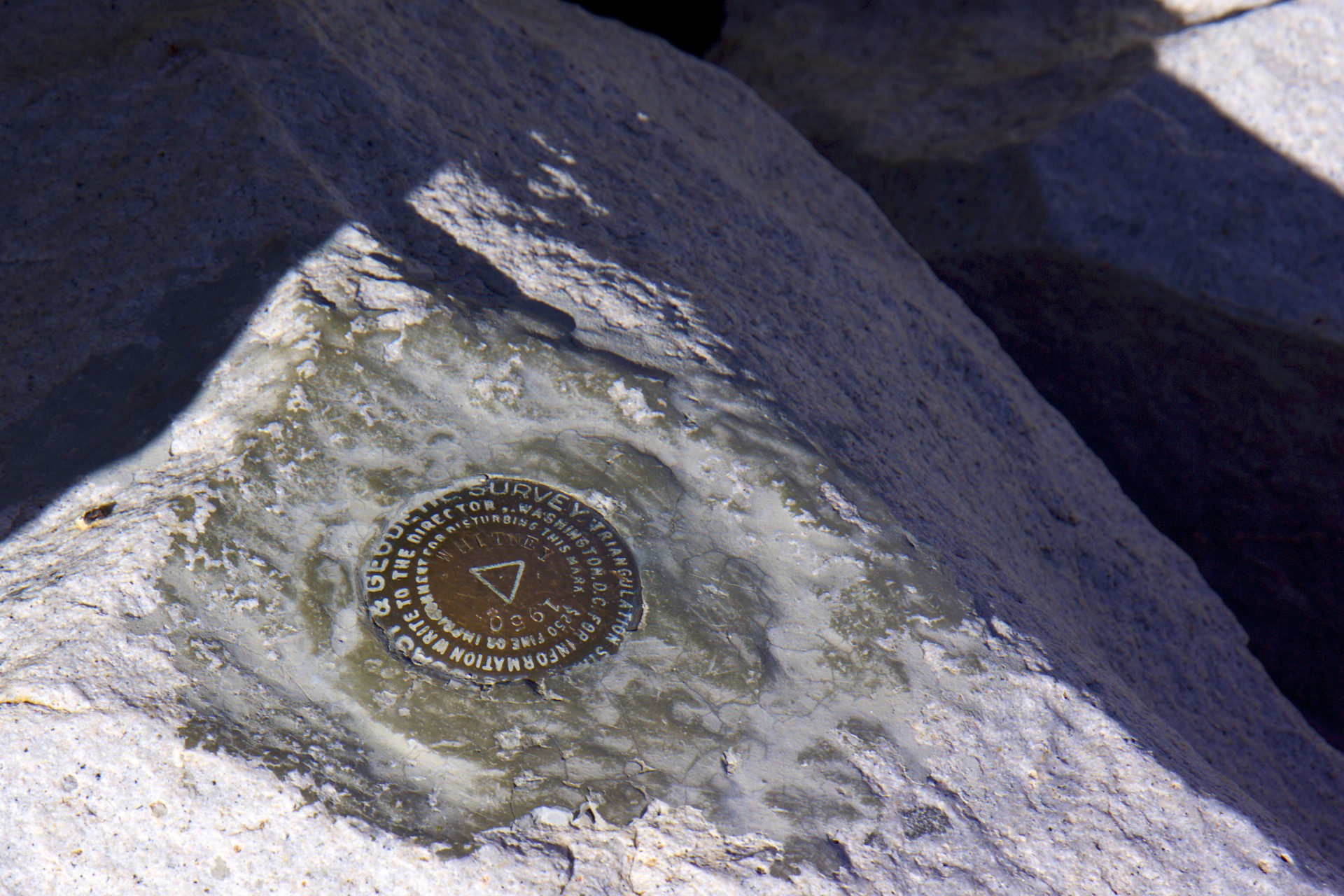
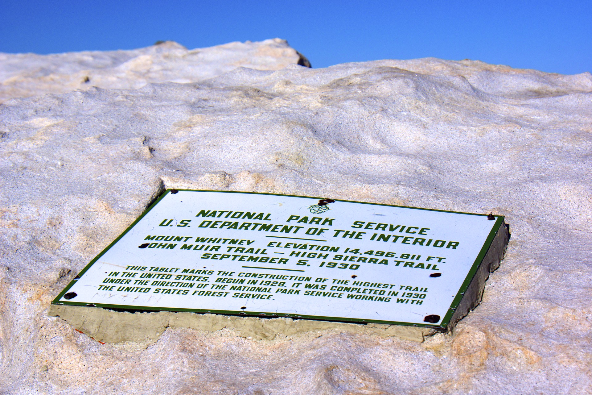
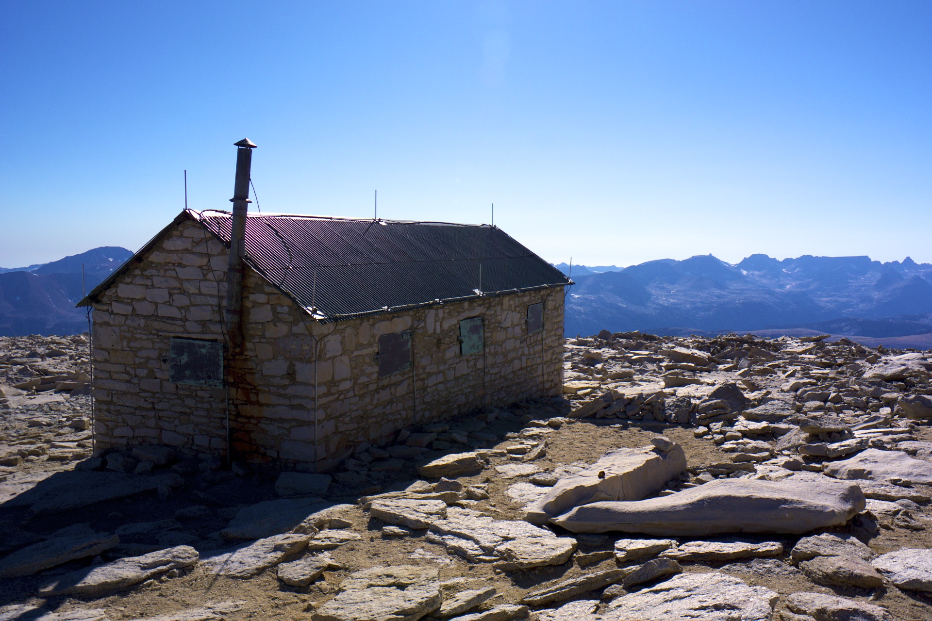
Finally, after crossing one final snow field clinging to the side of the mountain, the summit. A small stone hut with a trail register anchors the scene, built here by the Smithsonian Institution to allow for high altitude research in the days before airplanes could get this high or stay aloft for very long. There is no single prominent granite point but rather a collection of jumbled blocks, any of which could have been the highest point but for the way they fell. Many of the blocks contain survey benchmarks, each with a different date and most without elevations listed. The estimated height of the mountain has varied over the years with the current official height listed as 14,505', you wouldn't know that from the mementos down in the Portal Store though, each of which lists a completely different elevation, some apparently striving to exaggerate the height more than others, perhaps to entice buyers. Regardless of what the t-shirts say the one thing that is for certain is that this is the highest spot in the land.
I had clear blue skies since the start of this trip and summit day was no different. I had expected stronger winds when I crossed the ridge but there was still not much more than an intermittent light breeze. Things were surprisingly calm for such a prominent position. The calm was only broken by the jet fighters that would roar overhead every few minutes, nearly impossible to see as they were long gone by the time the sound reached the observer. I spotted a few of them, a few thousand feet up. Under normal circumstances I would call them "low flying" but that's hard to justify when standing at an elevation halfway to the cruising altitude of a commercial airliner. There isn't much to do on the summit and the sun was getting closer and closer to the western horizon so it was time to head back down.
Even though it was still technically before sunset I was in the shade of the ridge for most of my descent after passing back through Trail Crest. Getting down the trail is usually easier, gravity does all the work and you just have to make sure your speed doesn't get out of control. I threw my fleece on to keep warm and pounded down the trail closer to a warm meal with every step. I made it back to my tent at Trail Camp just as the alpenglow lit up above the Inyo Range across the valley and put some water on to cook dinner. Given my late start I was one of the last on the summit that day but definitely not the last one. I passed a few other parties still climbing up from Trail Crest to the summit and I talked to another party of day hikers on their way down as I passed them on my way down. The day hikers had started from Whitney Portal around 3am that morning and were already exhausted from the 11 mile climb but even though they had summited they were still only half-way: they had to cover the 11 miles back down to the portal. I ate my freeze-dried lasagna as the alpenglow faded and the stars came out, as I ate I watched the day-hikers' headlamps winding down the switchbacks 1/2 mile above camp I pondered who was smarter: those who hike 22 miles in a day so they don't have to carry 33 pounds or those who carry 33 pounds so they don't have to hike 22 miles in a day. I finished my lasagna and zipped my tent shut for the night just as their lights reached the entrance to camp and I knew my answer. I had just eaten a warm meal and was crawling in to bed, it was 9pm and they had 6.8 miles to go.


- Acadia National Park
- Adirondacks
- Aerial
- Airstream
- Ancient Bristlecone Pines
- Anza-Borrego
- Appalachian Trail
- Arches National Park
- Backpacking
- Bad Larry
- Bears Ears National Monument
- Boatpacking
- Boston
- Bryce Canyon National Park
- Canoeing
- Canyon de Chelly National Park
- Canyoneering
- Canyonlands National Park
- Capitol Reef National Park
- Caribbean
- Catskills
- Cities
- Climbing
- Colorado National Monument
- Colorado Plateau
- Death Valley National Park
- Europe
- Fisher Towers
- Grand Canyon National Park
- Grand Staircase-Escalante National Monument
- Grand Teton National Park
- Gunks
- Hiking
- Iceland
- Joshua Tree National Park
- Lassen Volcanic National Park
- Manzanar National Historic Site
- Mojave Desert
- Mojave National Preserve
- Mountaineering
- Mt Washington
- Mt Whitney
- Natural Bridges National Monument
- New York CIty
- Pacific Northwest
- Petrified Forest National Park
- Pinnacles National Monument
- Red Roamer
- Road Trips
- Rocky Mountains
- Ruins
- Sailing
- San Diego
- San Francisco
- Sequoia National Park
- Sierra Nevada
- Skiing
- Sonora Desert
- Spelunking
- Superbloom
- Superstition Mountains
- White Mountains
- Yellowstone National Park
- Yosemite National Park
- Zion National Park