Chris Roams
Travel, Adventures, and Photography
Flyover
April 09, 2012
Since ending my most recent trip in Las Vegas I've spend quite a bit of time on airplanes and interestingly enough the flight paths cross right over the areas that I've been riding and hiking in since November. Traveling on backcountry routes is a far cry from highway travel where you can simply follow the numbered signs without any understanding of the route, the roads and intersections are only intermittently signed and as a result effective navigation requires a good working knowledge of the area and its landmarks. Memorizing the terrain is even more essential on a bike where stopping to check a map is a major hassle and I've spent so much time traveling the obscure corners of this area by bike that I now know the region like the back of my hand.
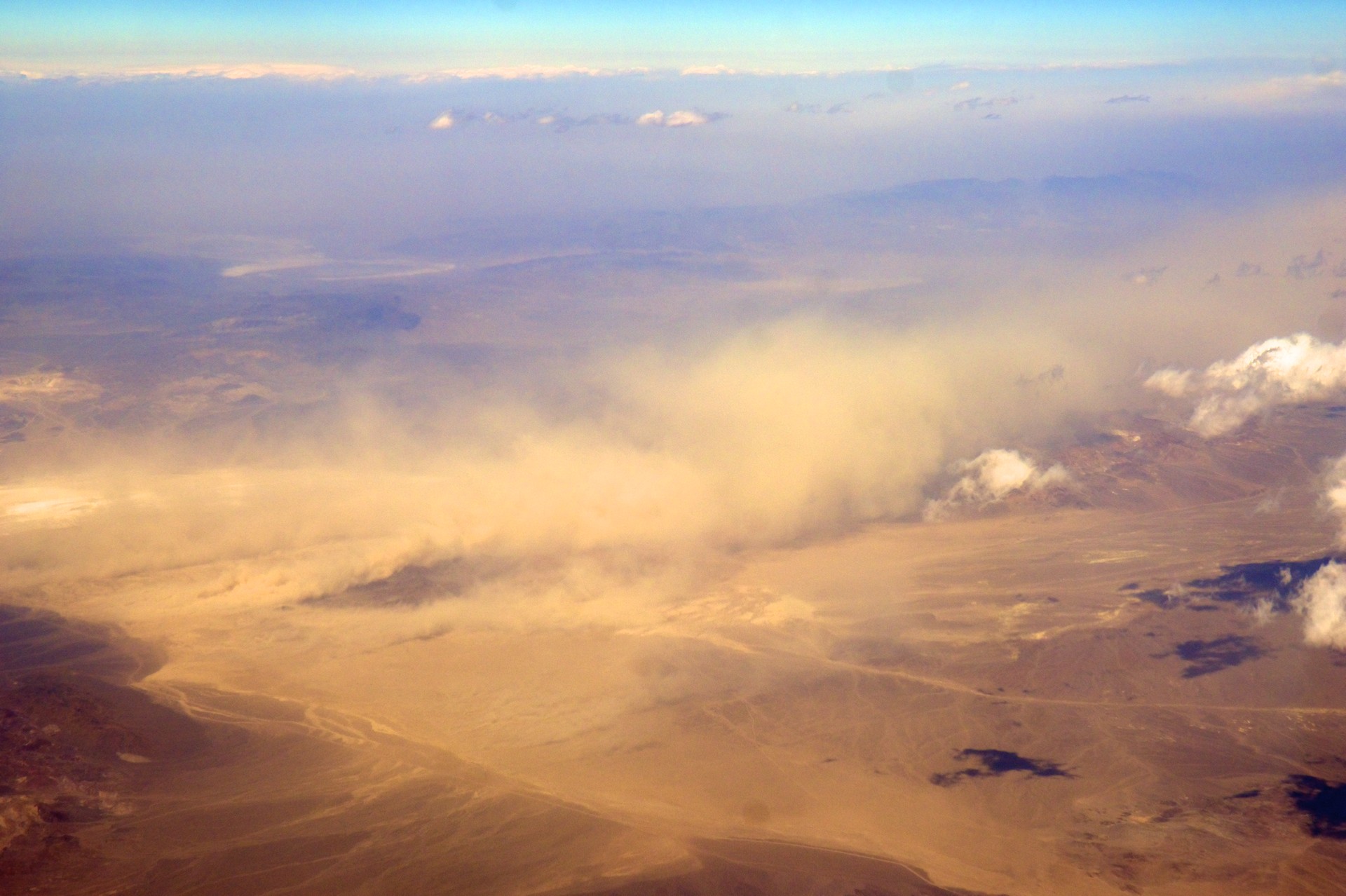
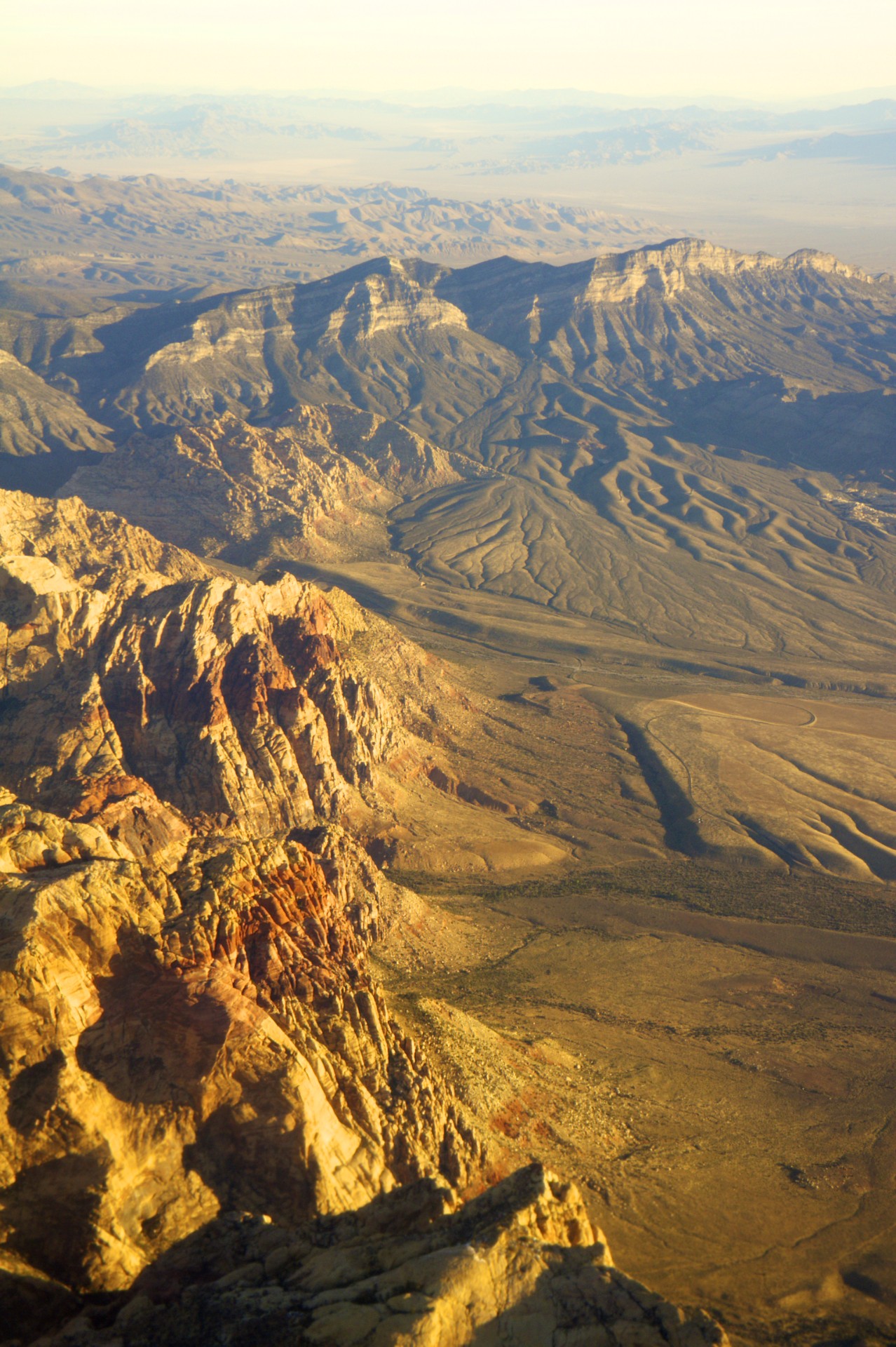
While staring blankly out the window of an airliner heading to San Jose at 30,000 feet I suddenly realized that I recognized the landmarks. Death Valley was below, Telescope Peak just ahead to the left, then Panamint Valley, straight over the mines at Cerro Gordo, Mt Whitney with the Whitney Portal Road snaking up the Sierra Escarpment off to the left, then over the Sierras and into California's central valley. It was like staring out the window at a map that had all the labels wiped off. On the way back early the next morning, now looking out the north side of the plane, directly over Kings Canyon with the first morning light falling on Half Dome far to the north, Mono Lake in the distance, skirting the southern edge of Saline Valley, directly over Beatty and the ghost town of Rhyolite; all places that I had been through on my ride over the Sierras back in December and January.
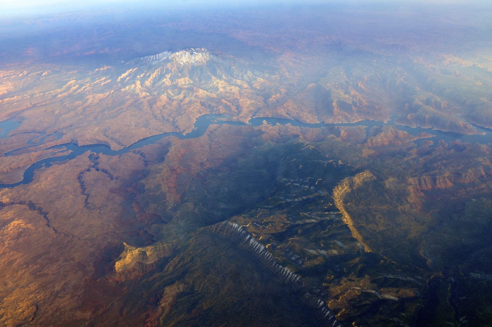
Another flight from Chicago to Las Vegas passed south of Moab, over Natural Bridges National Monument, then the eastern terminus of the Burr Trail at Bullfrog Marina, following the Colorado River across the Escalante with the southern end of Fifty Mile Mountain and the Hole in the Rock plainly visible along with Navajo Mountain on the other side of the lake, The Glen Canyon Dam, House Rock Road where I broke my clutch lever, the power lines whose humming I heard all night, The Wave, over Kanab, the Hurricane Cliffs, over the twisty canyon where the highway follows the Virgin River from Utah into Nevada, my camp sites on the shores of Lake Mead, all the way to landing in Las Vegas. It was like re-living the entire trip at 600 miles an hour.


- Acadia National Park
- Adirondacks
- Aerial
- Airstream
- Ancient Bristlecone Pines
- Anza-Borrego
- Appalachian Trail
- Arches National Park
- Backpacking
- Bad Larry
- Bears Ears National Monument
- Boatpacking
- Boston
- Bryce Canyon National Park
- Canoeing
- Canyon de Chelly National Park
- Canyoneering
- Canyonlands National Park
- Capitol Reef National Park
- Caribbean
- Catskills
- Cities
- Climbing
- Colorado National Monument
- Colorado Plateau
- Death Valley National Park
- Europe
- Fisher Towers
- Grand Canyon National Park
- Grand Staircase-Escalante National Monument
- Grand Teton National Park
- Gunks
- Hiking
- Iceland
- Joshua Tree National Park
- Lassen Volcanic National Park
- Manzanar National Historic Site
- Mojave Desert
- Mojave National Preserve
- Mountaineering
- Mt Washington
- Mt Whitney
- Natural Bridges National Monument
- New York CIty
- Pacific Northwest
- Petrified Forest National Park
- Pinnacles National Monument
- Red Roamer
- Road Trips
- Rocky Mountains
- Ruins
- Sailing
- San Diego
- San Francisco
- Sequoia National Park
- Sierra Nevada
- Skiing
- Sonora Desert
- Spelunking
- Superbloom
- Superstition Mountains
- White Mountains
- Yellowstone National Park
- Yosemite National Park
- Zion National Park