Chris Roams
Travel, Adventures, and Photography
Up a Creek
March 04, 2012
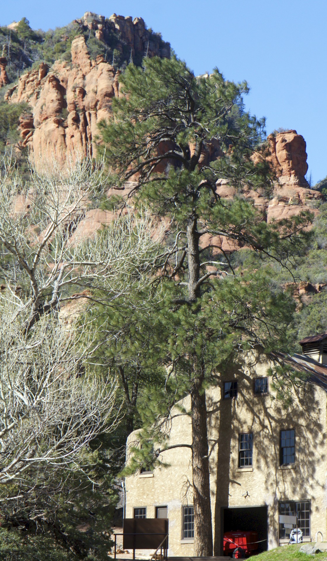
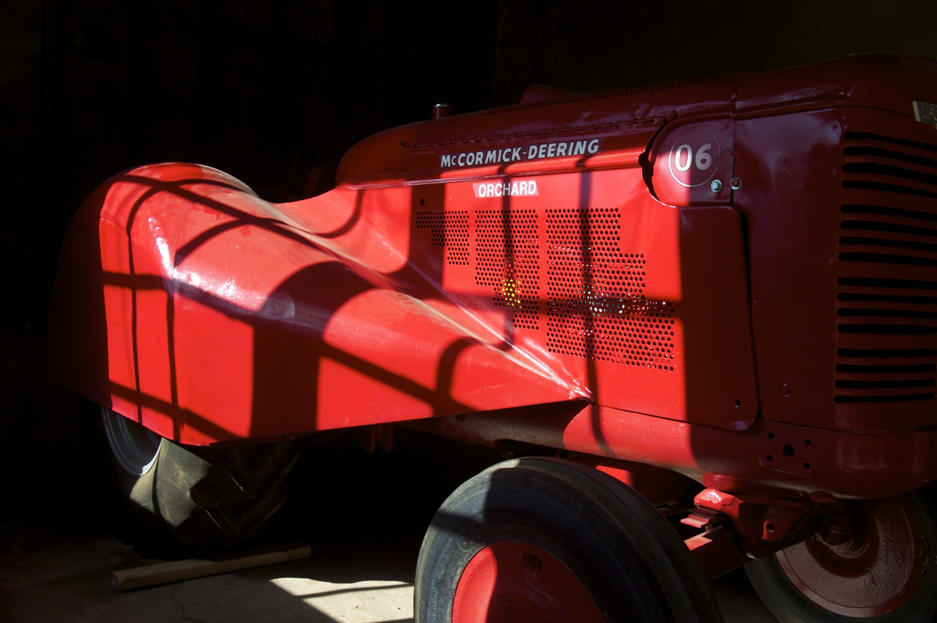
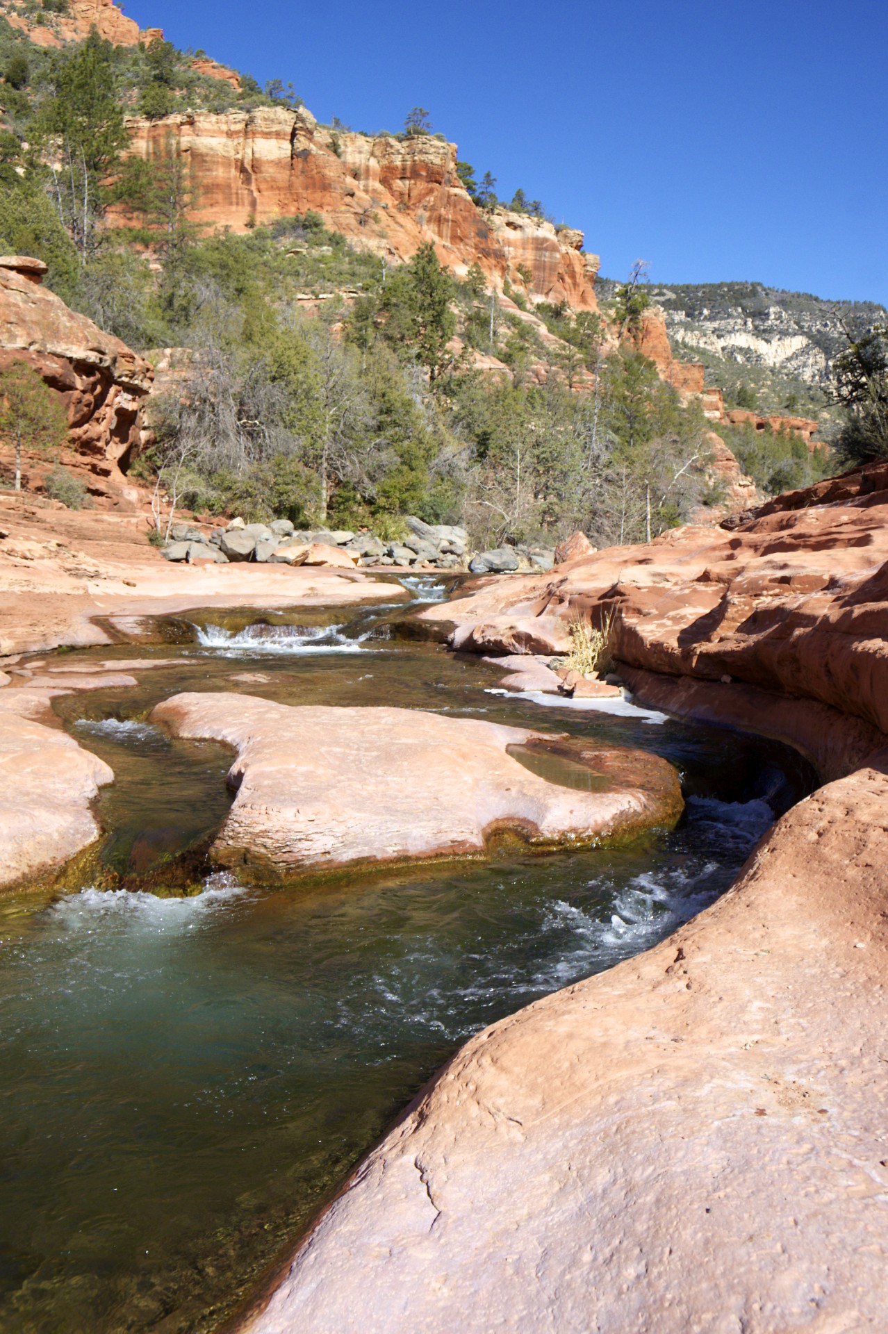
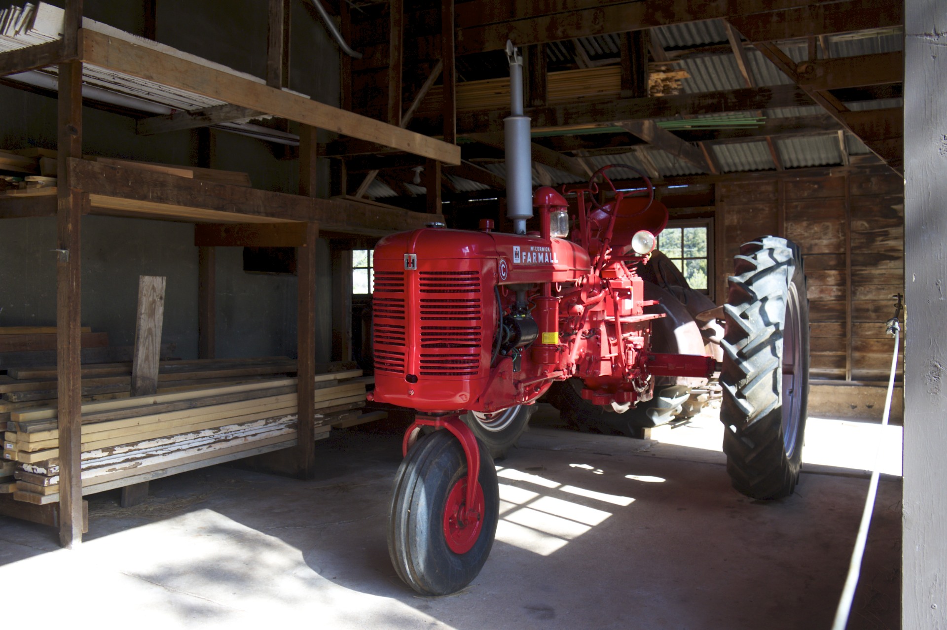
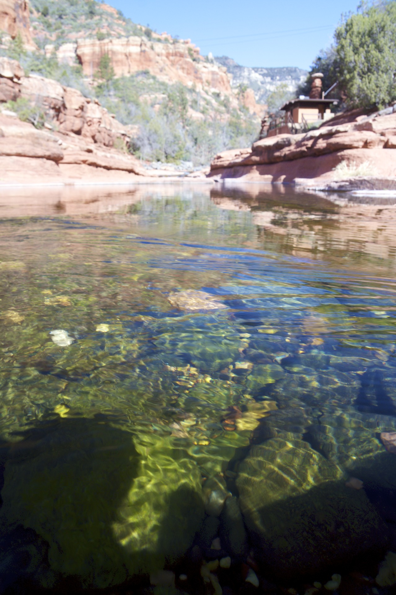
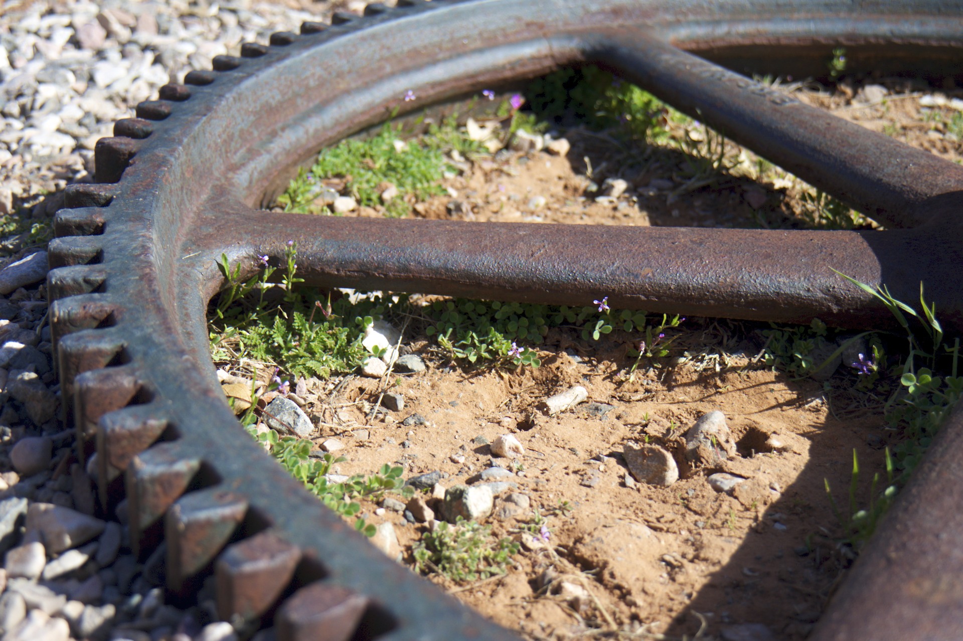
The town of Sedona mostly ends at the mouth of Oak Creek Canyon with only a few scattered inns and some Forest Service campgrounds (all but one closed for the winter) inside the canyon itself. One of the highlights is an old orchard, now a state park, built on a small terrace of land between the creek and the surrounding canyon walls. Although the orchard is right along the banks of the creek the water flows in a natural stone trough some 20 feet below the surrounding terrace and in the days before electricity came here getting that water up to the groves of apple trees was a necessary concern. It order to irrigate the trees the original settlers built an aqueduct, small cross-section but over a mile long, to a point in the creek higher than the orchard itself. Due to the surrounding cliffs that in some places come right up to the edge of the creek it was necessary to hang long sections of the aqueduct directly from the cliff face high above the creek or to bore through the sandstone itself to make a conduit. Old machinery from the heyday of the orchard are scattered around the property and some of the old trees still stand.
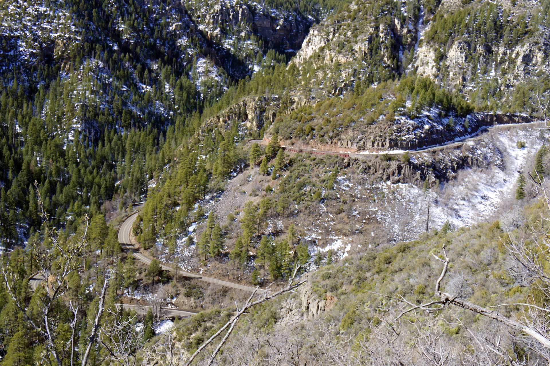
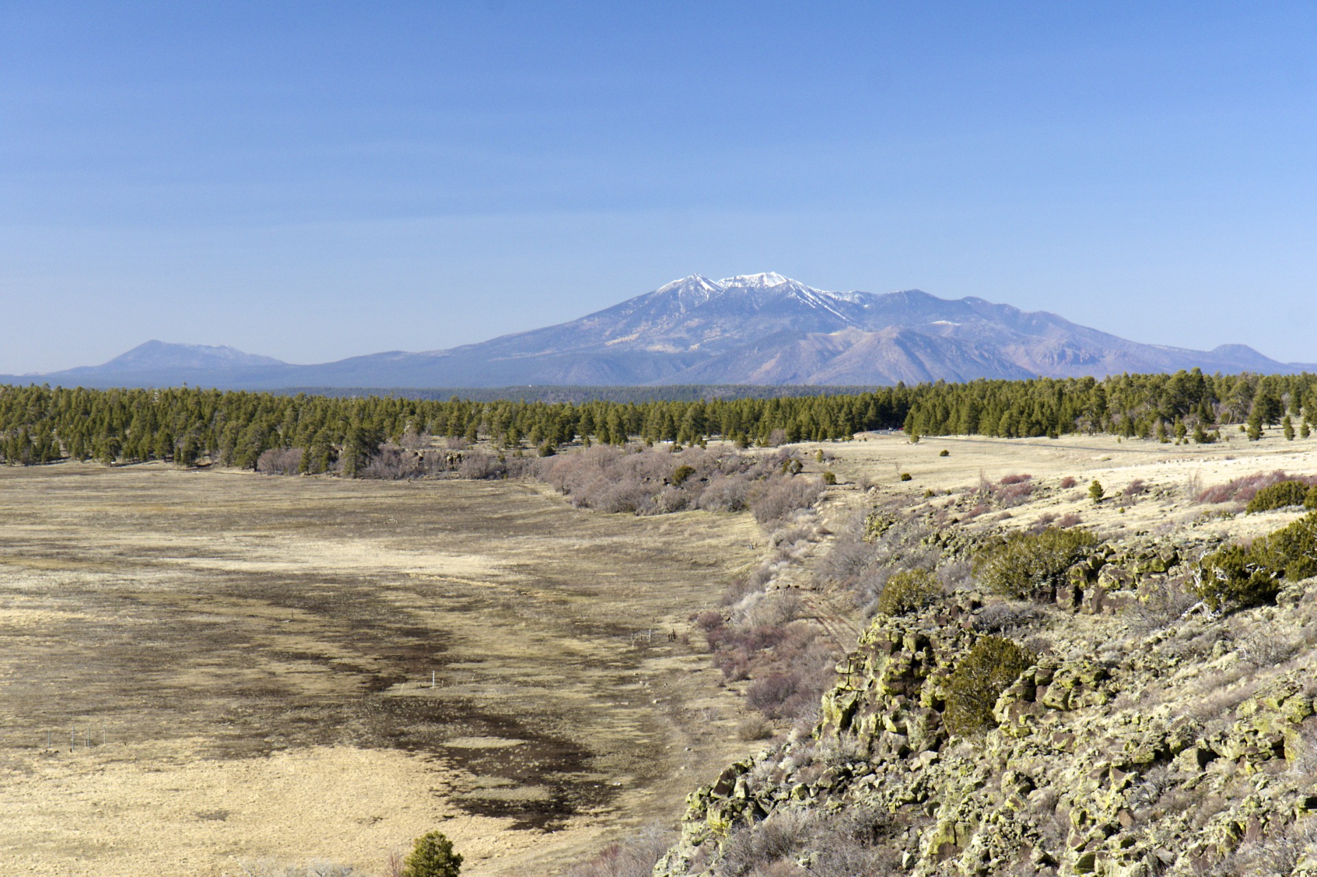
The road through the canyon eventually reaches the headwall and winds its way up a series of switchbacks to the top of the Colorado Plateau and from there directly north to Flagstaff. Built along one of the first railroads to cross the continent (still in heavy use), the former Route 66, and the relatively newer Interstate 40, Flagstaff is the only major city on Arizona's section of the Colorado Plateau. Usually the thought of Arizona conjures up thoughts of the hot and dry sandy deserts of the Sonora sprinkled with Saguaro and scorpions but Flagstaff sits a mile above sea level and receives an average of over 100 inches of snow every year. The San Francisco Peaks, including Arizona's tallest: Humphrey's Peak, reach up over 12,000 feet in elevation just to the north of town offering the opportunity for skiing in Arizona Snow Bowl. Beyond the peaks lies the South Rim of the Grand Canyon, blocking access to the rest of the Colorado Plateau. Unfortunately most of the roads around the peaks are still closed for the winter, either choked with heavy snow or flooded with meltwater and mud. A quick run up the paved road to the Snow Bowl was the only option to see the peaks as even the trail to the summit would require mountaineering gear this time of year.
Southeast of Flagstaff lies a vast forested plain dotted with lakes eventually leading up to the Mogollon Rim, the name for this particular edge of the Colorado Plateau. This area was recently ravaged by a tremendous forest fire but little obvious evidence can be seen from the main road, one of very few that cross the rim. Many other small forest roads criss-cross the area both above and below the rim but are also unfortunately closed during the winter. Unlike the rest of Arizona further to the south the elevation here makes this a place much more suitable for summer exploration than winter or spring. Dropping down off the Mogollon Rim leads to a series of mountain ranges, rivers, and reservoirs to the east of Phoenix.
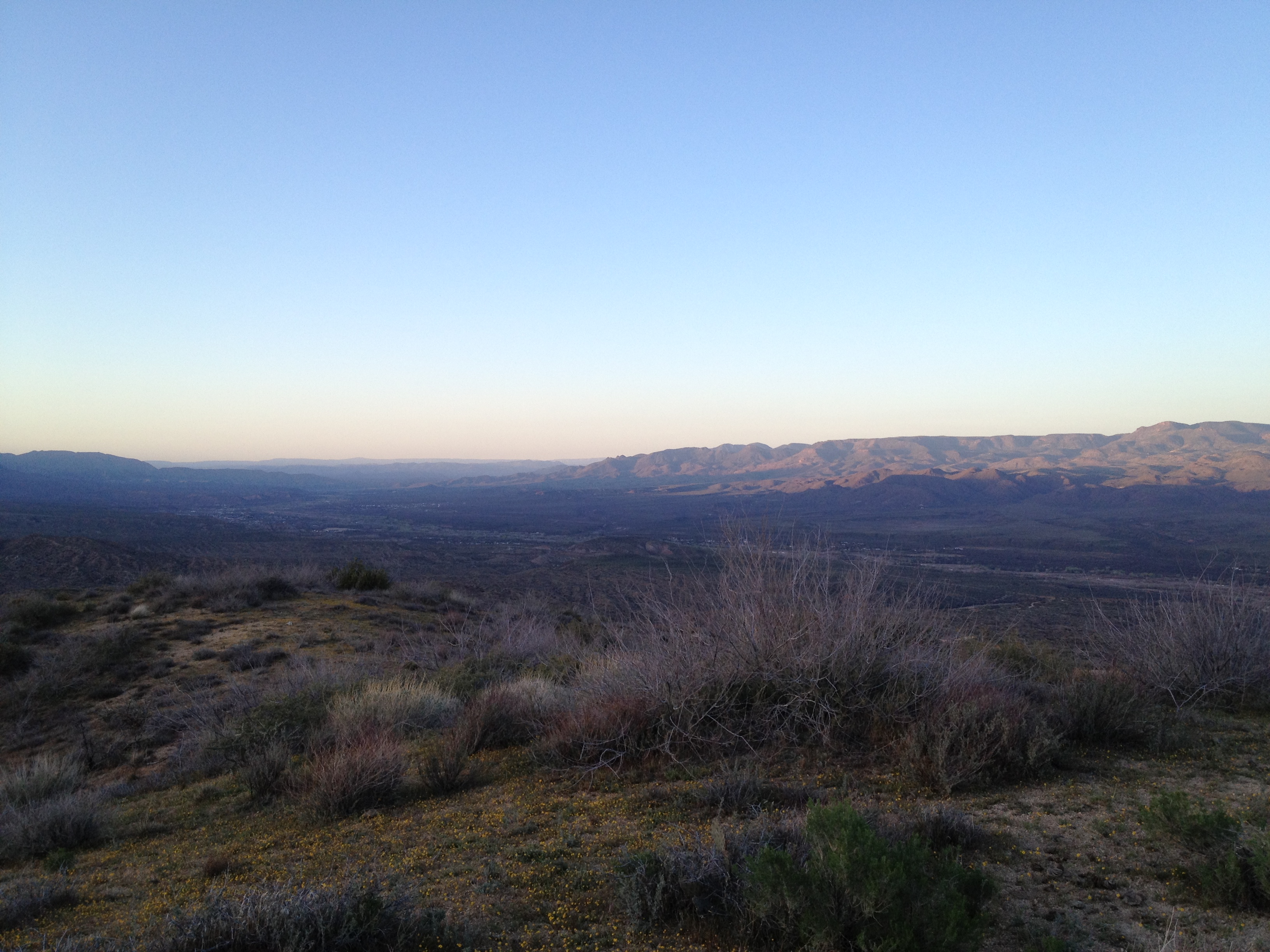
After a long day of riding the sun was on its way down so I took a turn onto a convenient dirt road along a ridge to catch a sunset (it turned out to be a dud) and was reminded of the warmer temperatures and available water by an number of unwelcome guests that I haven't had to worry about since starting out here in November: mosquitos. As night fell it was time to make a run towards Phoenix itself to pick up some maps and resupply. Checking a map on a bike is inconvenient at best, the map has to be stored somewhere, gloves usually have to come off, and if it's windy it is a constant struggle to hold it still. While I've never had a car with GPS I'm forced to rely very heavily on a small one strapped to my handlebars on the bike, unfortunately sometimes it can be trusted and sometimes it picks the most convoluted paths to a destination. One learns quickly that when the map, road signs, and the GPS disagree it's usually a better bet to go with the map and road signs. This was not one of those times. Sitting at a lonely intersection at the head of a reservoir trying to get to Apache Junction on the eastern outskirts of Phoenix only a few dozen miles to the west the GPS is calling for an 80+ mile trip far to the south while a road sign and the map show a direct 26 mile route west along the chain or reservoirs. Barely a mile into the direct route and the reason becomes clear: twisty gravel on a cliff over the edge of the reservoir. Fun in daytime, not so much at night. A quick about-face and on to the 80 mile detour.


- Acadia National Park
- Adirondacks
- Aerial
- Airstream
- Ancient Bristlecone Pines
- Anza-Borrego
- Appalachian Trail
- Arches National Park
- Backpacking
- Bad Larry
- Bears Ears National Monument
- Boatpacking
- Boston
- Bryce Canyon National Park
- Canoeing
- Canyon de Chelly National Park
- Canyoneering
- Canyonlands National Park
- Capitol Reef National Park
- Caribbean
- Catskills
- Cities
- Climbing
- Colorado National Monument
- Colorado Plateau
- Death Valley National Park
- Europe
- Fisher Towers
- Grand Canyon National Park
- Grand Staircase-Escalante National Monument
- Grand Teton National Park
- Gunks
- Hiking
- Iceland
- Joshua Tree National Park
- Lassen Volcanic National Park
- Manzanar National Historic Site
- Mojave Desert
- Mojave National Preserve
- Mountaineering
- Mt Washington
- Mt Whitney
- Natural Bridges National Monument
- New York CIty
- Pacific Northwest
- Petrified Forest National Park
- Pinnacles National Monument
- Red Roamer
- Road Trips
- Rocky Mountains
- Ruins
- Sailing
- San Diego
- San Francisco
- Sequoia National Park
- Sierra Nevada
- Skiing
- Sonora Desert
- Spelunking
- Superbloom
- Superstition Mountains
- White Mountains
- Yellowstone National Park
- Yosemite National Park
- Zion National Park