Chris Roams
Travel, Adventures, and Photography
Low Point
December 31, 2011
Death Valley: the name would be over-the-top comedic rather than intimidating if it wasn’t for the fact that this is the hottest (record high: 134 degrees), driest (1.5 inches of rain per year), and lowest (282 feet below sea level) place on the continent. To the uninitiated it would seem that such a place would be a boring scorched lifeless wasteland but this is far from the truth.
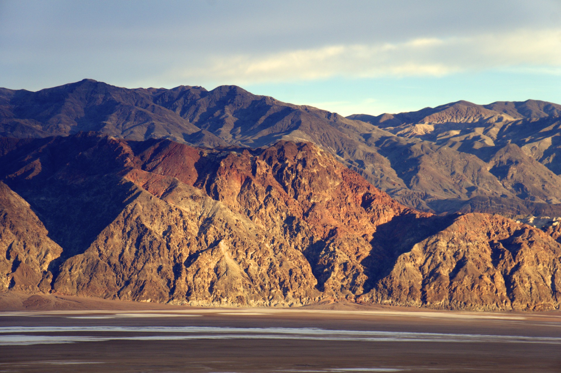
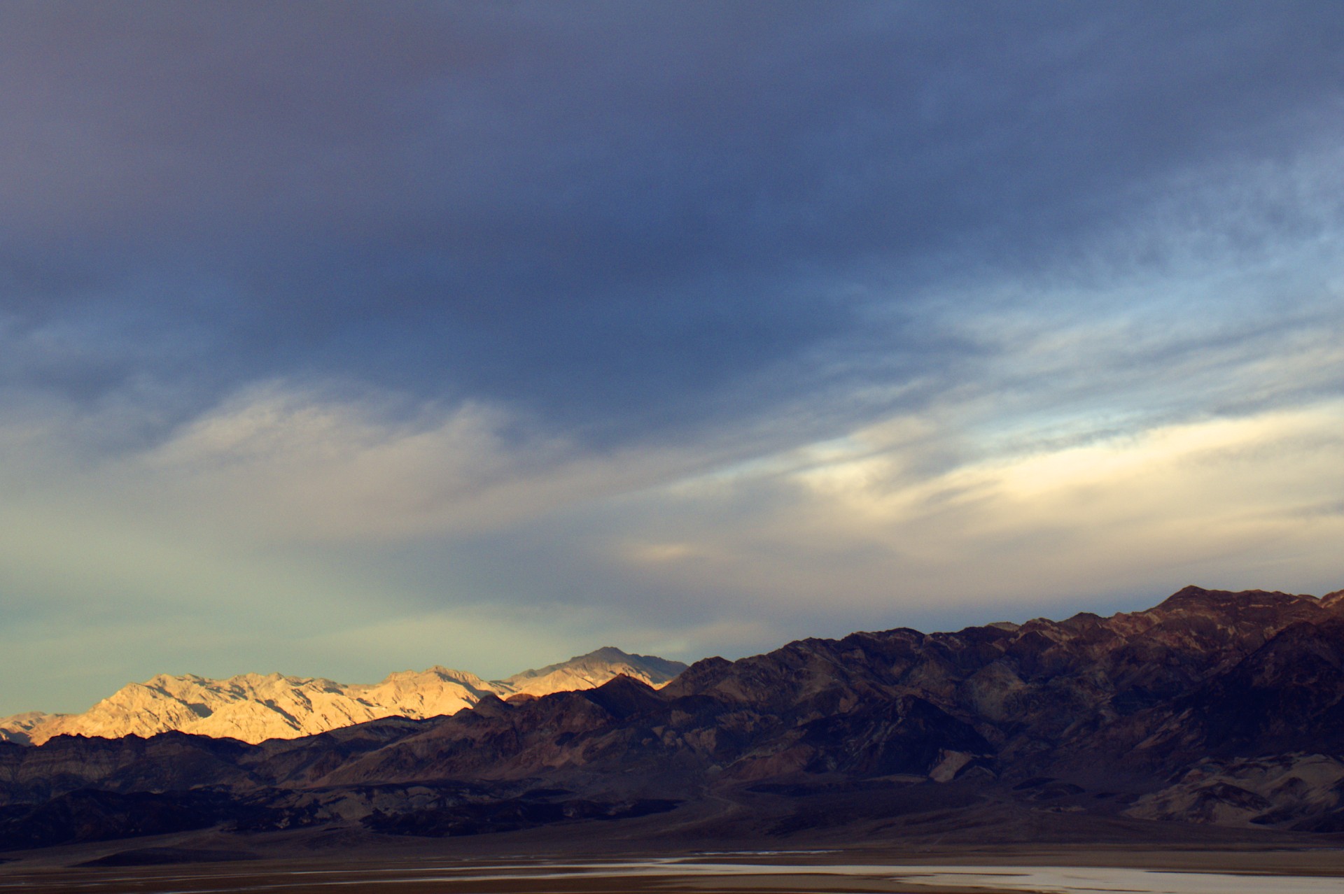
Death Valley itself is long and narrow running north to south about 140 miles penned in between the Amaragosa Range (topping out at 8,738 feet) to the east and Panamint Range (even higher at 11,049 feet) to the west. The valley floor is only about 5 miles across at Badwater, its lowest point. The National Park encompasses all of Death Valley plus all or part of its neighbors including Panamint Valley on the west side of the Panamint Range and Saline Valley to the north of Panamint Valley with a total area roughly the size of the state of Connecticut.
Technically the valley is the course of the Amargosa River which rises just east of the Valley on the other side of the Amaragosa Range, after passing south of the range the river turns north and terminates in “Lake Badwater” at the bottom of the valley. “Rises” and “Lake” don’t accurately describe this waterway, most of which runs underground. Only during the rare rainstorms does it appear on the surface. Just as with any river that doesn’t reach the ocean, salts and other minerals dissolved out of the mountains that the river drains are deposited at its terminus as the water evaporates leaving a broad salt pan at Badwater. A spring at the eastern edge of the basin feeds a small pond full of very salty “bad water”. Various other less-salty springs also exist around the valley, some support current human activity (such as Furnace Creek where a resort, the Timbisha Shoshone tribe, and the park’s visitor center is located) while others were used during the valley’s earlier mining days. Each of these springs is surrounded by a miniature oasis of life in stark contrast to the dry salt, sand, and rocks of the rest of the valley.
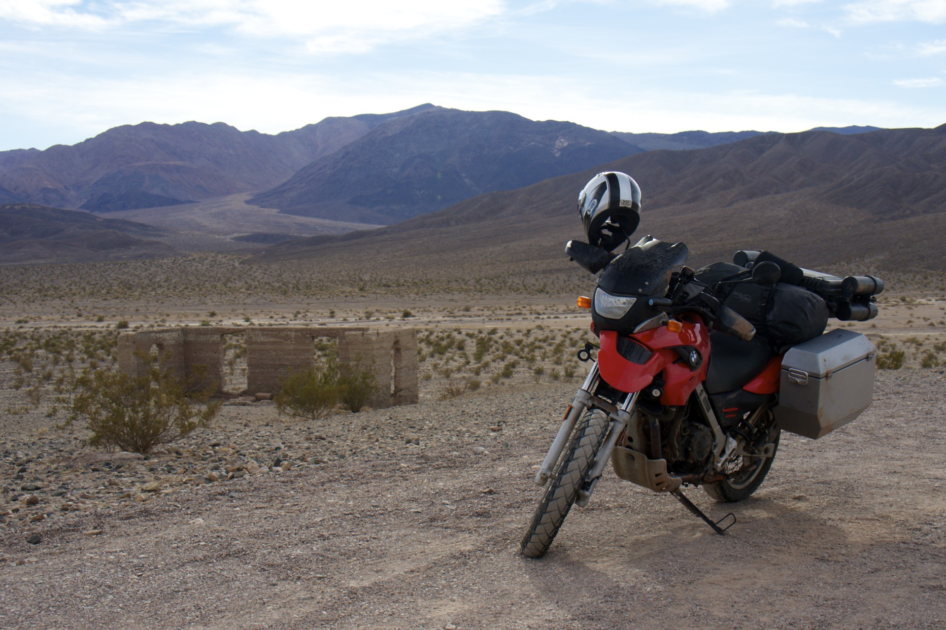
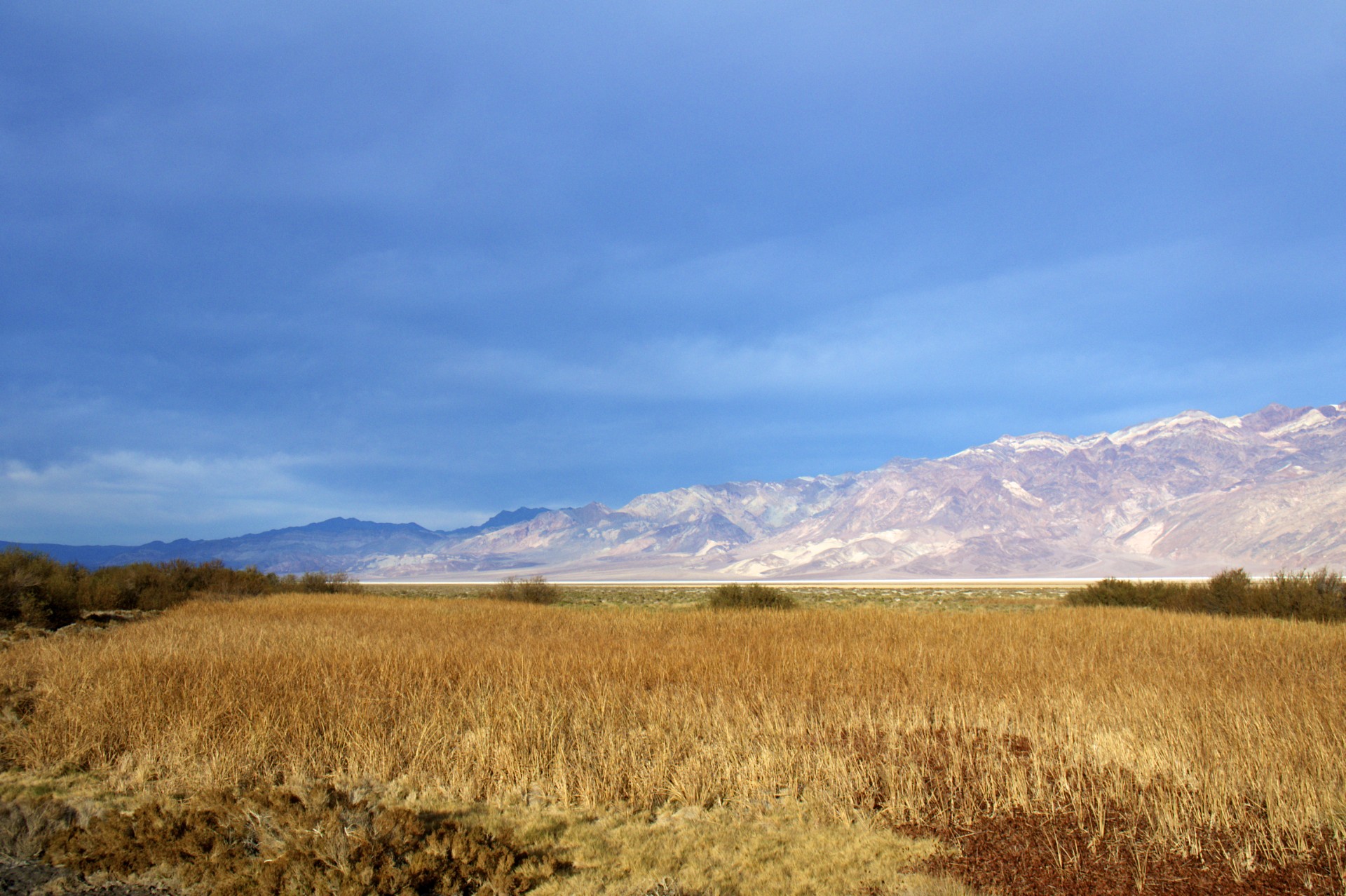
The main paved road into the park from the south runs up the east side of the valley with the obligatory parking area and “Lowest Elevation” sign at Badwater. What most of the tourists don’t realize however is that the spring is a few feet above the lowest spot, which is a few miles to the west. A brutal sandy washboard road splits off at the southern end of the valley to run up the west side at the foot of the Panamint Range, rejoining the paved road just before Furnace Creek. This road reveals both literally and figuratively a different side of Death Valley: Grassy meadows surround a spring at the side of the old Eagle Borax Works, very close to the actual lowest point of the valley, while broad fans of eroded material spew out across the valley floor from canyons that wind their way into the side of the Panamints. These alluvial fans provide quick, albeit rocky, access high up the side of the mountains and into the canyons where cooler temperatures and more hidden springs await.
After spending so much time in southern Utah where winter is the “off” season it was odd coming into Furnace Creek where things are very much in full swing. Death Valley and its neighboring valleys are home to a number of resorts that sprung up after the mining boom including Furnace Creek, Stovepipe Wells, and Panamint Springs. Each follows roughly the same format of an entirely self-contained resort with one or more hotels, restaurants, saloons, and other attractions (such as the Furnace Creek Golf Course, lowest in the world and host to the “Heatstroke Open” tournament every summer). Most of the facilities aren’t even open in the summer due to the extreme heat but this time of year they are flocked with tourists. After weeks of having entire campgrounds to myself I was dismayed to discover that the campground at Furnace Creek (by far the largest and most popular of the resorts) was full and I moved on up the road to the campground at Stovepipe Wells.
Unfortunately National Park campgrounds aren’t really too much to get excited over, especially for the tent camper. Most don’t have separate tent and RV areas which leaves tent campers surrounded by RVs with their droning generators and exhaust fumes. The spots themselves seem to be designed more for the Winnebago crowd with each site consisting of a large expanse of gravel with a fire ring, a picnic table, and a few rocks and bushes around the edges to delineate each site and provide decoration; perfect for parking an enormous RV but torture for the floor of a tent (I brought an old tent with me just for this reason, the floor is now thoroughly perforated), what I would give for a few square feet of good old dirt at the back of each site. Stovepipe Wells was both better and worse than the standard NPS campsite: In this campground even the formalities of fire rings, picnic tables, rocks, and bushes were done away with leaving what is essentially a vast dirt parking lot; fortunately there were designated tent sites along the far edge of the grounds offering a chance to set up on real dirt (I don’t know why they don’t do this at all NPS campgrounds); unfortunately after paying for a site and doing a lap of the campground I realized that all the tent sites were full.
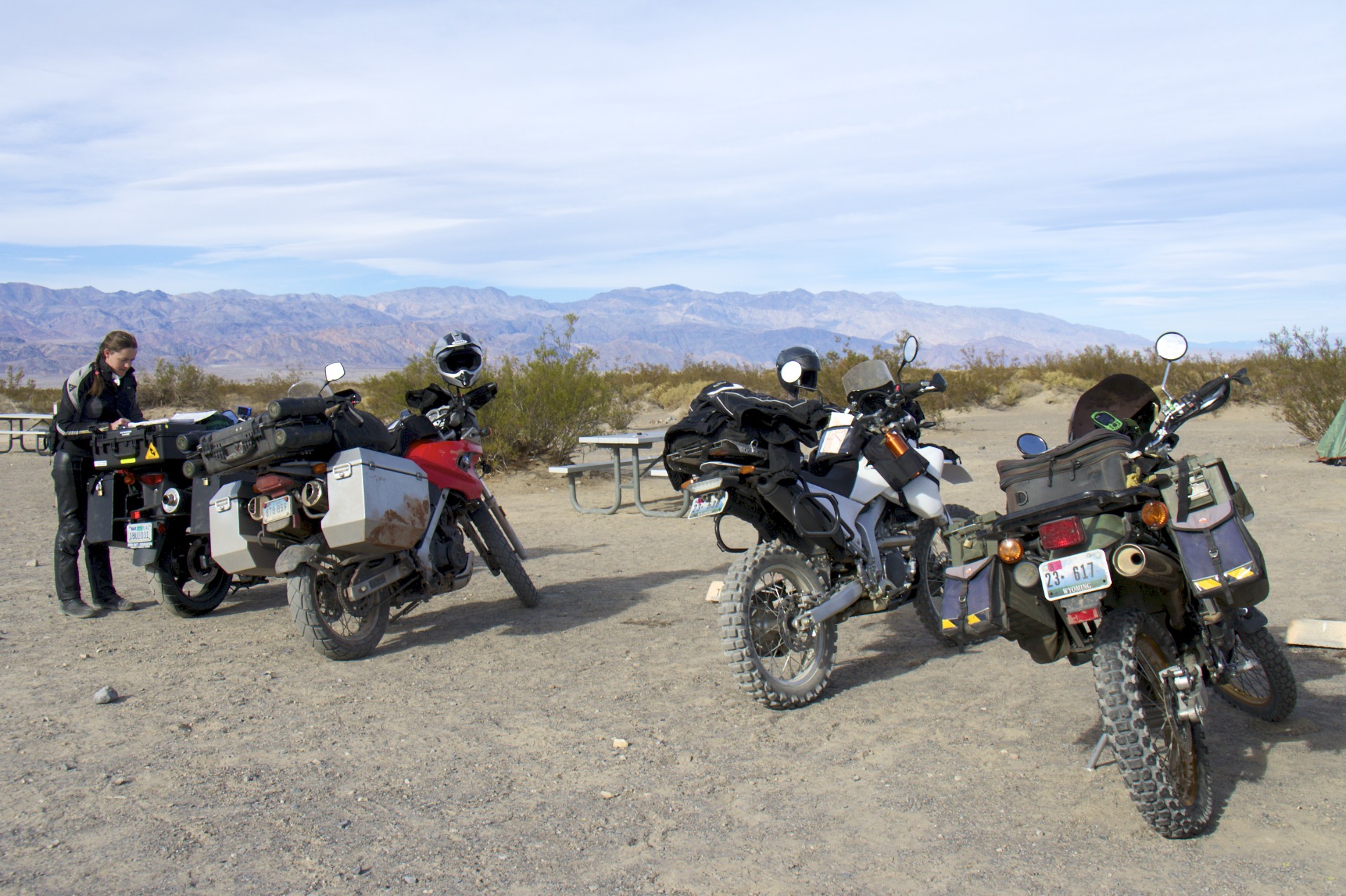
Thankfully buying a motorcycle, especially an “adventure bike” provides automatic membership in some sort of universal club and I’m not the only person ripping around the desert on a bike. A trio of dual-sport bikes were parked off in the corner of the tent area and I had only stopped for a few seconds to figure out my next move when I was approached: “Need a spot?”, “Yup”, “Are you on ADVRider?”, “Yup”, “We’ve got space for another tent”. Turns out some guys from Wyoming had trailered a pair of 250s down to rip around the area for a few days and were already camping with a lone Californian doing some touring on a 650 V-Strom.
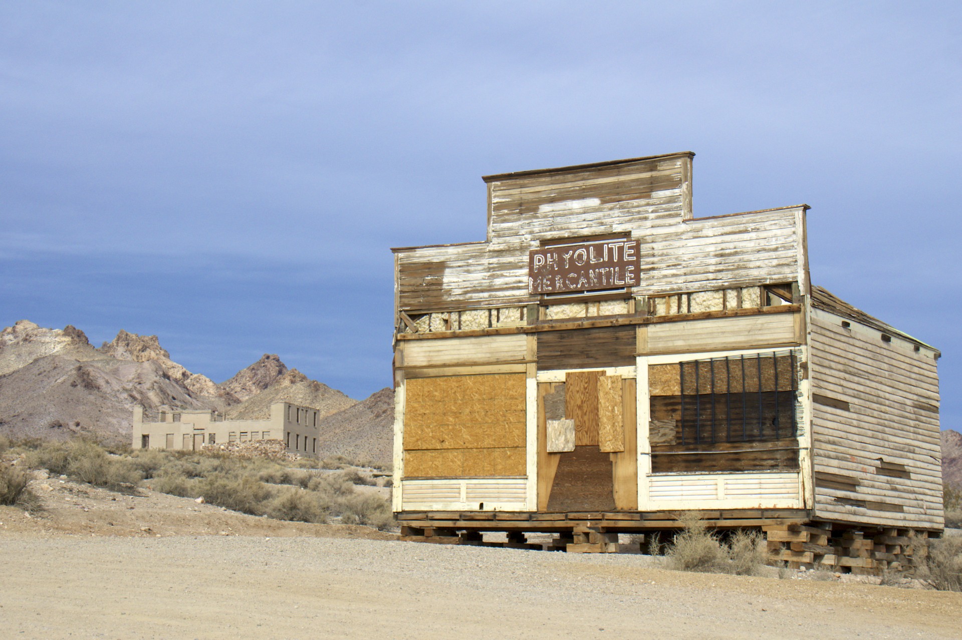
The next morning we all went our separate ways. Mine was up to a little ghost town called Rhyolite just outside the park in Nevada. It was a pretty typical boom town story but perhaps what makes this one unique is the scale of the boom. The town was founded in 1904 and 2 years later in 1906 Charles Schwab (president of Bethlehem Steel, not related to the modern financial company) bought one of the mines. By the next year the town had a population of around 5,000 and due to Schwab’s investment it had all of the modern conveniences of electricity, water mains, telephones, and service from 3 railroads. Banks, a hospital, schools, an opera house, and a stock exchange sprung up. This place was being built to last, then the gold ran out. By 1910 the population was down to 675 and and anything that hadn’t shut down was on its way out. Over the next few years the newspapers, power company, telephone company, and railroads stopped service and the town was left to rot.
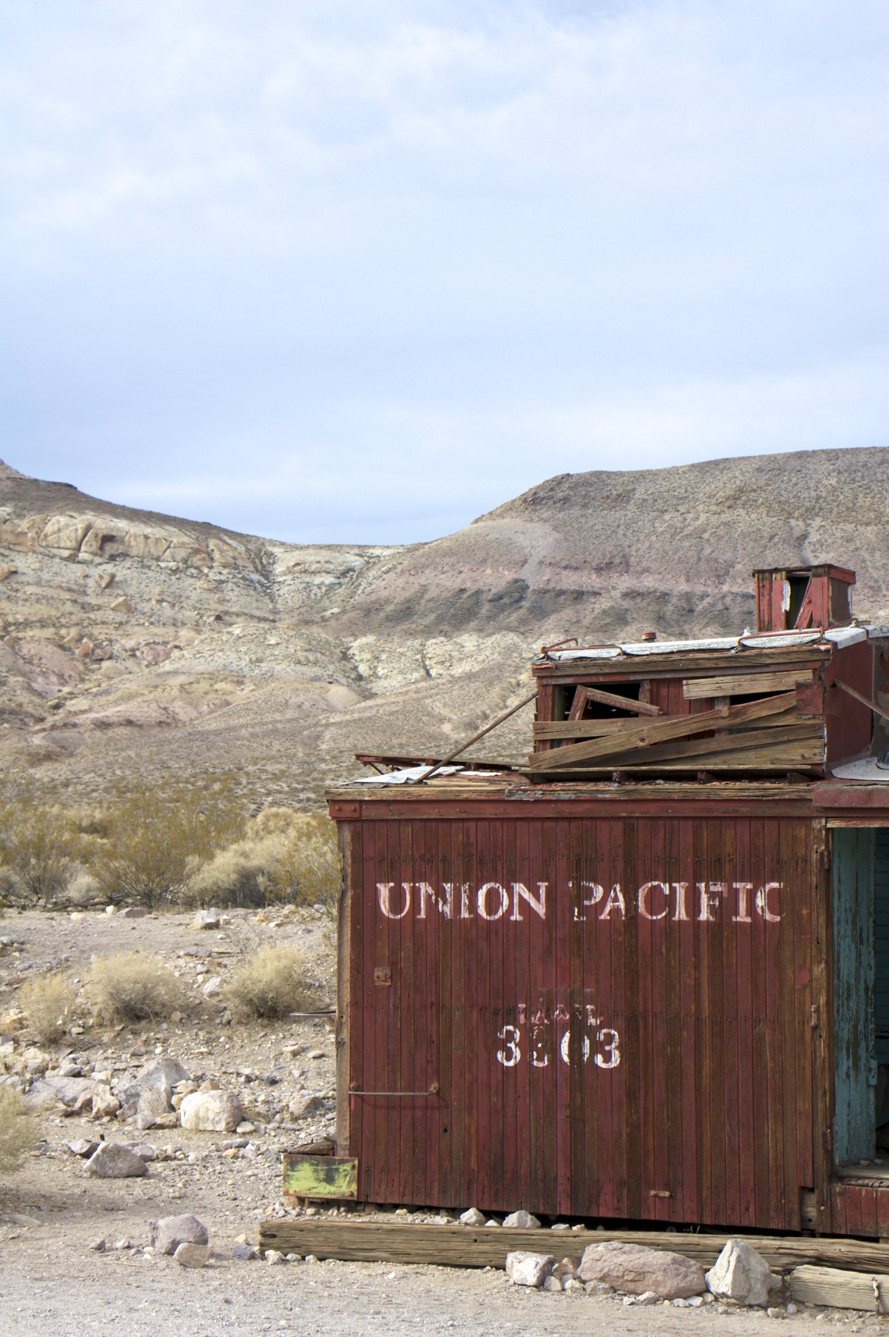
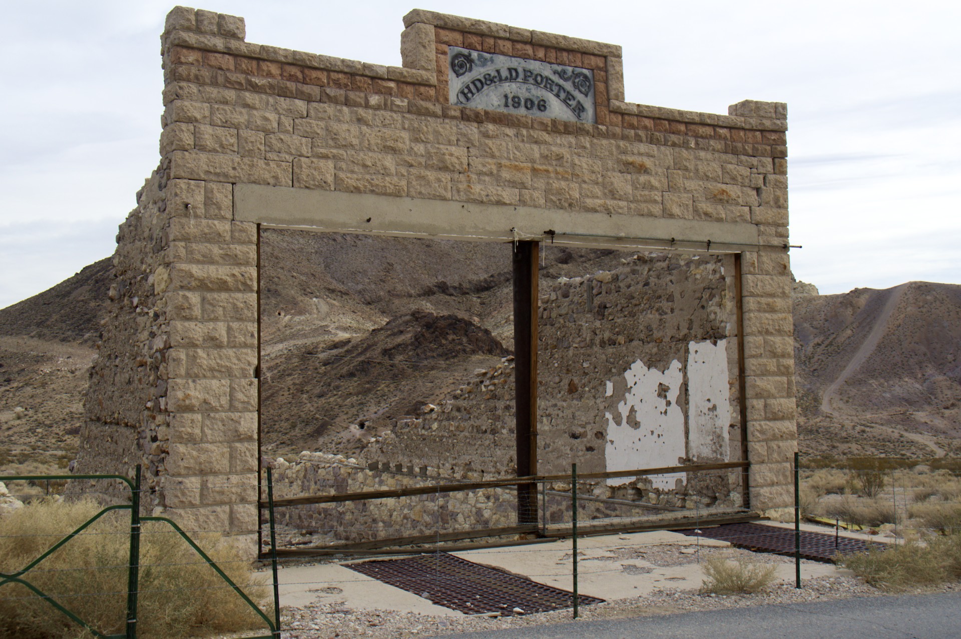
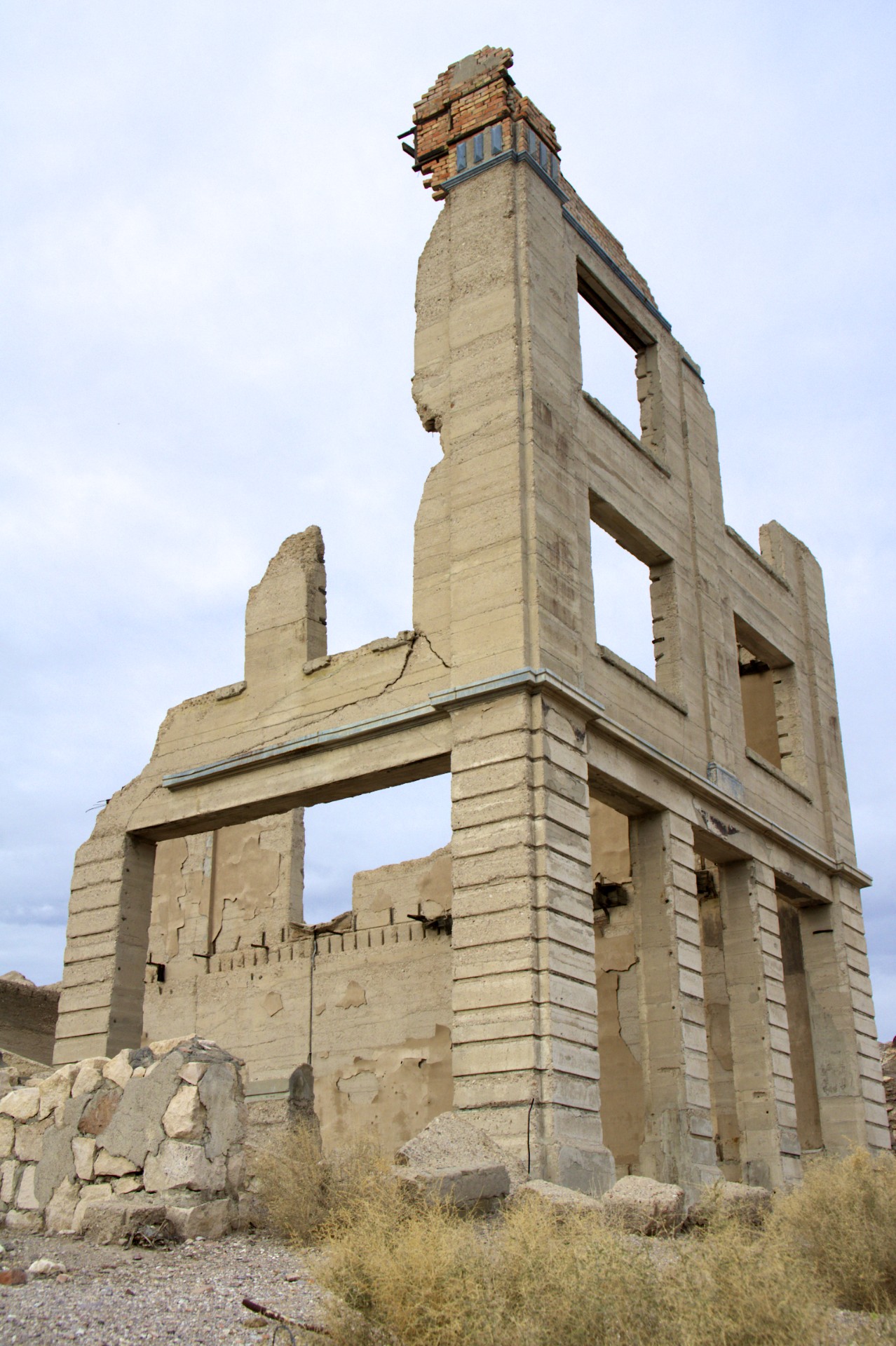
One would expect concrete and masonry structures to last for a significant amount of time, even without maintenance, but all around this town buildings have fallen apart. It almost seems as if the wooden structures have fared better in the dry desert than those made out of what would be expected to be more durable materials. The Cook Bank building was (and despite its ruined state still is) the tallest building in town with walls made of 2 foot thick reinforced concrete. Now, after only about 100 years, entire walls are gone; collapsed out into the street. Cracks in the structure make it plain that the rest of the building won’t be around for much longer either. The Porter Store was a smaller structure with a masonry front wall that still stands but the deteriorating concrete side walls now slope down towards a back wall that is gone. Meanwhile over by the train station an old wooden caboose that once housed a gas station is still mostly intact, various wooden shacks dot the landscape, and the old wooden Rhyolite Mercantile building still has 4 walls and a roof. Seeing the decay here makes me wonder how much effort goes into keeping occupied buildings intact, considering that many occupied buildings are significantly older than these ruins.
I came in to Rhyolite from the south via a signed turn-off from the main road to Beatty (a nearby town where lunch awaited). On my way out of town I continued north on what appeared to be a dirt road past the train station with not much idea where it went other than “the right general direction”. After a few minutes I realized that I was riding on one of the old railroad grades that serviced Rhyolite, the tracks long gone but the cuts and fills of the grade still mostly remaining except for a few fills that had been washed out requiring picking a way down the side of the grade into the wash and back up onto the grade on the other side (easy on a bike, impossible in a car). Eventually the railroad grade came parallel to the modern road and dropped to the same elevation allowing for a crossover and lunch in Beatty as planned.
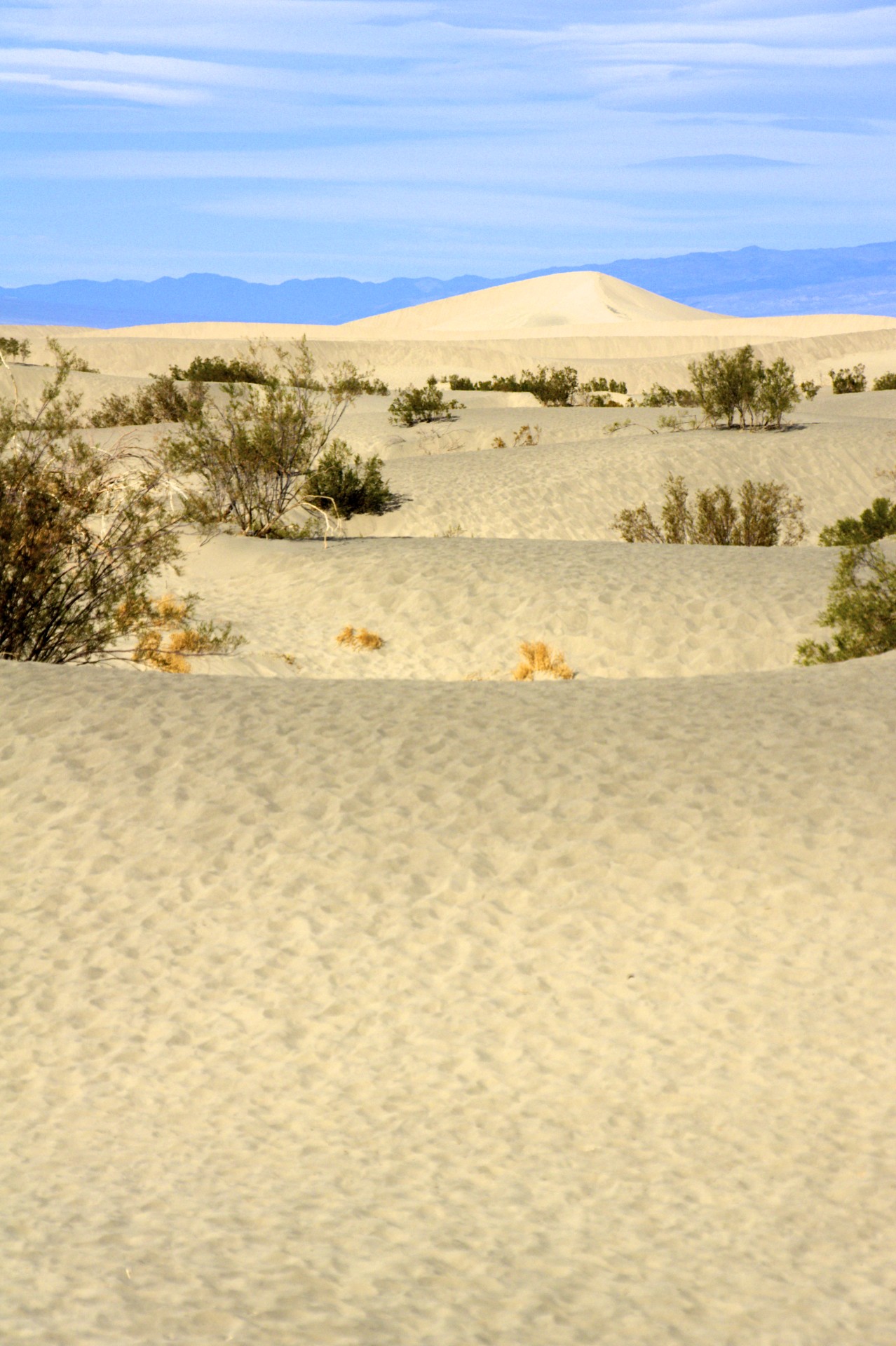
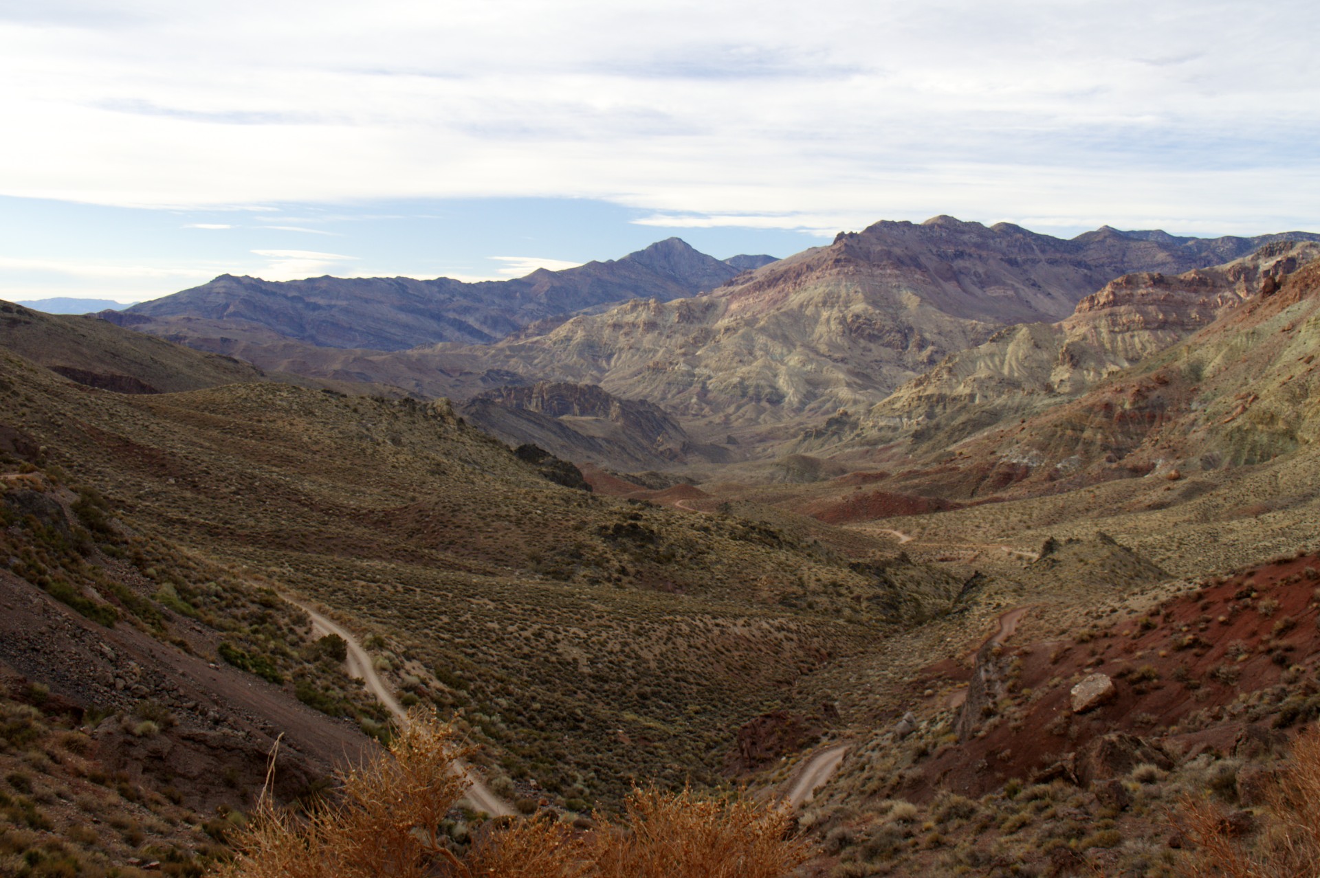
On the way back into Death Valley I took another alternative route: Titus Canyon. The modern paved roads generally follow the path of least resistance through the mountains around the valley, seeking out the lowest and widest passes, but in the past this wasn’t always an option as rich ore deposits were often located in rugged canyons and the miners built roads wherever they needed to. Titus Canyon was home to the town of Leadfield in the 1920′s (founded 1925, peaked 1926, gone 1927, it had a post office for 6 whole months), build around a mine and advertised with posters ostensibly showing steamships on the Amargosa River (you will recall that the Amargosa River is mostly underground, nor does it pass anywhere near Leadfield for that matter). After switchbacking up the Amargosa Range to 5,300 feet (where I stumbled across the Wyoming duo on their 250′s) the road from Beatty winds down the other side, passes the town site at 4,000 feet, and drops into Titus Canyon itself: a twisty narrow slot canyon with a dirt floor washed clean by flash floods, barely wide enough for a car (but plenty of room for bikes). The canyon drops back out into Death Valley 9 miles and 3,000 feet of elevation loss later and soon joins back up with the main park road, a total of 27 miles from the split with the main paved road from Beatty to pavement in Death Valley. A quick run on the pavement, past the sand dunes, and back to Stovepipe Wells for the night.
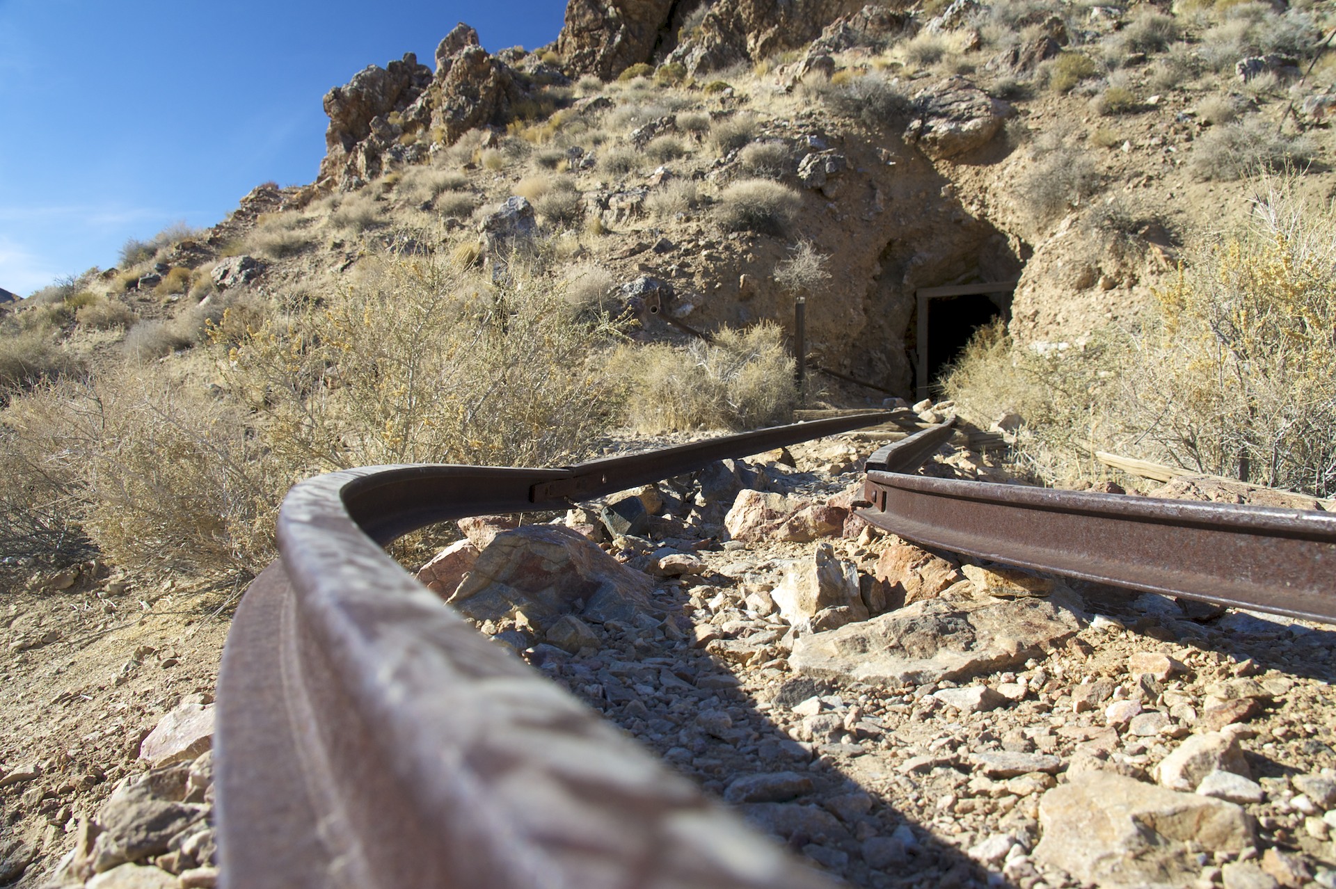
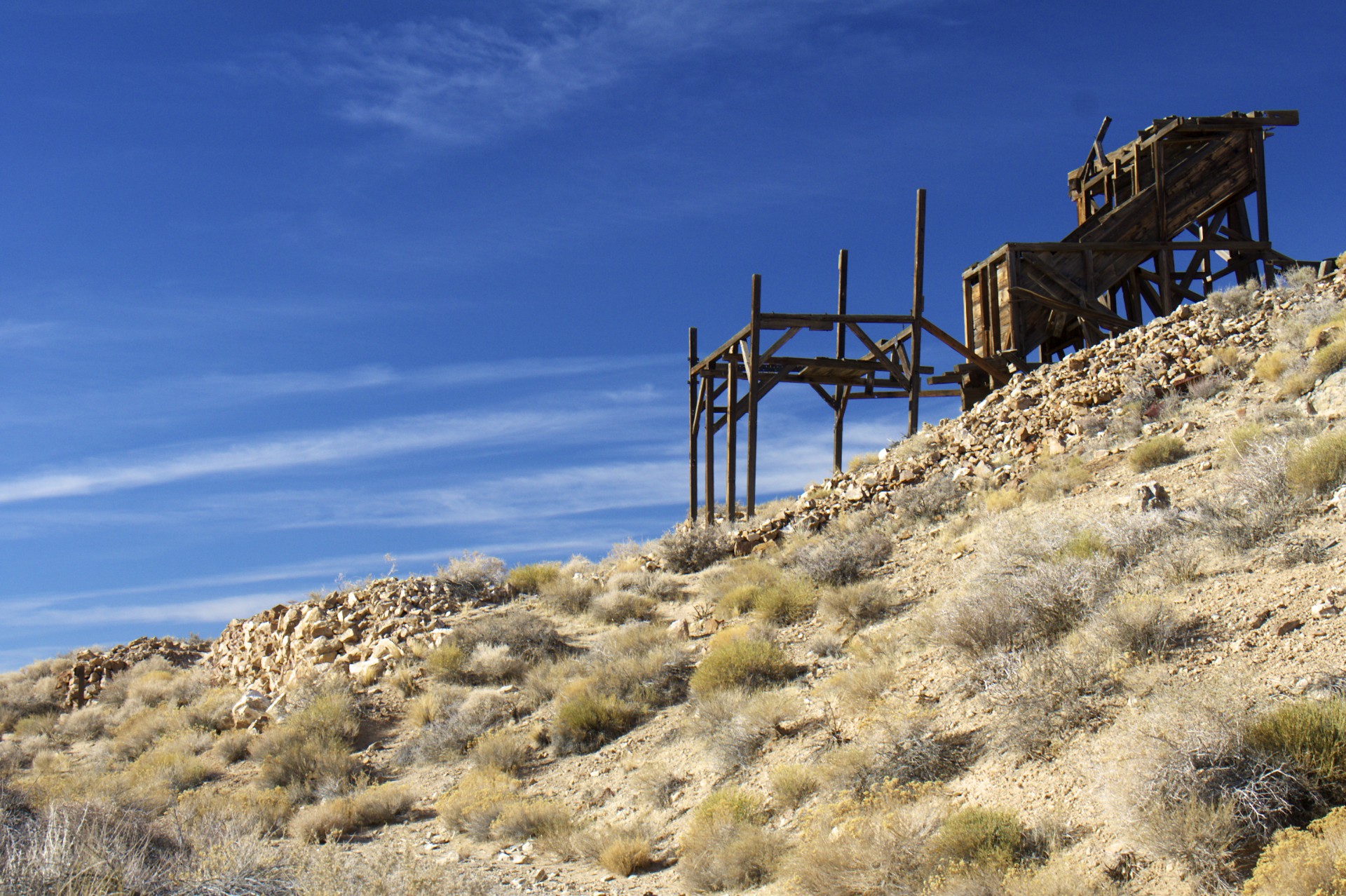
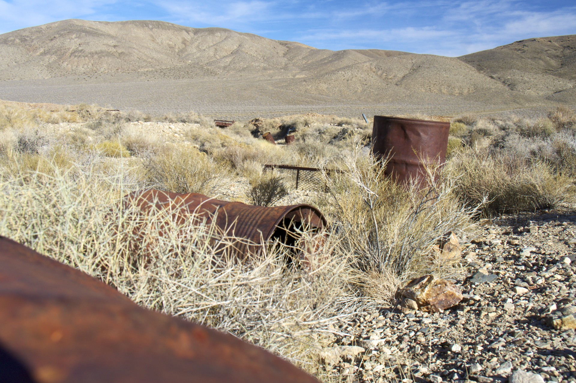
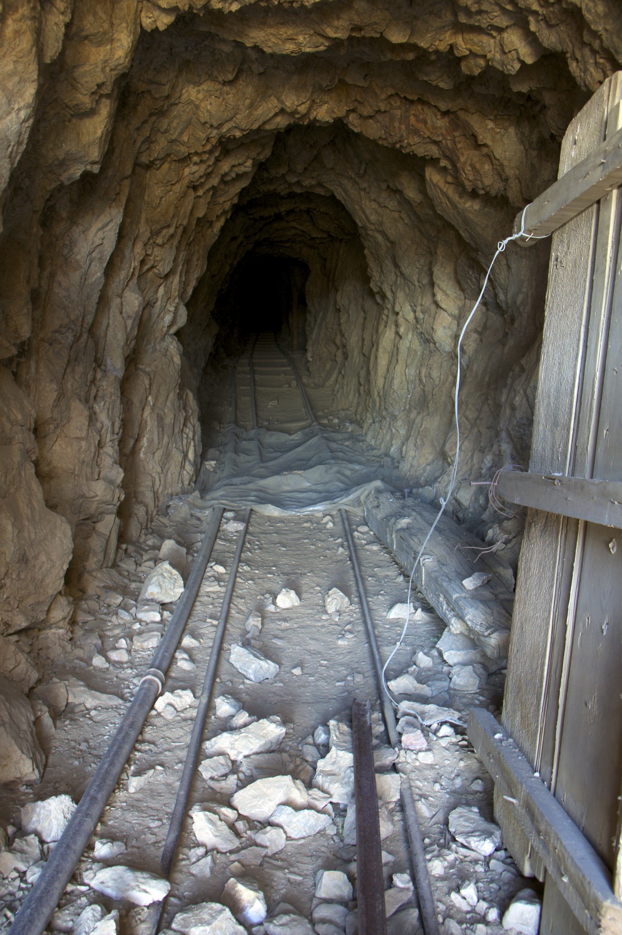
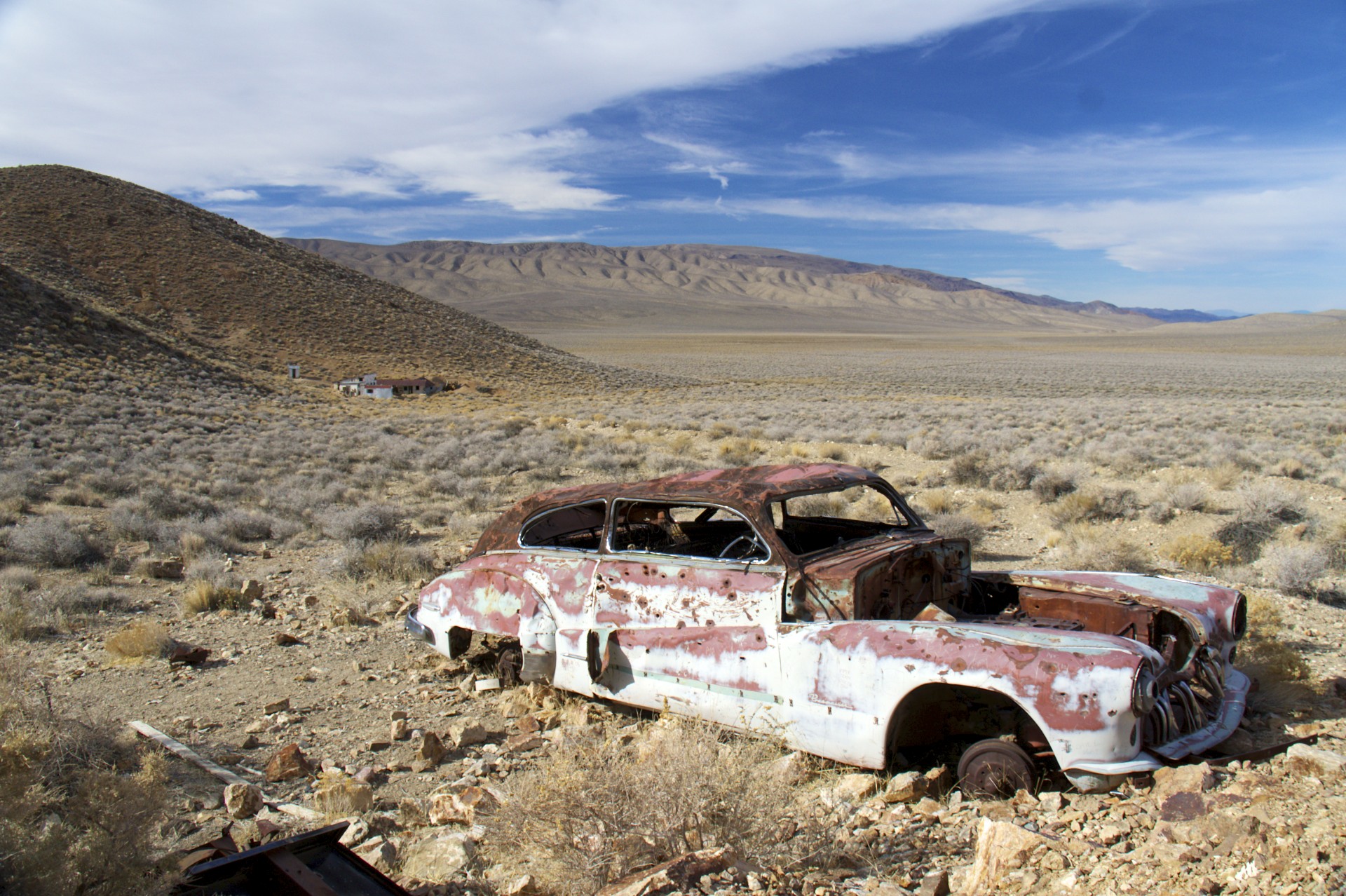
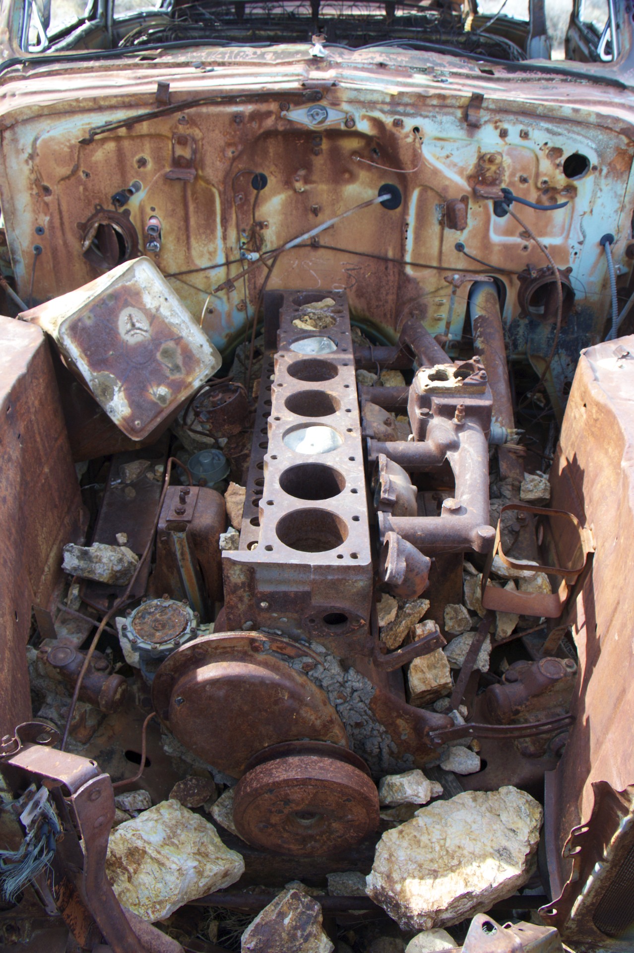
The next morning was time for some more high altitude ghost town adventures on the west side of the valley. The road through Emigrant Pass branches off of one of the main park roads just west of Stovepipe Wells and climbs up to cross a broad valley at 5,000 feet elevation in the Panamint Range before dropping back down to Panamint Valley on the west side. A small hill along the road is the site of Harrisburg and the Eureka Mine, yet another gold rush boom town. After the boom was over a lone basque prospector by the name of Pete Aguereberry stayed behind for nearly 30 years, working the hill until his death. A number of shacks remain where the town was located on the west side of the hill while 3 mineshafts punch in from the west, north, and east. The northern shaft contains rail-cart tracks while the eastern shaft still has wooden lifting works in place over the entrance. Apparently the shafts are safe enough that the park service allows access and has installed signs inside, but this time of year the entrances are gated off to protect hibernating bats. A rusting car sits near the entrance to the western shaft, riddled with bullet holes and with the head removed from its enormous inline 8 cylinder engine.
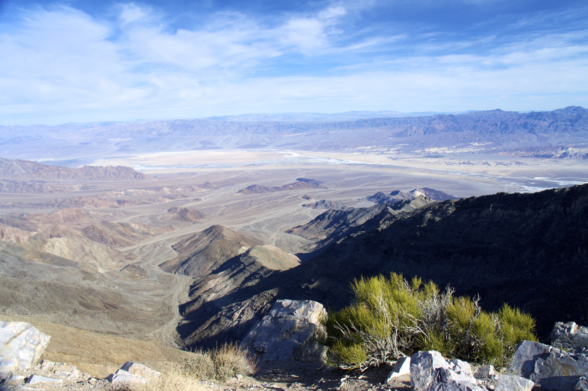
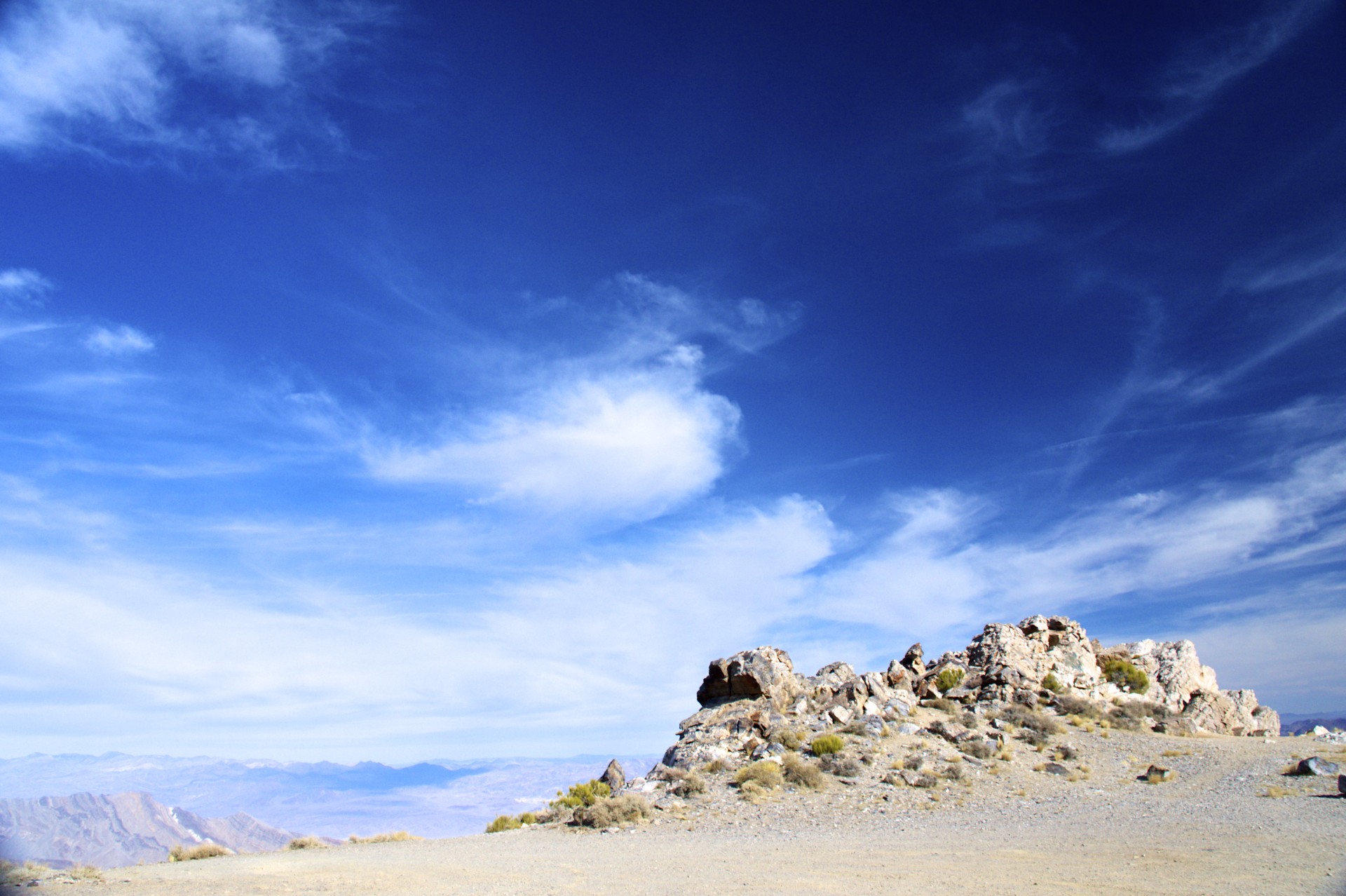
A dirt road continues from Harrisburg up to Aguereberry Point, named after the prospector due to his habit of bringing sightseers here to experience the expansive views of Death Valley below, with the small oasis of Furnace Creek on an alluvial fan to the northeast and the salt pan of Badwater Basin to the southeast. Turning back to the west the snow-capped high peaks of the Sierra Nevada crest can be seen looming in the distance above the Inyo Range, the next and last line of desert peaks to the west. There was still plenty more to see in Death Valley but the Sierras were calling and I had heard that the Tioga Road, one of very few ways to cross the Sierras, was still open (a rarity, normally the road is closed due to snow for 7 months out of the year). It was December 31st and a New Years Day crossing through Tioga Pass was an opportunity I couldn’t pass up. I turned west, through Emigrant Pass and down into Panamint Valley, towards the Inyos, Owens Valley, and the Sierra Nevada.
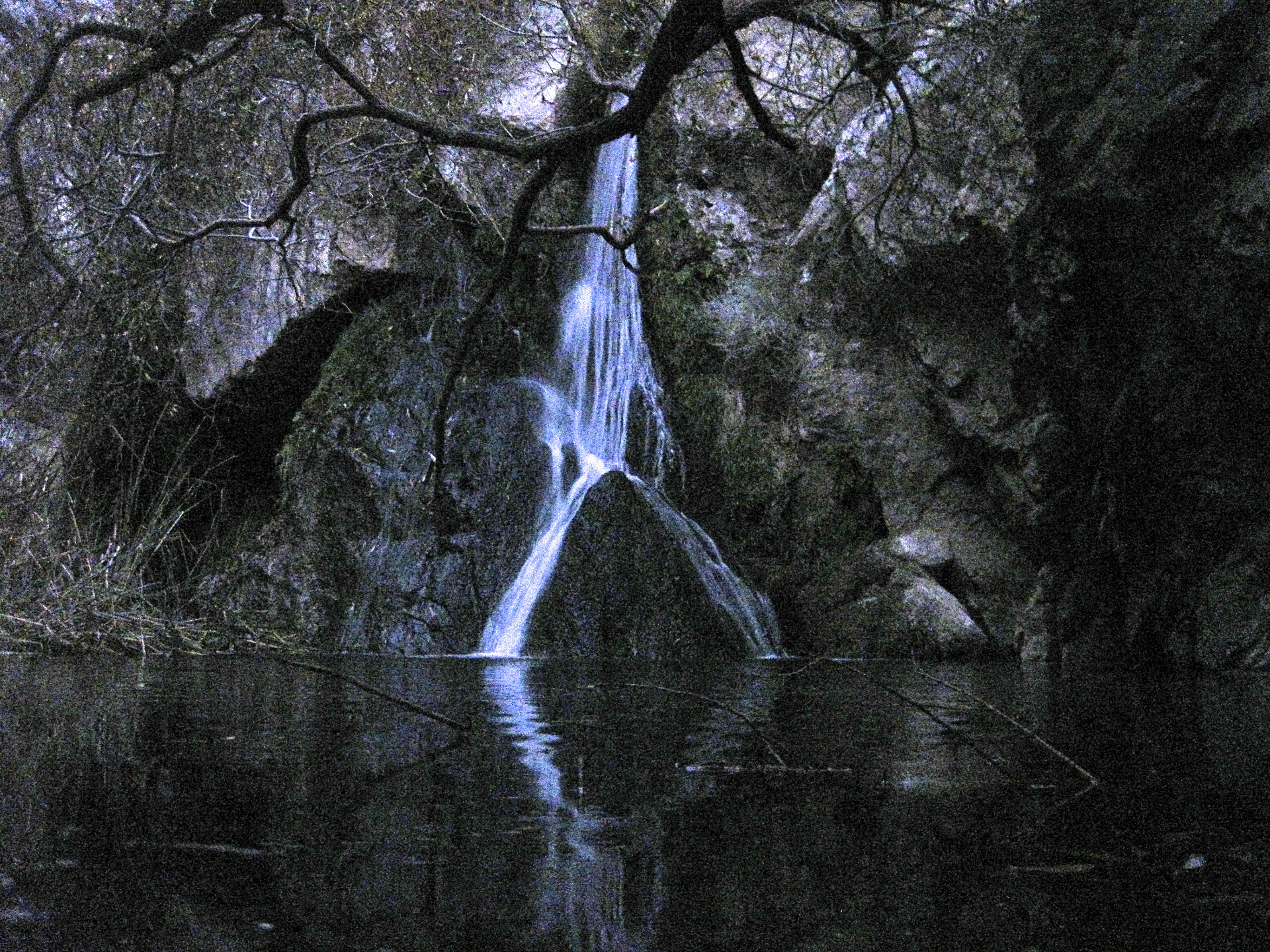
Panamint Valley is home to another of the resorts that dot the region: Panamint Springs. There isn’t much there, just a motel, restaurant, gas station, and campground (which is what I was interested in for the night). The water supply for this little outpost comes from a canyon just west of town, a place that I had visited before late in the day and had wanted to revisit. The remnants of the original toll road in from the west branches off from the modern road and disappears up the canyon, paralleled by a piece of pipe laid on the ground. About 2 and a half miles up the canyon a hiking trail branches off from a rocky parking lot into yet another side canyon. From the mouth of the canyon it appears no different than any of the other canyons, except for the mysterious pipe running along one side, sometimes propped up with rocks and at other times suspended with ropes. The further up this canyon one travels the more plant life appears, and eventually the first little trickle of a stream is encountered. Continuing on the canyon walls close in, the vegetation becomes larger and closer, and the trickle becomes a stream. After about a mile and only after splashing through ankle-deep water, creeping along rock ledges, and climbing over fallen logs is a waterfall, the first of a series that come down from the highlands above, another tiny oasis in a parched desert. The mysterious pipe? Jacked into the rock next to the waterfall, the water source for Panamint Springs.


- Acadia National Park
- Adirondacks
- Aerial
- Airstream
- Ancient Bristlecone Pines
- Anza-Borrego
- Appalachian Trail
- Arches National Park
- Backpacking
- Bad Larry
- Bears Ears National Monument
- Boatpacking
- Boston
- Bryce Canyon National Park
- Canoeing
- Canyon de Chelly National Park
- Canyoneering
- Canyonlands National Park
- Capitol Reef National Park
- Caribbean
- Catskills
- Cities
- Climbing
- Colorado National Monument
- Colorado Plateau
- Death Valley National Park
- Europe
- Fisher Towers
- Grand Canyon National Park
- Grand Staircase-Escalante National Monument
- Grand Teton National Park
- Gunks
- Hiking
- Iceland
- Joshua Tree National Park
- Lassen Volcanic National Park
- Manzanar National Historic Site
- Mojave Desert
- Mojave National Preserve
- Mountaineering
- Mt Washington
- Mt Whitney
- Natural Bridges National Monument
- New York CIty
- Pacific Northwest
- Petrified Forest National Park
- Pinnacles National Monument
- Red Roamer
- Road Trips
- Rocky Mountains
- Ruins
- Sailing
- San Diego
- San Francisco
- Sequoia National Park
- Sierra Nevada
- Skiing
- Sonora Desert
- Spelunking
- Superbloom
- Superstition Mountains
- White Mountains
- Yellowstone National Park
- Yosemite National Park
- Zion National Park