Chris Roams
Travel, Adventures, and Photography
Southern Utah Direct
May 23, 2012
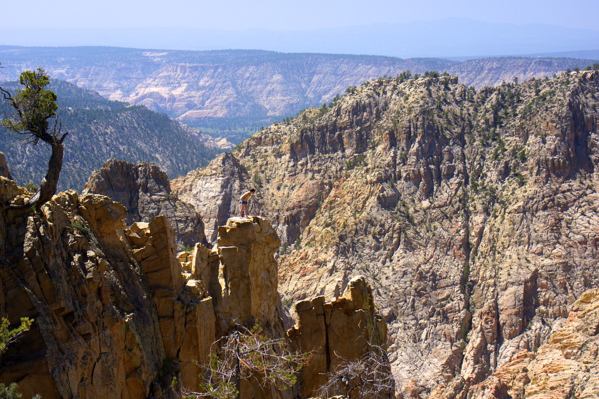
The town of Escalante sits at an altitude of 5,800 feet, an elevation that would be considered high in many parts of the world but here it is still low enough for it to be hot, sandy desert. Only a few miles north of town a high mountain range reaches up to over 10,000 feet providing a cool refuge from the heat below and high summer pastures for the herds of cattle. A dirt road was blazed across these ridges in the 1930s by the Civilian Conservation Corps, rising up over 9,000 feet in elevation the centerpiece is a small bridge onto Hells Backbone, a high ridge with steep drops on both sides offering views of the wilderness below.
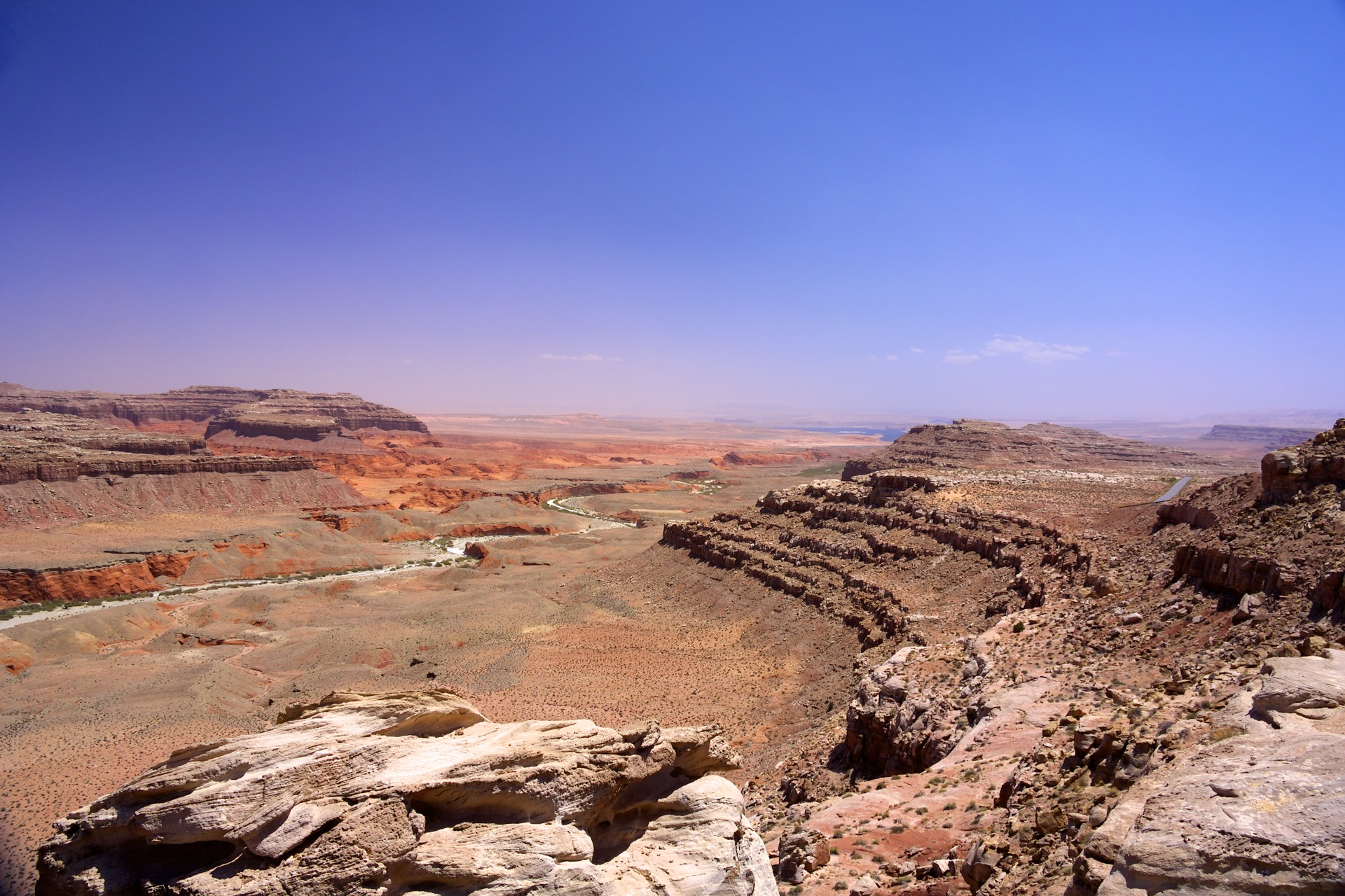
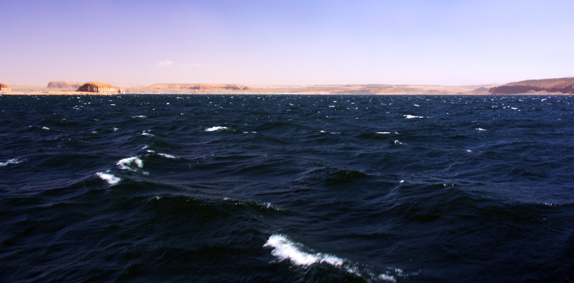
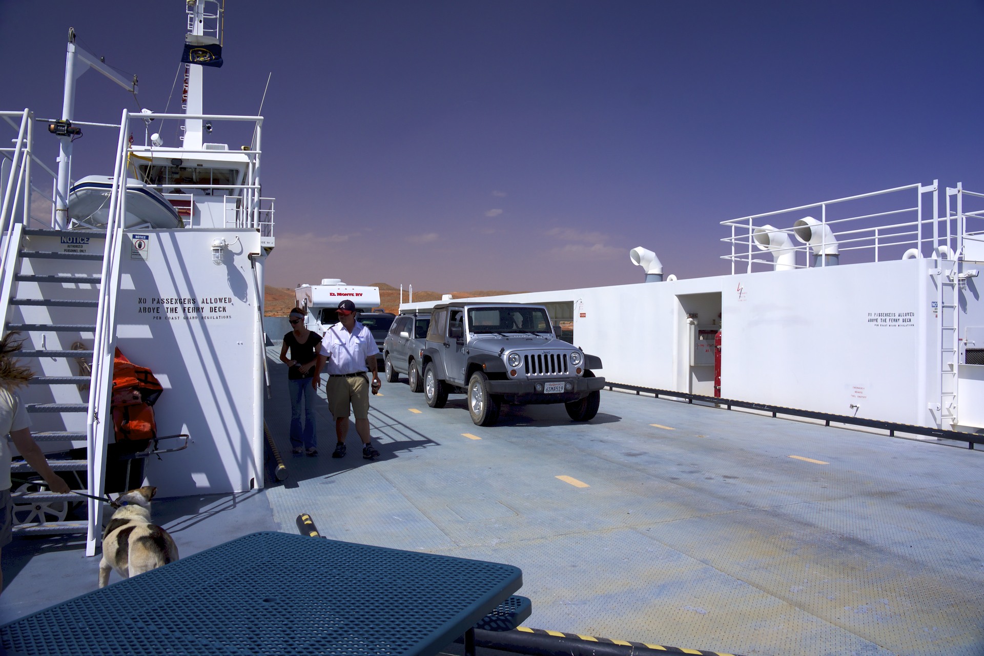
The road eventually winds its way down to Boulder, another ranching town and a crossroads. The paved road from here heads far to the north before looping back down to cross the only bridge across Lake Powell but there is another way: an old cattle trail heads east out of town, crossing directly through the sharp ridge of Waterpocket Fold via steep dirt switchbacks and then on across miles of parched desert to the ferry at Halls Crossing, the replacement for the Hole in the Rock route pioneered earlier by Mormon settlers.
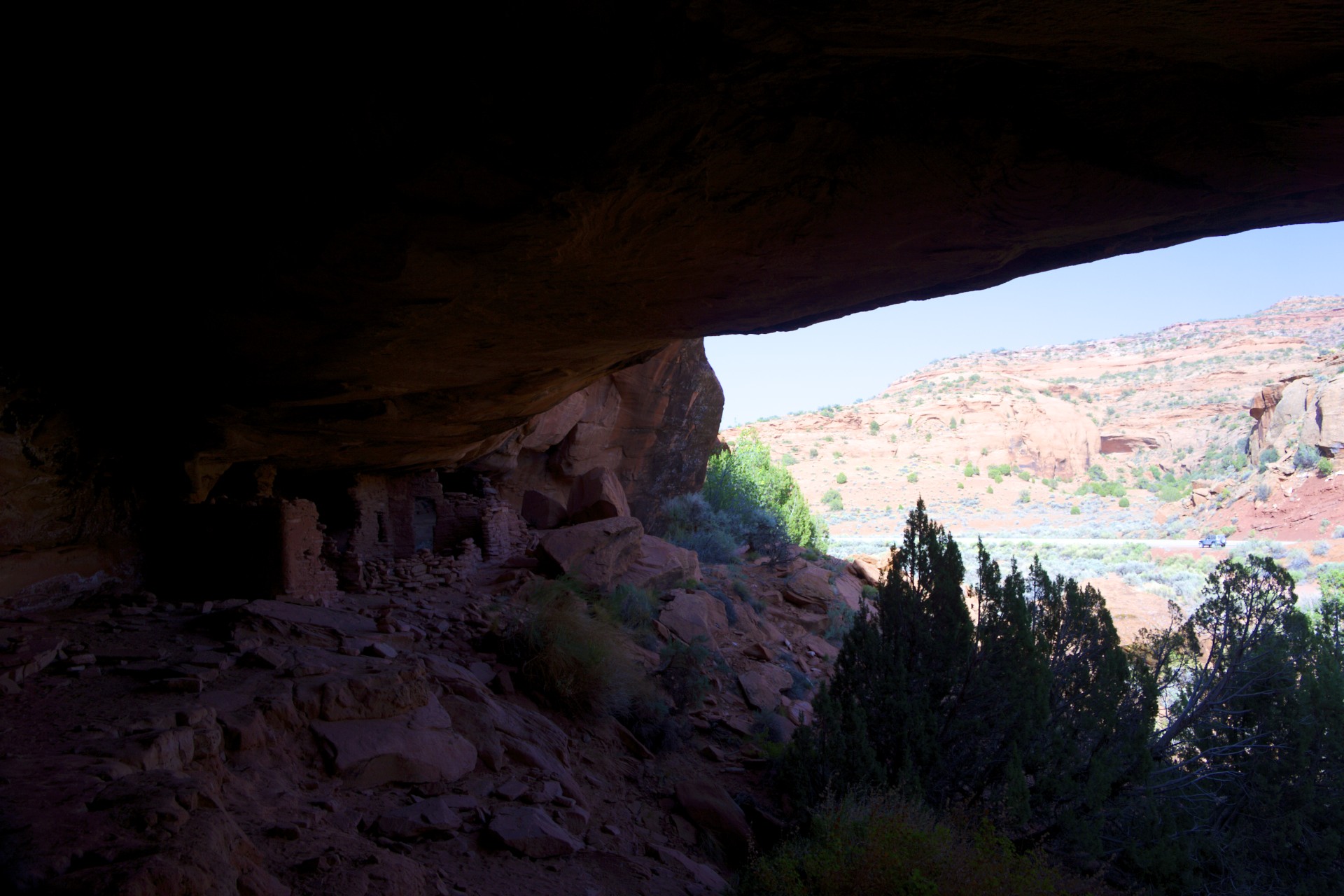
Evidence of ancient native peoples is ubiquitous in the American Southwest, one need merely look into a nearby canyon to find rock art or cliff dwellings. The road out of Halls Crossing is no exception. In a small rocky alcove along the side of the road, barely hidden behind a few bushes, are the ruins of a small settlement. A few small rooms made from stacked sandstone bricks are protected from the sun and rain by an overhanging roof of stone and the settlement may have once had access to water via a stream below that is now just a dry wash. A few carvings dot the walls and it’s doubtful that many people visit this place other than drivers who happen to notice it as they pass through and stop to investigate.
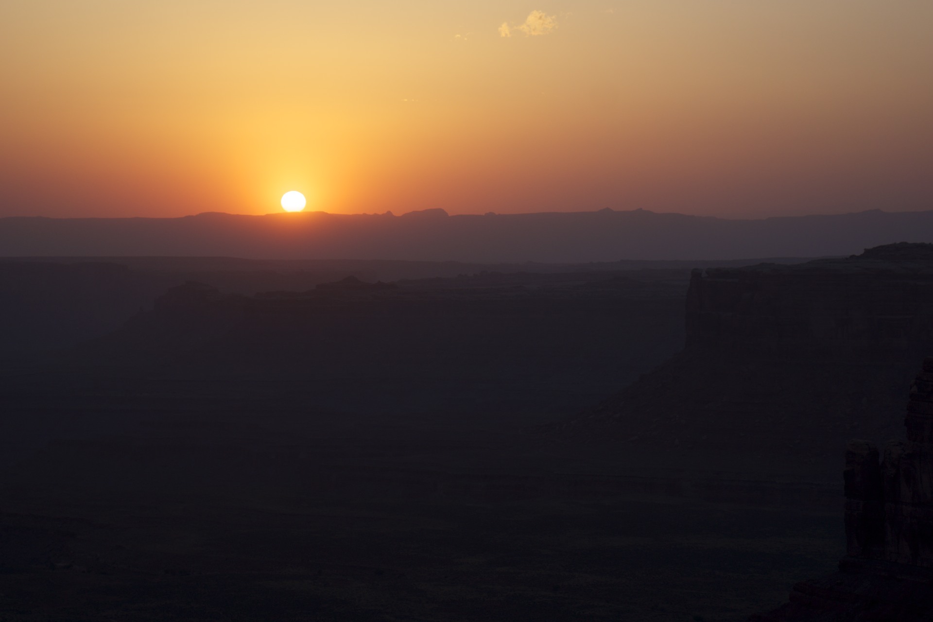
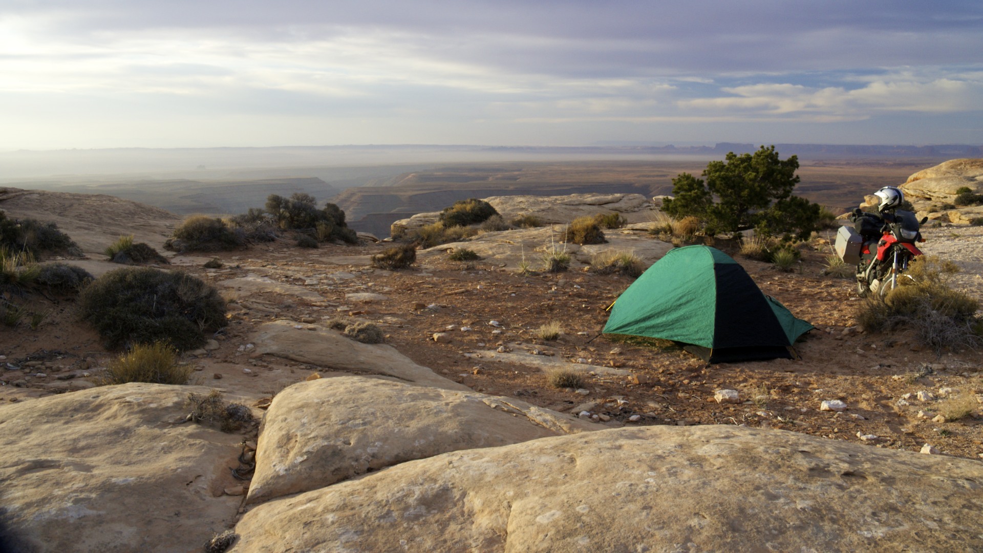
The day ended at another old haunt, Muley Point, high on the edge of Cedar Mesa above the canyon of the San Juan river. Tremendous wind gusts had been kicked up by a weather system moving into the area and it was necessary to pitch camp down among the boulders on one of the narrow ledges below the edge of the point. Even here, on this high remote windy point ancient art can be found on a large slab of rock lying broken on the ledge, the carvings presumably made when the slab was still vertical and attached to the cliff face. I’m sure we were not the first to camp on this spot.


- Acadia National Park
- Adirondacks
- Aerial
- Airstream
- Ancient Bristlecone Pines
- Anza-Borrego
- Appalachian Trail
- Arches National Park
- Backpacking
- Bad Larry
- Bears Ears National Monument
- Boatpacking
- Boston
- Bryce Canyon National Park
- Canoeing
- Canyon de Chelly National Park
- Canyoneering
- Canyonlands National Park
- Capitol Reef National Park
- Caribbean
- Catskills
- Cities
- Climbing
- Colorado National Monument
- Colorado Plateau
- Death Valley National Park
- Europe
- Fisher Towers
- Grand Canyon National Park
- Grand Staircase-Escalante National Monument
- Grand Teton National Park
- Gunks
- Hiking
- Iceland
- Joshua Tree National Park
- Lassen Volcanic National Park
- Manzanar National Historic Site
- Mojave Desert
- Mojave National Preserve
- Mountaineering
- Mt Washington
- Mt Whitney
- Natural Bridges National Monument
- New York CIty
- Pacific Northwest
- Petrified Forest National Park
- Pinnacles National Monument
- Red Roamer
- Road Trips
- Rocky Mountains
- Ruins
- Sailing
- San Diego
- San Francisco
- Sequoia National Park
- Sierra Nevada
- Skiing
- Sonora Desert
- Spelunking
- Superbloom
- Superstition Mountains
- White Mountains
- Yellowstone National Park
- Yosemite National Park
- Zion National Park