Chris Roams
Travel, Adventures, and Photography
Aerial Survey
May 31, 2012
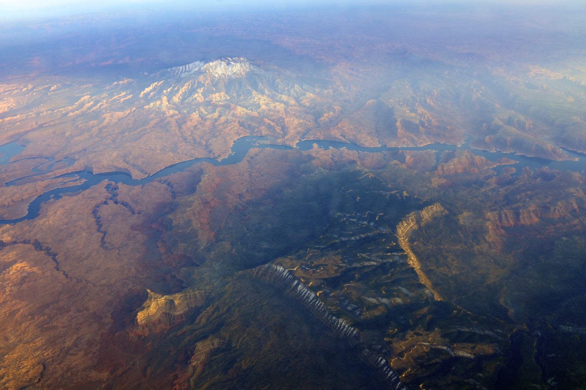
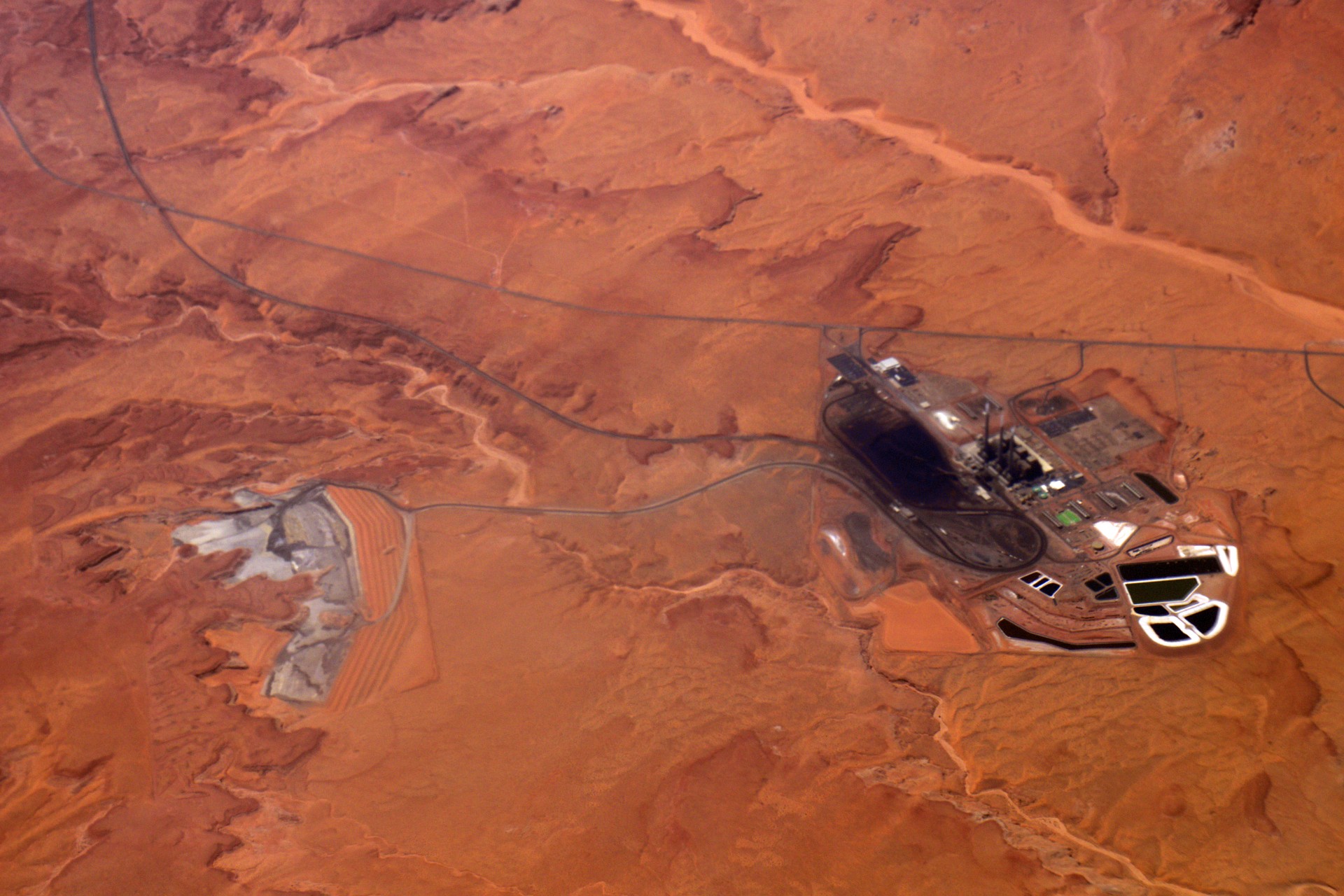
This time around the flight back from Las Vegas passed a bit further south than it had the last time. Instead of flying over southern Utah looking out the window at the Colorado River to the South we were flying over the Colorado River looking south into Arizona. The sharp relief of Marble Canyon and the surrounding House Rock Valley stood out with the tiny ribbons of the old and new Navajo Bridges carrying Route 89A across, the road I had used to get low and flee a snowstorm back in the winter. On the other side of the city of Page is the Navajo Generating Station, an enormous coal-burning power plant that was a target of Ed Abbey’s Monkey Wrench Gang.
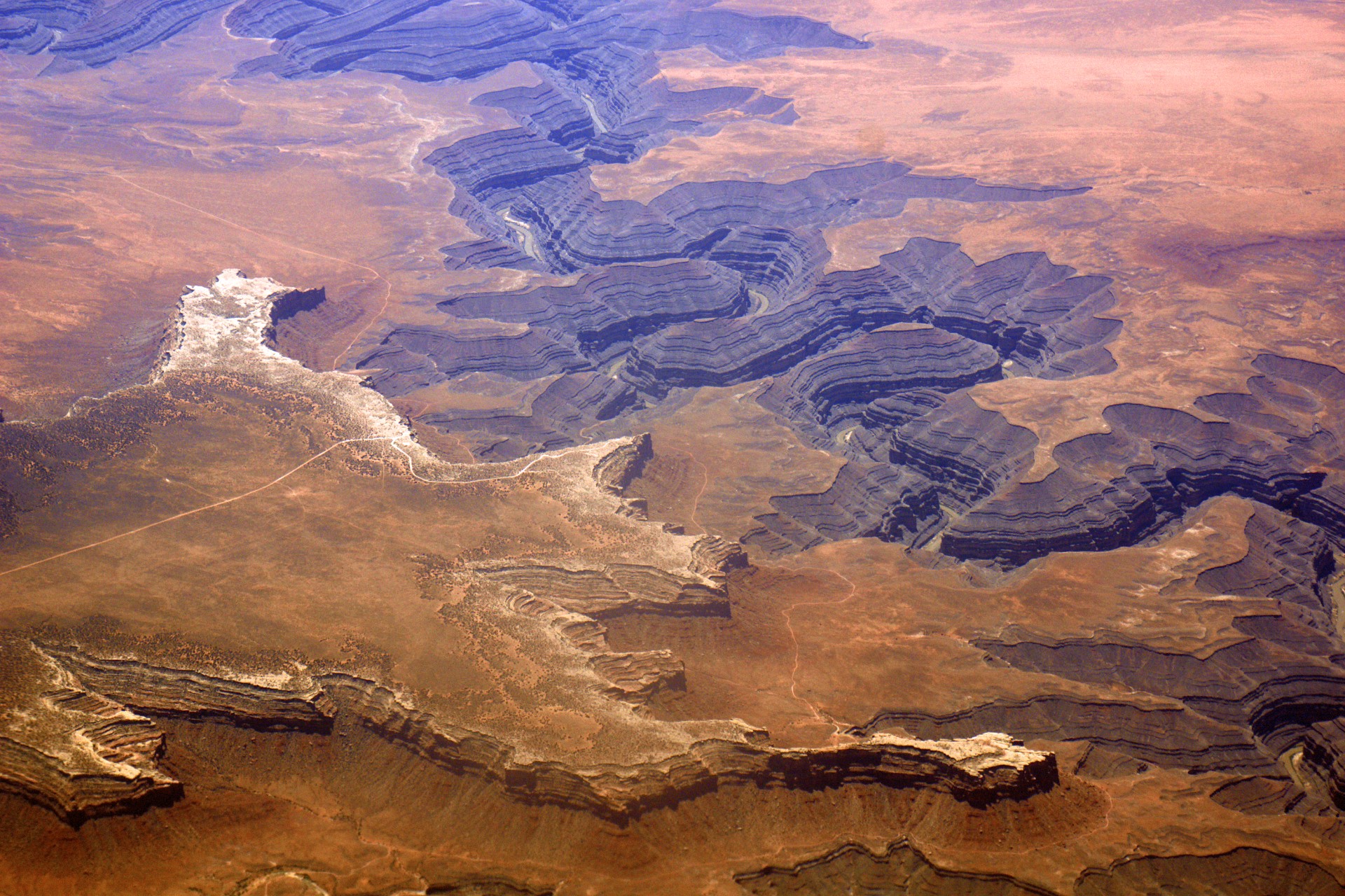
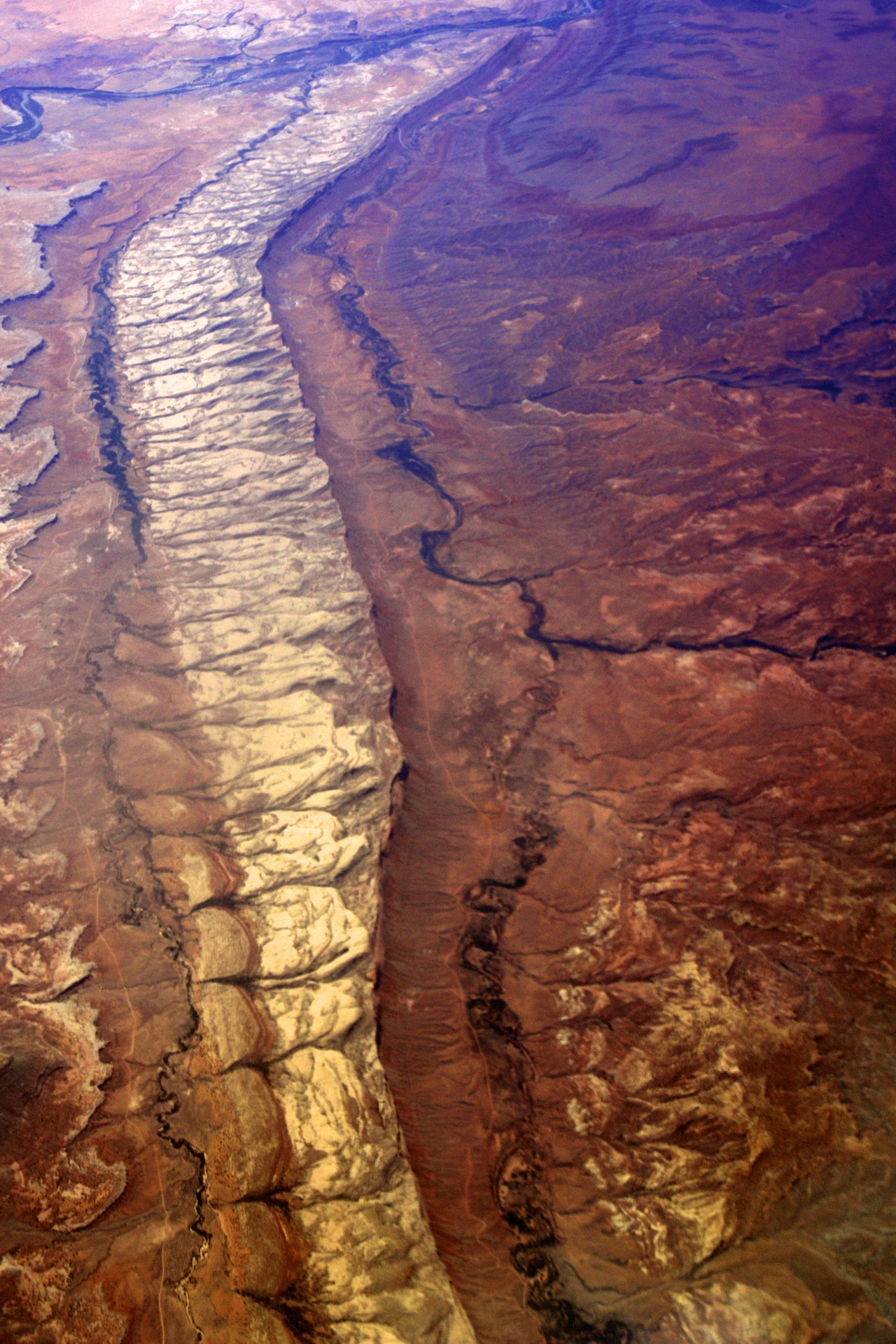
Passing Navajo Mountain again, much closer this time, the plane passed out over Cedar Mesa with a view of Muley Point, where we spent our last night camping on this trip, jutting out over the deep goosenecks of the San Juan River with both the small dirt road out to the point and the tiny Jeep trail on the bench between the edge of the mesa and the river visible from nearly 6 miles up. Along the other edge of the mesa the dirt road snaking through Valley of the Gods is also visible while off in the distance lies Monument Valley, the backdrop for many Western movies and one Forrest Gump. Then, just before the Colorado border and the start of the Rocky Mountains, is the long ridge of Comb Wash, the location of yet another scene in The Monkey Wrench Gang.


Passing Navajo Mountain again, much closer this time, the plane passed out over Cedar Mesa with a view of Muley Point, where we spent our last night camping on this trip, jutting out over the deep goosenecks of the San Juan River with both the small dirt road out to the point and the tiny Jeep trail on the bench between the edge of the mesa and the river visible from nearly 6 miles up. Along the other edge of the mesa the dirt road snaking through Valley of the Gods is also visible while off in the distance lies Monument Valley, the backdrop for many Western movies and one Forrest Gump. Then, just before the Colorado border and the start of the Rocky Mountains, is the long ridge of Comb Wash, the location of yet another scene in The Monkey Wrench Gang.


- Acadia National Park
- Adirondacks
- Aerial
- Airstream
- Ancient Bristlecone Pines
- Anza-Borrego
- Appalachian Trail
- Arches National Park
- Backpacking
- Bad Larry
- Bears Ears National Monument
- Boatpacking
- Boston
- Bryce Canyon National Park
- Canoeing
- Canyon de Chelly National Park
- Canyoneering
- Canyonlands National Park
- Capitol Reef National Park
- Caribbean
- Catskills
- Cities
- Climbing
- Colorado National Monument
- Colorado Plateau
- Death Valley National Park
- Europe
- Fisher Towers
- Grand Canyon National Park
- Grand Staircase-Escalante National Monument
- Grand Teton National Park
- Gunks
- Hiking
- Iceland
- Joshua Tree National Park
- Lassen Volcanic National Park
- Manzanar National Historic Site
- Mojave Desert
- Mojave National Preserve
- Mountaineering
- Mt Washington
- Mt Whitney
- Natural Bridges National Monument
- New York CIty
- Pacific Northwest
- Petrified Forest National Park
- Pinnacles National Monument
- Red Roamer
- Road Trips
- Rocky Mountains
- Ruins
- Sailing
- San Diego
- San Francisco
- Sequoia National Park
- Sierra Nevada
- Skiing
- Sonora Desert
- Spelunking
- Superbloom
- Superstition Mountains
- White Mountains
- Yellowstone National Park
- Yosemite National Park
- Zion National Park