Chris Roams
Travel, Adventures, and Photography
Outbreak of Normalcy
March 13, 2012
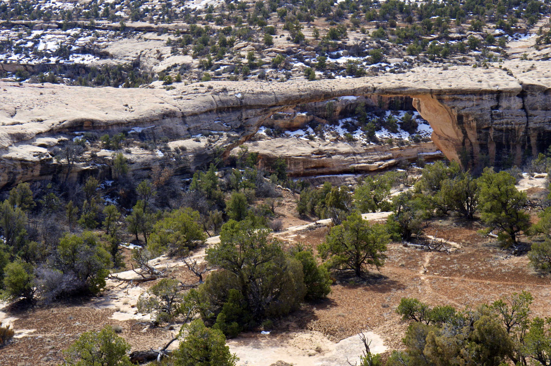
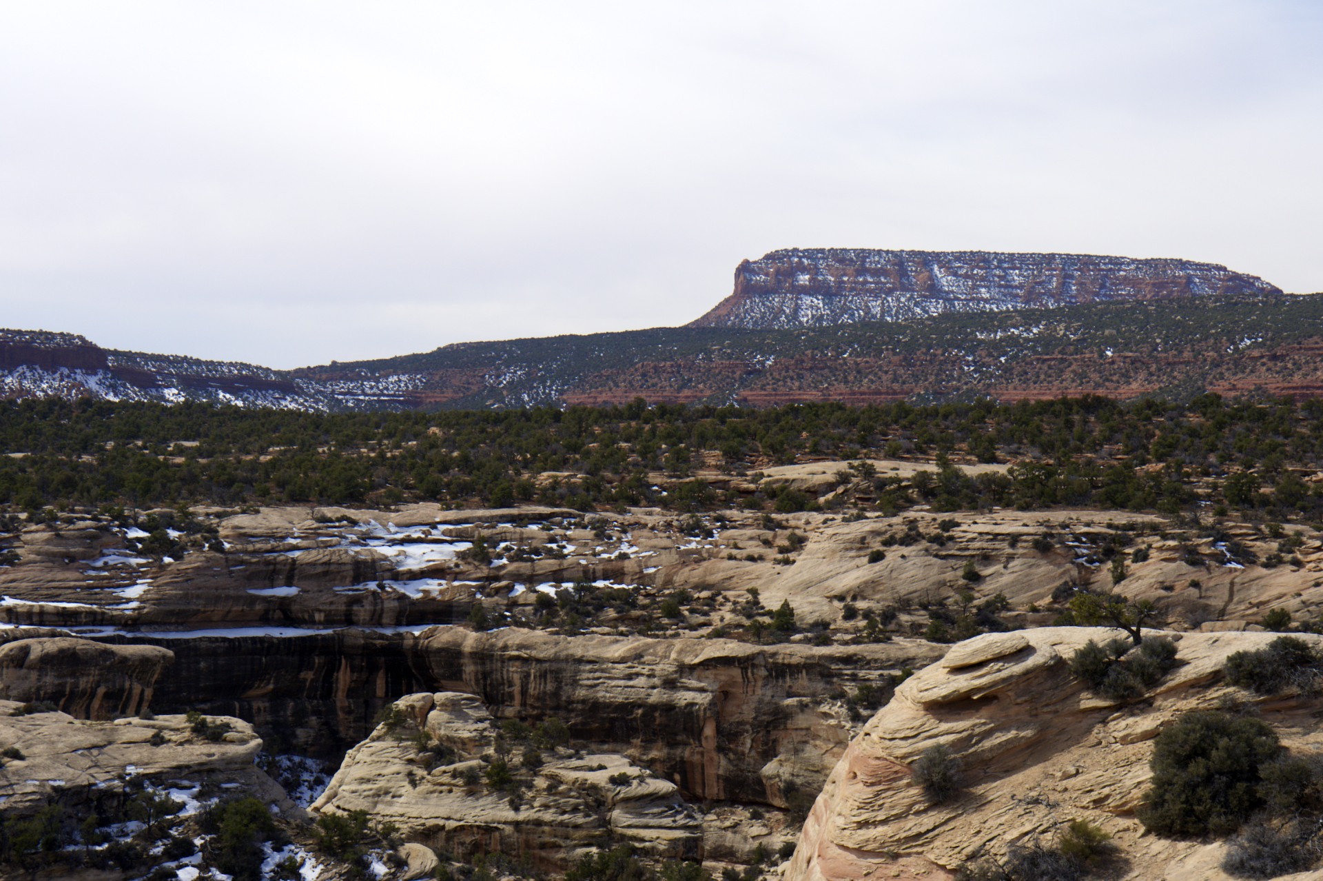
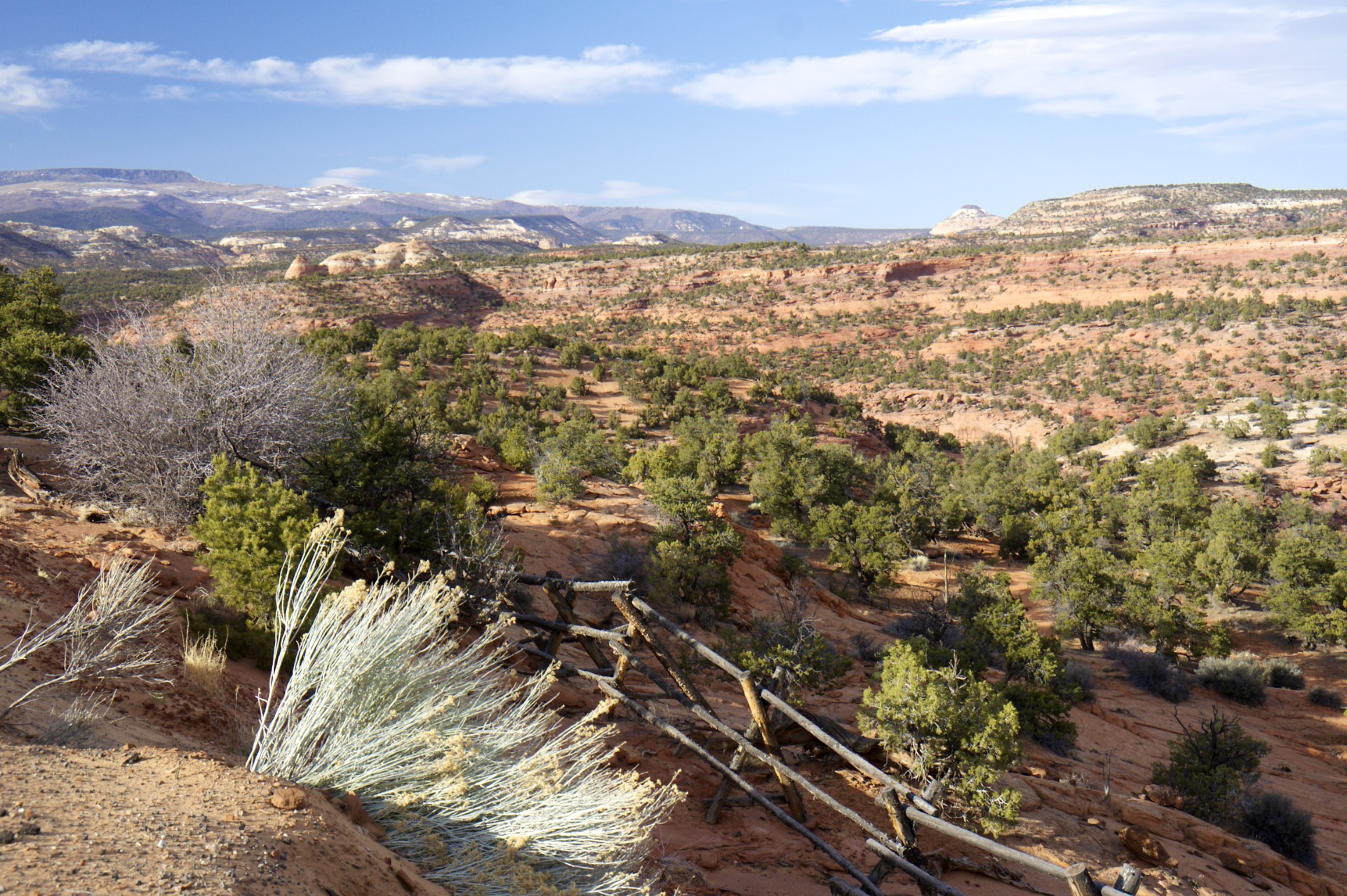
Having woken up still on top of Muley Point (rather than somewhere between the cliff edge and the river below) it was time to head west. Hidden on top of Cedar Mesa at 6,400 feet is Natural Bridges National Monument, set aside by none other than Teddy Roosevelt himself as one of the first few protected areas in the country. The small park contains a number of large arches carved out of the rock but the location of this place gives it a very different character than the more famous arches of Moab: As is typical out here the vegetation varies wildly based on elevation, the trees covering Cedar Mesa striking a sharp contrast with the Valley of the Gods' expanse of sandy desert only a few miles away and a few thousand feet below. Even taller mesas loom off in the distance and beyond them snow capped mountain peaks reaching up to over 10,000 feet, the remnants of long extinct volcanoes. My route for the day would take me right through the middle of it all.
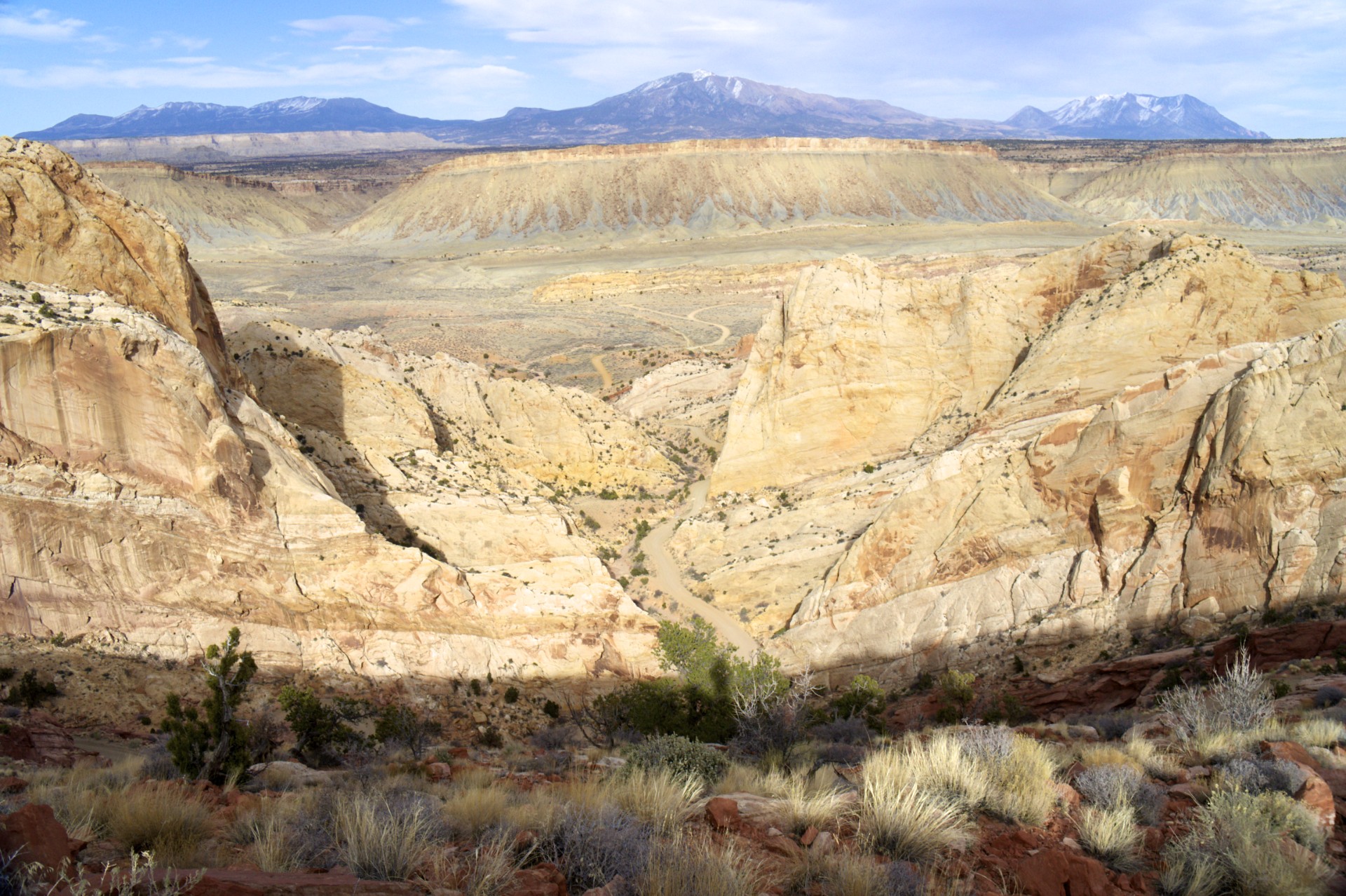
Cedar Mesa marks the eastern edge of a large expanse of nearly un-crossable terrain. Most of southern Utah has been very geologically stable for a very long time, the neatly layered rocks and flat-topped mesas are a direct result of this stability. Most of the travel difficulty comes from the deep canyons that rivers have cut through these layers as the Colorado Plateau as a whole has been pushed up to higher elevations, and none of these canyons is as deep and spectacular (or impassable) as the one cut out by the Colorado River. Hite Crossing, at the western edge of Cedar Mesa and at the upper reaches of Lake Powell, is the location of the only bridge across the river between Moab 65 miles to the northeast and the Glen Canyon Dam 90 miles to the southwest (by air, the distance is over 230 miles on the water). The only other option to cross this section of river is a ferry crossings a few miles downriver from Hite that has existed since the Mormon pioneer days, however the ferry is out of service for the winter. Across the river is another major impediment to travel: Capitol Reef. The Waterpocket Fold is a long corridor where the otherwise stable rock layers were thrust up into a giant fold, 75 miles long but barely one mile wide, and then eroded down into a steep serrated ridge facing a long series of cliffs across the valley. To stay on pavement from the marina at Halls Crossing along the Colorado River to the small town of Boulder only 45 miles away on the far side of Capitol Reef requires driving far to the north, 150 miles in all, but there is another way: an old cattle trail cuts straight across the heart of Capitol Reef, switchbacking its way straight up the water pocket fold. This was my way across.
Beyond the Reef lies another nearly impassable canyon, this one belonging to the Escalante River, and beyond it the steps of the Grand Staircase: a series of high cliffs rising up one after the other increasing in elevation almost all the way to the Nevada Border. The first of these steps beyond the Escalante River is Fifty Mile Mountain, an steep escarpment running 50 miles from the bank of the Colorado River in the south to the town of Escalante in the north. There isn't much in Escalante, it's a typical southern Utah Mormon ranch town with the usual numbered street grid inhabited primarily by square Ford pickup trucks and kids riding around town on ATVs. There were 2 gas stations in town when I came through earlier in the winter but now one of them is out of business. A few inns and restaurants line the main road as well but they all appear to be open more or less sporadically. The primary occupation seems to be ranching with herds of cattle still loose out on the narrow plains between the Escalante River and 50 Mile Mountain. I was heading west, trying to get to Las Vegas and "civilization" 300 miles away so I could check in with the rest of the world but something caught my eye that wasn't here earlier in the winter: a sign hung by the road that read "Cabins: $40, Tents $16, Free WiFi". I had found Escalante Outfitters.
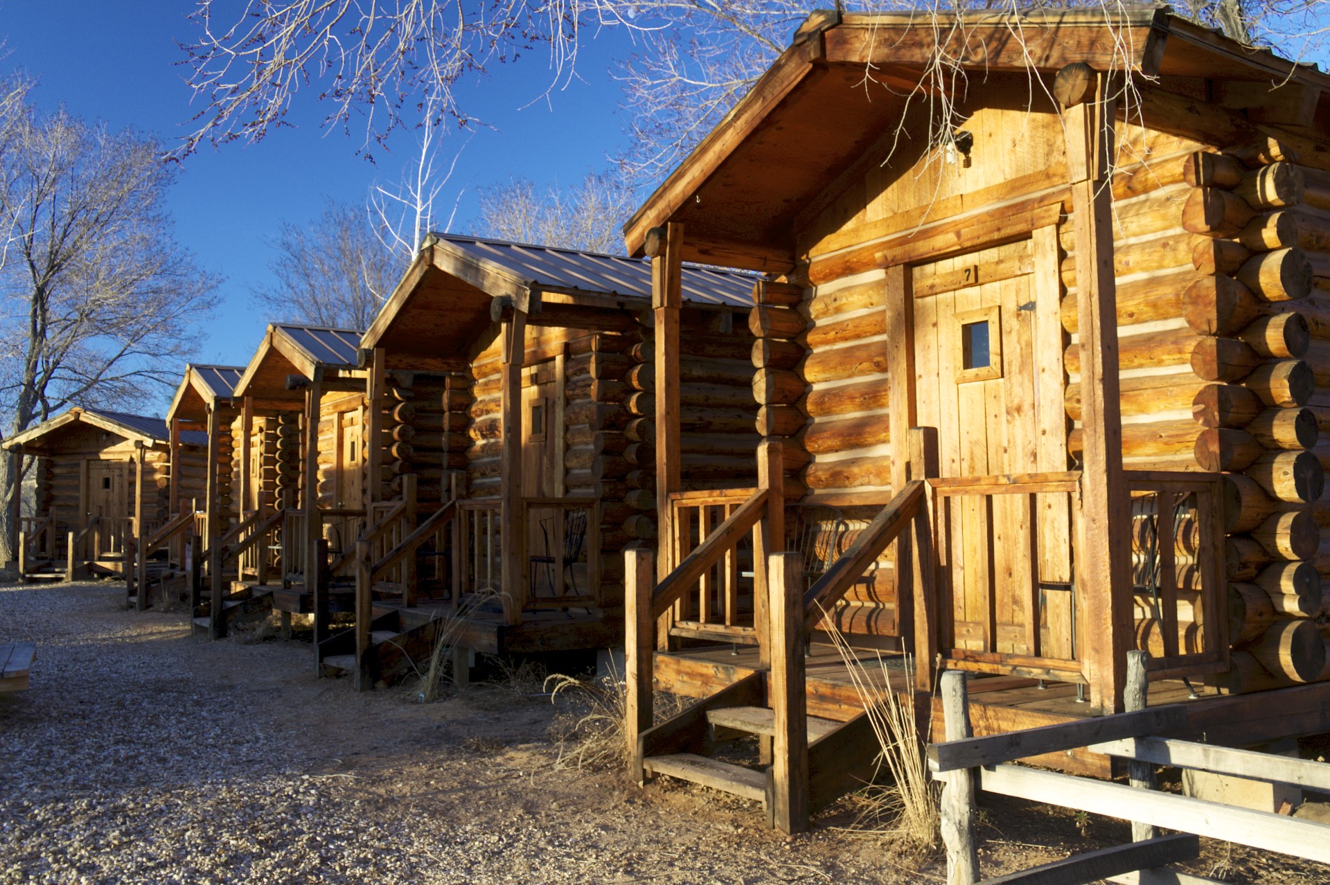
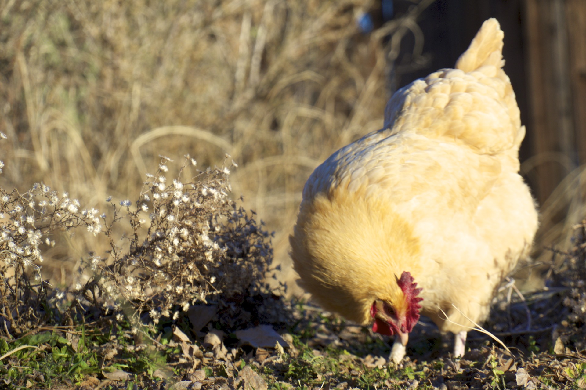
A large relatively new log cabin with the appearance that it was once a home converted to business purposes served as the headquarters of the Outfitter while out back 7 tiny single-room cabins wrapped around a central bathhouse and a ramada with a few picnic tables with a handful of loose chickens roaming about. I could tell as soon as I walked in the door of the main cabin that I was going to spend some time here. The main room had quite a library of guide books to the area, nearly every map imaginable, and a wide selection of outdoor gear. Another room that was obviously added on to the original building along with an outdoor porch contained a small restaurant serving sandwiches, pizza, calzones, beer, and caffeinated beverages (the latter 2 a rarity in rural Utah due to Mormon sensibilities). The Outfitters even serves as the town's liquor store with a trickle of (presumably non-Mormon) locals popping in to grab a latte and a bottle for later. Nearly everything that is otherwise difficult to find in southern Utah in one location.
This may not seem like such a big deal but traveling around in the backcountry I'm constantly worried about breaking some critical piece of equipment or running out of essential supplies. Most of the ranchers who live in rural Utah head out into the backcountry to round up their cattle or go hunting, not to spend a few days backpacking along the bottom of a canyon; outdoor stores are scarce so replacing a water purifier or finding fuel canisters for a stove would likely involve a round-trip of a few hundred miles. I settled into one of the cabins (barely big enough to fit for the queen bed it contained) for the next few days and took my first shower after a solid week on the road sleeping in a tent.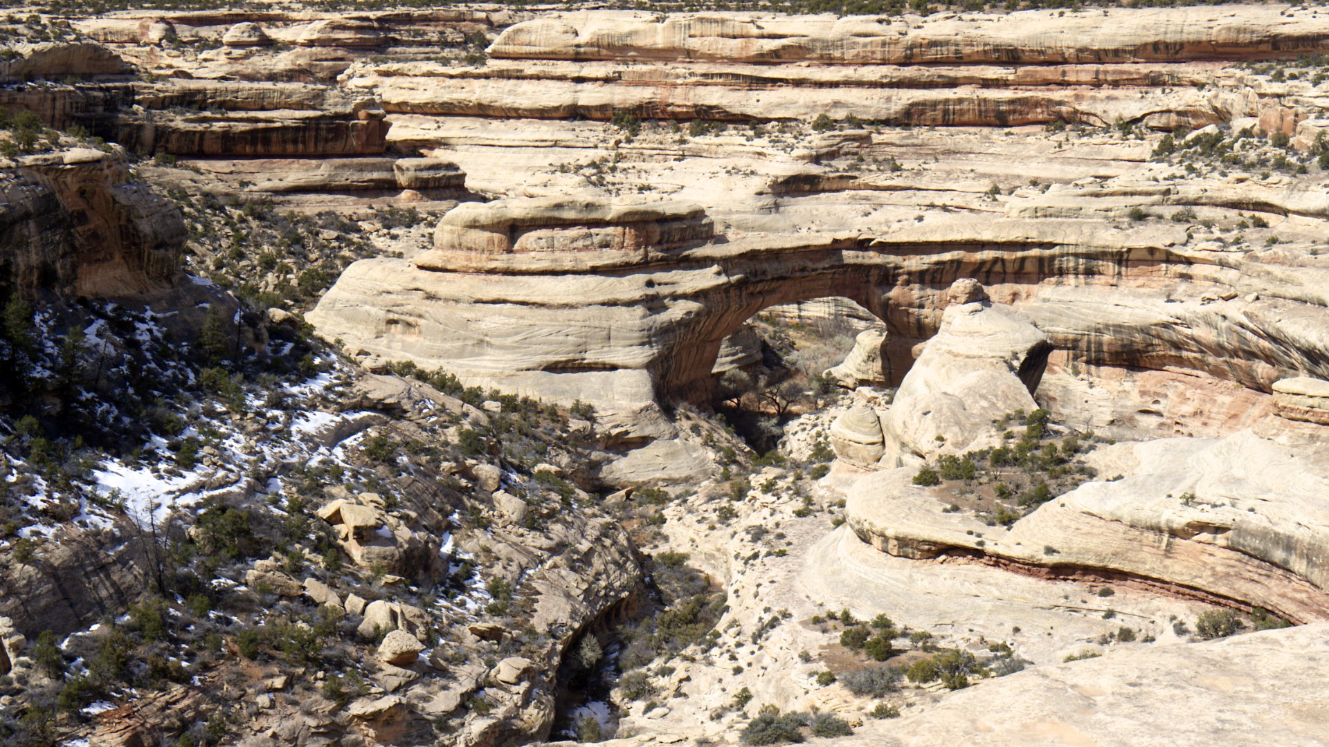


- Acadia National Park
- Adirondacks
- Aerial
- Airstream
- Ancient Bristlecone Pines
- Anza-Borrego
- Appalachian Trail
- Arches National Park
- Backpacking
- Bad Larry
- Bears Ears National Monument
- Boatpacking
- Boston
- Bryce Canyon National Park
- Canoeing
- Canyon de Chelly National Park
- Canyoneering
- Canyonlands National Park
- Capitol Reef National Park
- Caribbean
- Catskills
- Cities
- Climbing
- Colorado National Monument
- Colorado Plateau
- Death Valley National Park
- Europe
- Fisher Towers
- Grand Canyon National Park
- Grand Staircase-Escalante National Monument
- Grand Teton National Park
- Gunks
- Hiking
- Iceland
- Joshua Tree National Park
- Lassen Volcanic National Park
- Manzanar National Historic Site
- Mojave Desert
- Mojave National Preserve
- Mountaineering
- Mt Washington
- Mt Whitney
- Natural Bridges National Monument
- New York CIty
- Pacific Northwest
- Petrified Forest National Park
- Pinnacles National Monument
- Red Roamer
- Road Trips
- Rocky Mountains
- Ruins
- Sailing
- San Diego
- San Francisco
- Sequoia National Park
- Sierra Nevada
- Skiing
- Sonora Desert
- Spelunking
- Superbloom
- Superstition Mountains
- White Mountains
- Yellowstone National Park
- Yosemite National Park
- Zion National Park